Hello again people and pooches. Joe the Cocker here. I’ve just walked around Rocky Woods and Gardden Hillfort from Ruabon, one of my regular haunts. This walk can be found on the Wynnstay Arms leaflet that is available online and in paper form from the hotel. It was raining when we left so we both wore waterproofs. I think that my human dresses me in a waterproof fleece so that when we return home, there is less of me for him to wash. If it was about keeping me dry, he would have bought me a ridiculous bobble hat like he wears.

The Wynnstay Arms is a former 18th century coaching inn. The Football Association of Wales constitution was drawn up here in 1876. The Association for Prosecuting Felons held their meetings here in Victorian times with the purpose of encouraging witnesses to crime to come forward.
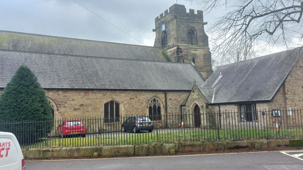
We set off from the Wynnstay Arms and headed along Church Street, passing the prominent Grade l listed St. Mary’s Church. Some of the interior dates back to the 13th century with the existing tower being constructed in the 14th century. Much of the current building was constructed and fitted out in the 19th century and four of the church bells were added in the 18th century. They sound at every 15 minutes, 24 hours per day along with Sunday calls to worship.
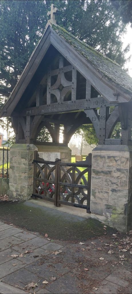
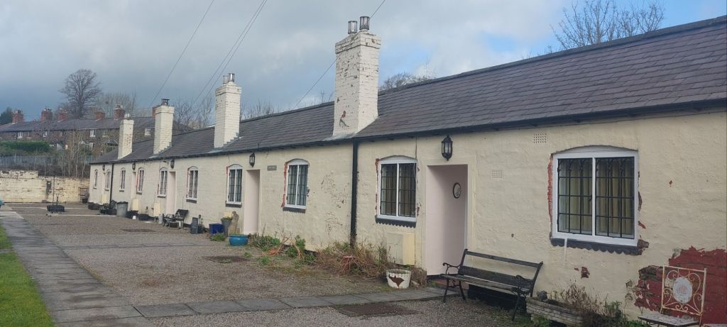
The lyche gate, just off the pavement, commemorates those fallen in the two World Wars. The street is within the Ruabon Conservation Area and contains a number of Grade ll listed buildings, including the much photographed Almshouses. Built in 1711 by Vicar Richard Davis to house the poor and are currently receiving some TLC.
The route took us uphill on the right immediately after crossing the railway bridge.
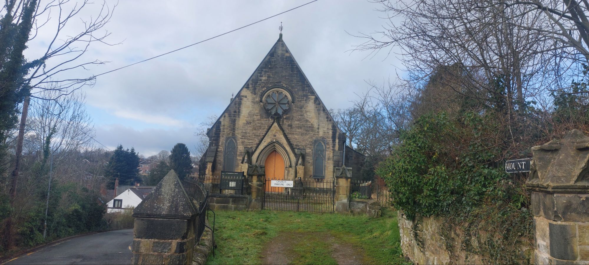
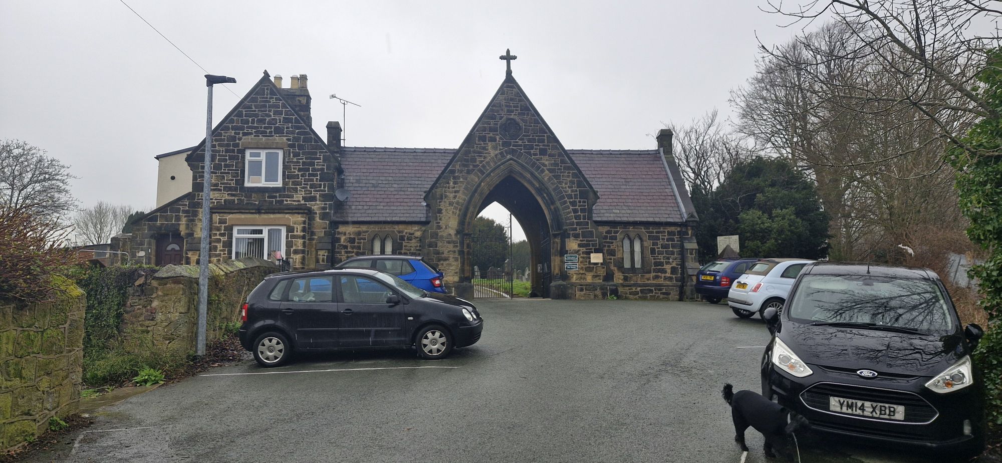
The Grade ll Mount Pleasant English Congrgational Church sits on the mound directly ahead. The church was built in 1848 at a cost of £1200.
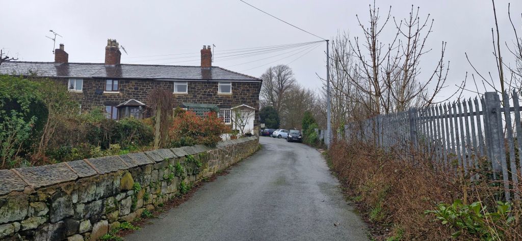
On the left is a row of houses called Mount Pleasant just below Ruabon Cemetery entrance.
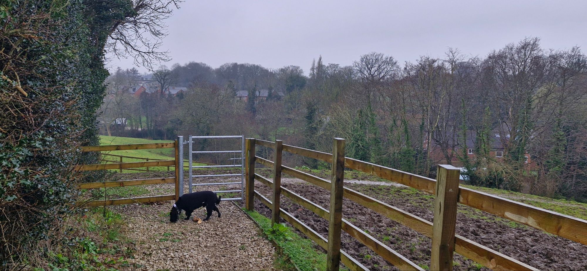
Our journey took us through a gate at the right of the cemetery entrance. The cemetery contains six Commonwealth was graves, three from each of the two World Wars.
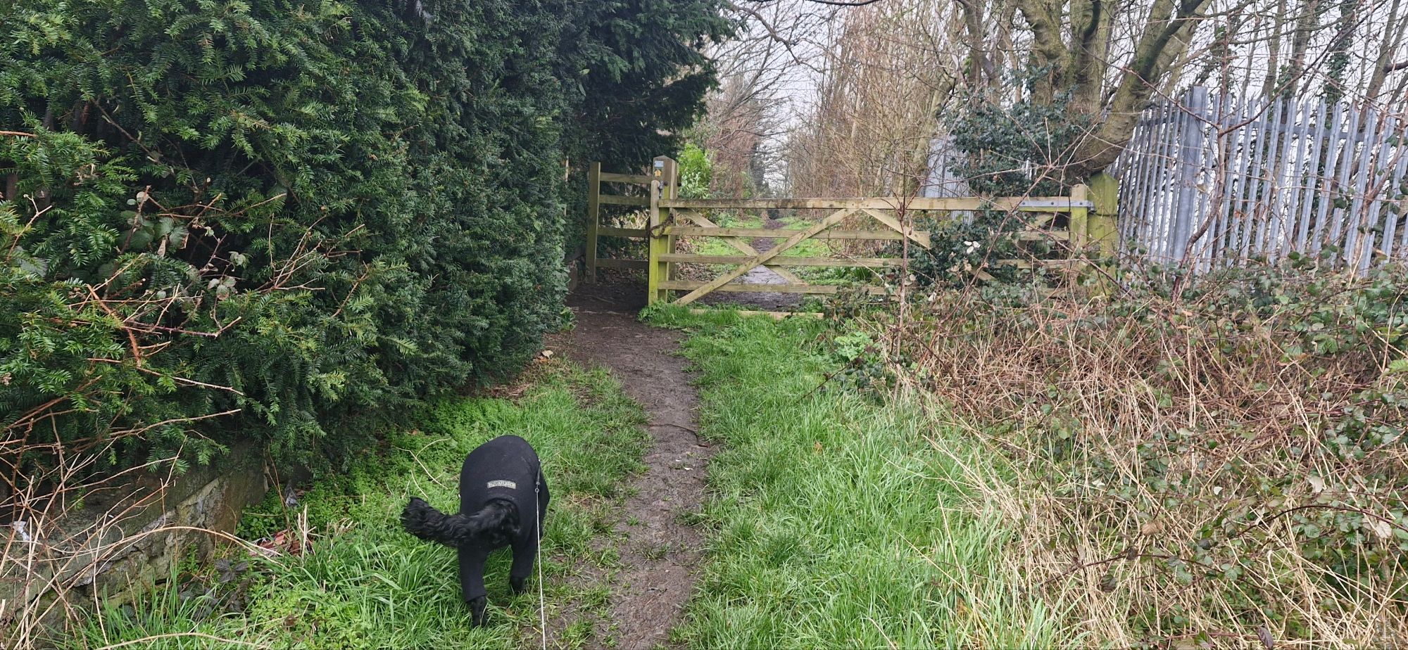
After passing through a wooden gate, we walked along a path between the graveyard and the railway below on our right.
On reaching a metal kissing gate, we turned left along the side of the graveyard on a well trodden path. The walk was starting to get muddy at this point. My human threatened me with a hosing down when we returned home. I didn’t mind. Mud and puddles. Yay!!!
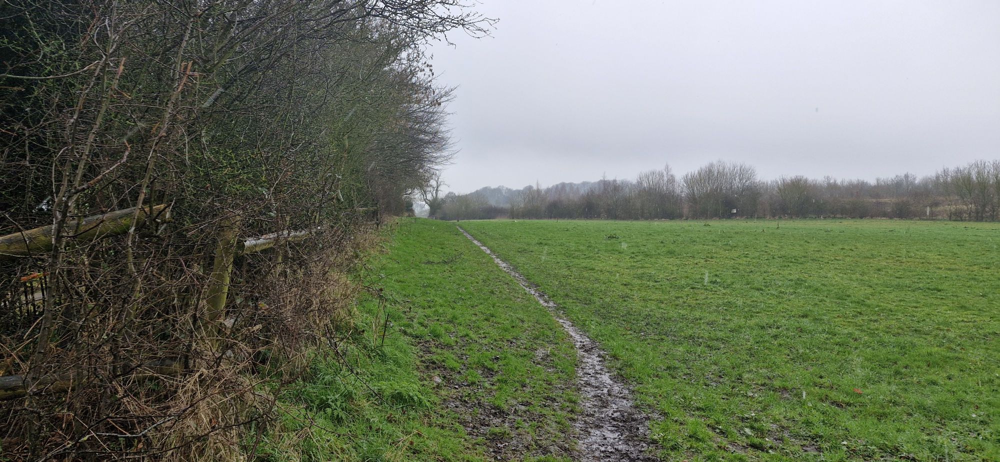
The path was easy to follow because it is well-trodden by dogs taking their humans for a walk.
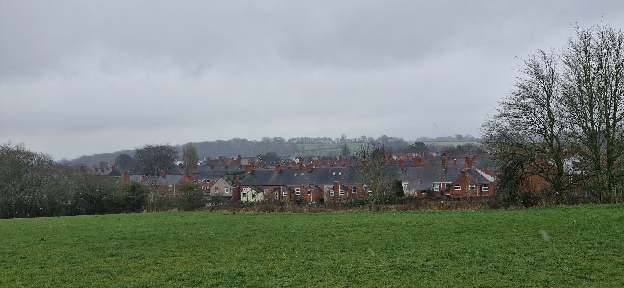
We looked behind us over the red brick village of Ruabon. It was a grey and overcast day, so my dad wasn’t happy with his photographs. Well, he chose a wet and drab day to do the walk. He is about as bright as the weather was.
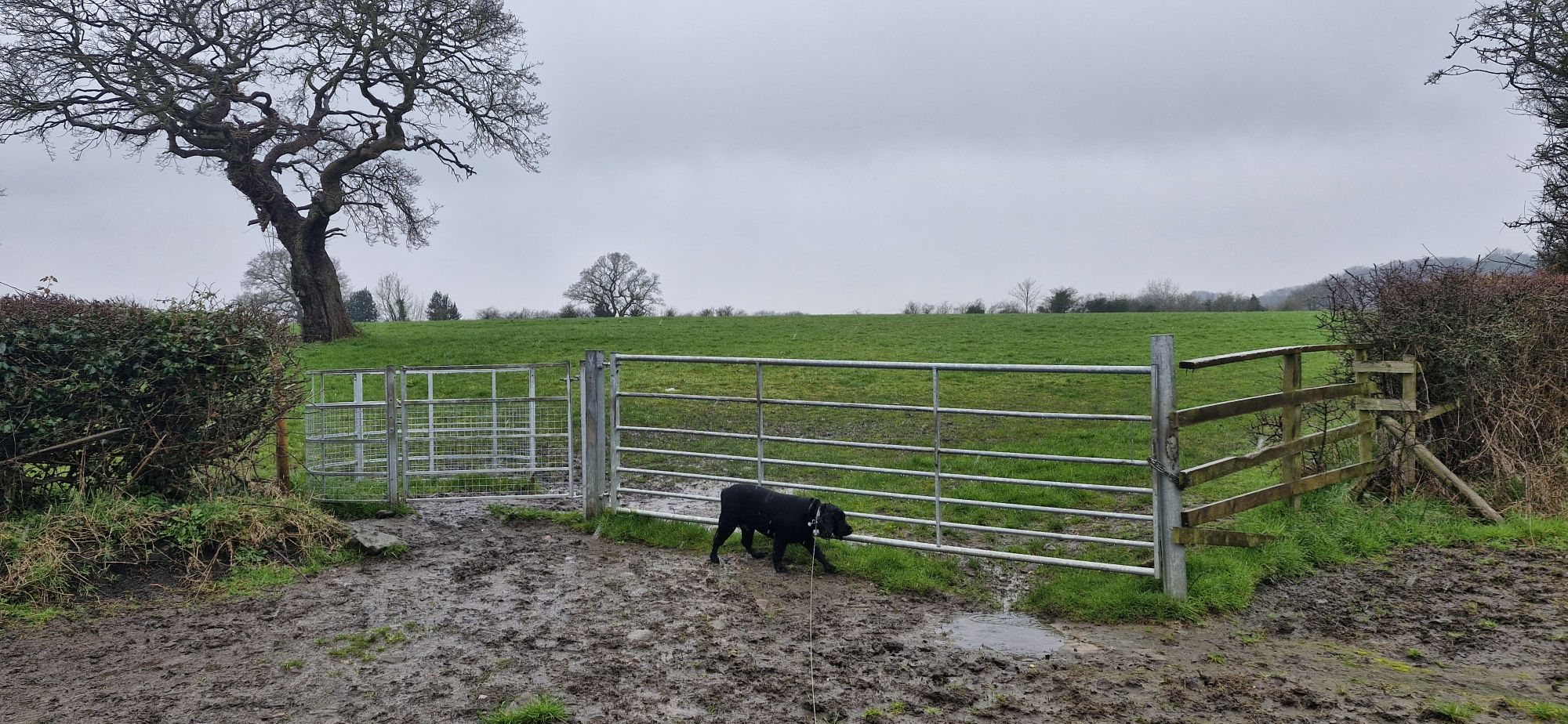
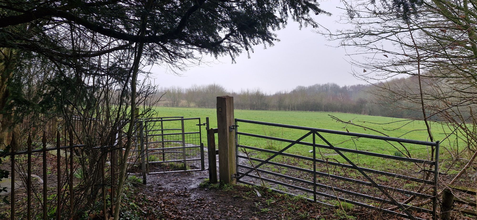
We soon reached a very muddy exit from the field at another metal gate. My human was tippy-toeing through the mud in his size 10 hiking boots. ‘Why?’ I asked myself. I ploughed straight through it in my bare paws!
The walk continued along the right side of the next field until we reached, yet another metal gate.

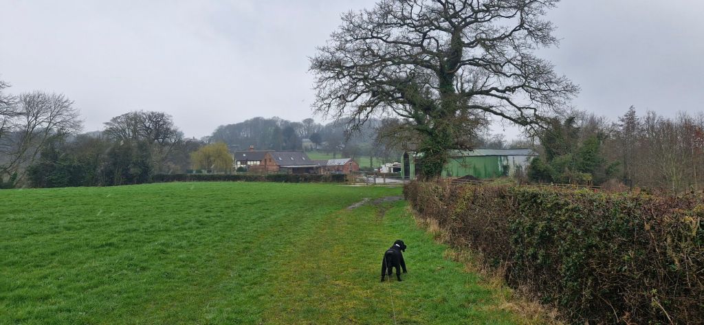
The relatively recently laid stone path passed alongside Tatham Farm and its horses, who watched us as we watched them.
We turned right as we passed through another metal gate.
This section of path was a bit muddy and churned up by horse hoof prints. Twinkletoes slipped a few times. I think that he would get around a bit easier if he used his front paws as well, like I do!

The path funnelled between hedgerows at the rear of houses on Tatham Road. We passed through two metal gates before we reached the roadside.
We turned right and headed downhill along Tatham Road. The road runs parallel to Offa’s Dyke on the left. The dyke was constructed by King Offa in the 8th century to form a border between England and Wales. At 82 miles in length the ditch was dug by hand producing a ridge twice the height of a double decker bus along the Welsh side.

The ridge is overgrown with well-established oak, beech and sycamore trees growing from it, and the ditch is partly filled, so the visual impact of the original construction is difficult to picture. It must have been spectacular in its day and an imposing barrier that was difficult to breach.

As the road flattens out, we turned left up a surfaced track with the Gardden Industrial Estate on our right.

We headed uphill, passing Pen y Gardden Lodge.

I found the entrance to the old Ice House where meat for Pen y Gardden Hall was stored in pre-freezer days. My human didn’t let me venture inside as it was full of junk and rubbish.

Just beyond ruined farm buildings and a gas storage yard, we headed up a rough muddy track with large stones embedded. The stones are supposed to make walking on the muddy track easier for humans and horses. Us pooches don’t need any help, but my human does. He slipped on one stone and almost face-planted. Only for some amazing acrobatics (unintentional) he would have hit the deck. Sometimes, I wish I had a camera.

It was snowing as we reached the site of the Iron Age Hillfort. There is little visible evidence of the activity and building in the area other than earthworks. I wondered if Iron Age pooches had to be on-lead. Somehow, I doubt it!
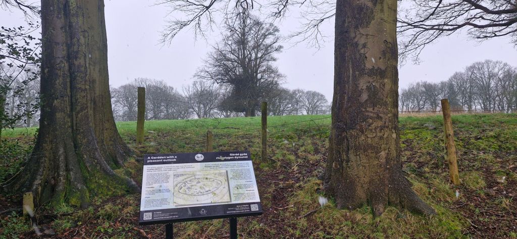
We weren’t allowed to investigate the area because it is now farmland, but there is an information board with a drawing of how the hillfort would have looked. In 1167 Owain Cyfeiliog, Prince of Upper Powys fought a fierce battle here against the English. The poem Hirlas Eucin was written about the Welsh victory.
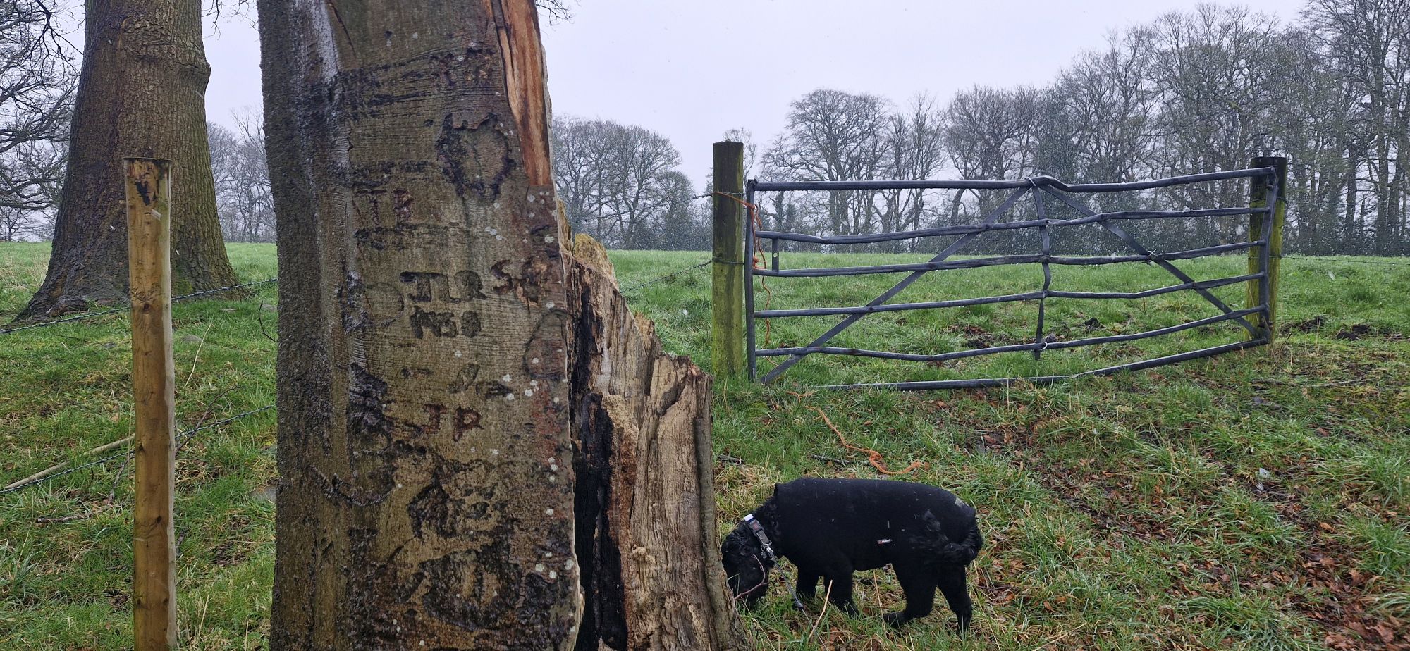
I was preoccupied with having a good mooch around while my human was trying to decipher the ‘ancient’ carvings on the tree trunk. He misses out on so much by not sniffing in the undergrowth.

We dropped down the path towards a t-junction where we turned right along another track.
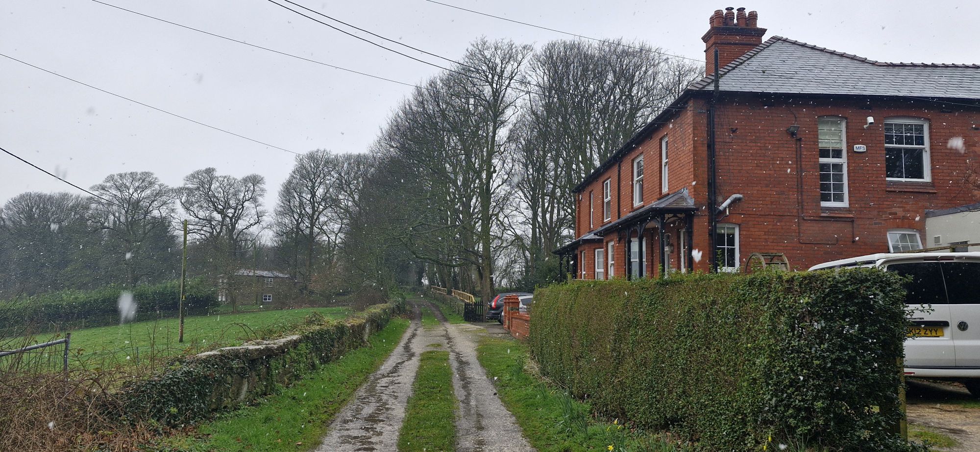
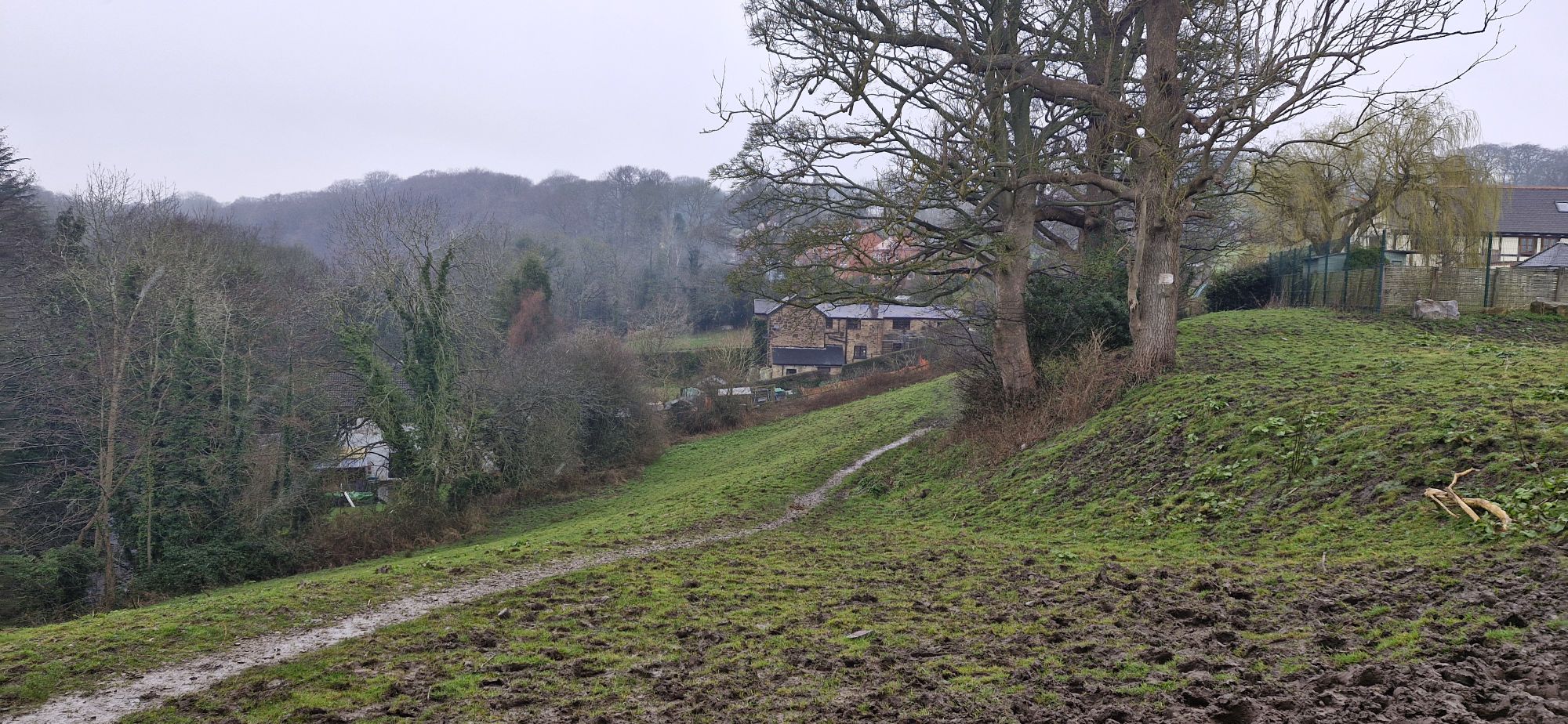
The track passed in front of a row of red brick houses that, on a brighter day, would command a sprawling view for miles over the countryside below.
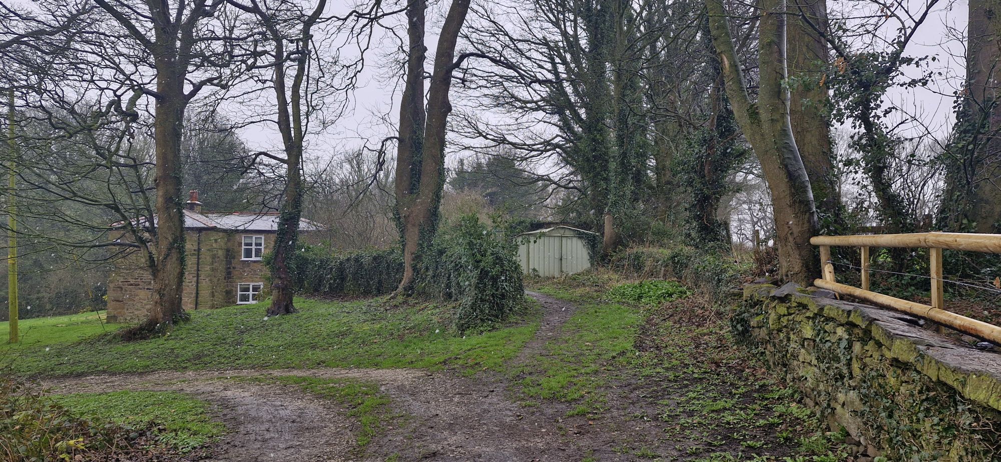
Beyond the houses, we took the right fork between a house and a metal garage that led into the woodland ahead.
It was time for me to run off-lead for a while. There are some steep and camouflaged drops within Gardden Woods, or Rocky Woods, as they are known locally. The name comes from the three old quarries in the area. We walk here regularly, so my human trusts me to not fall down a steep slope. I don’t have as much faith in him, however!
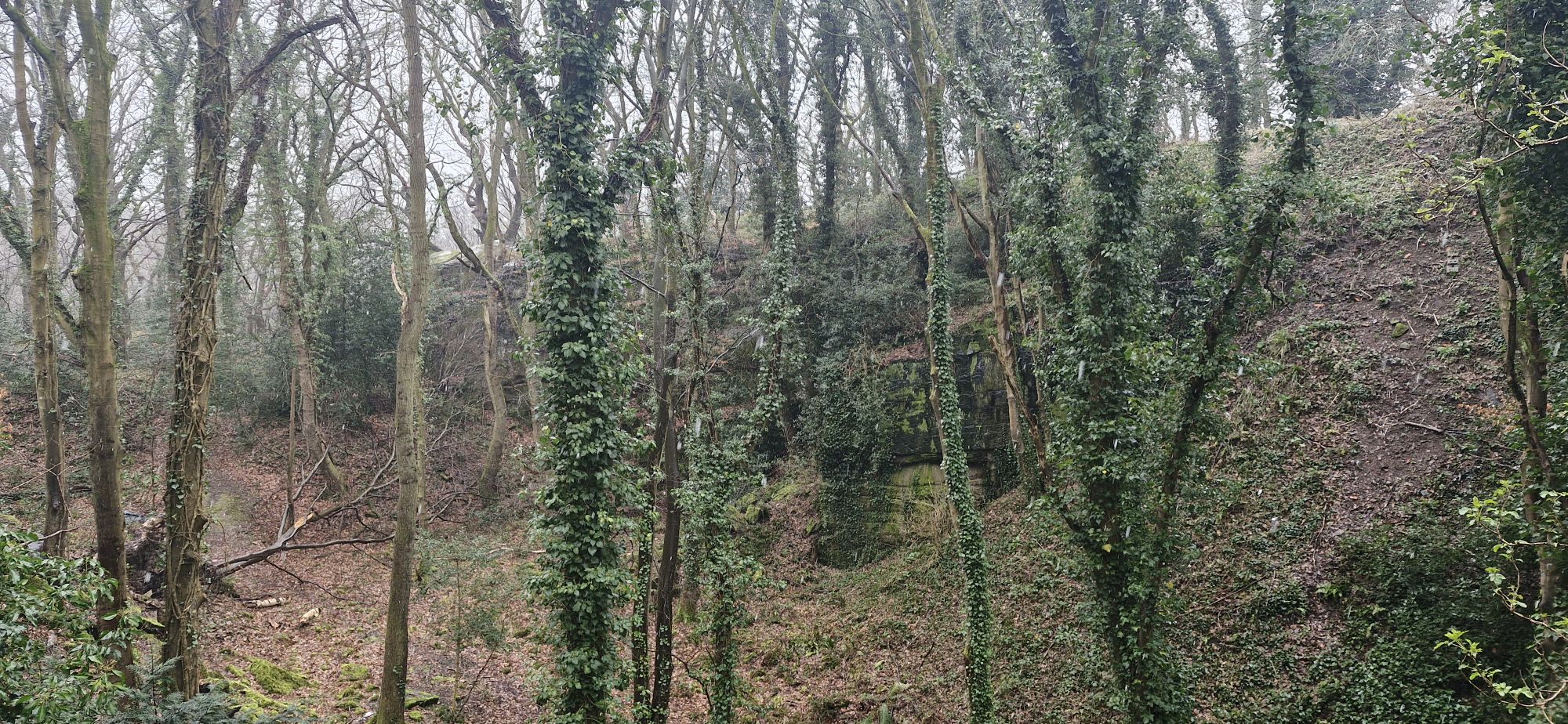
Immediately on the right, there is the remains of a sandstone quarry, which my human attempted to photograph. Not very successfully!
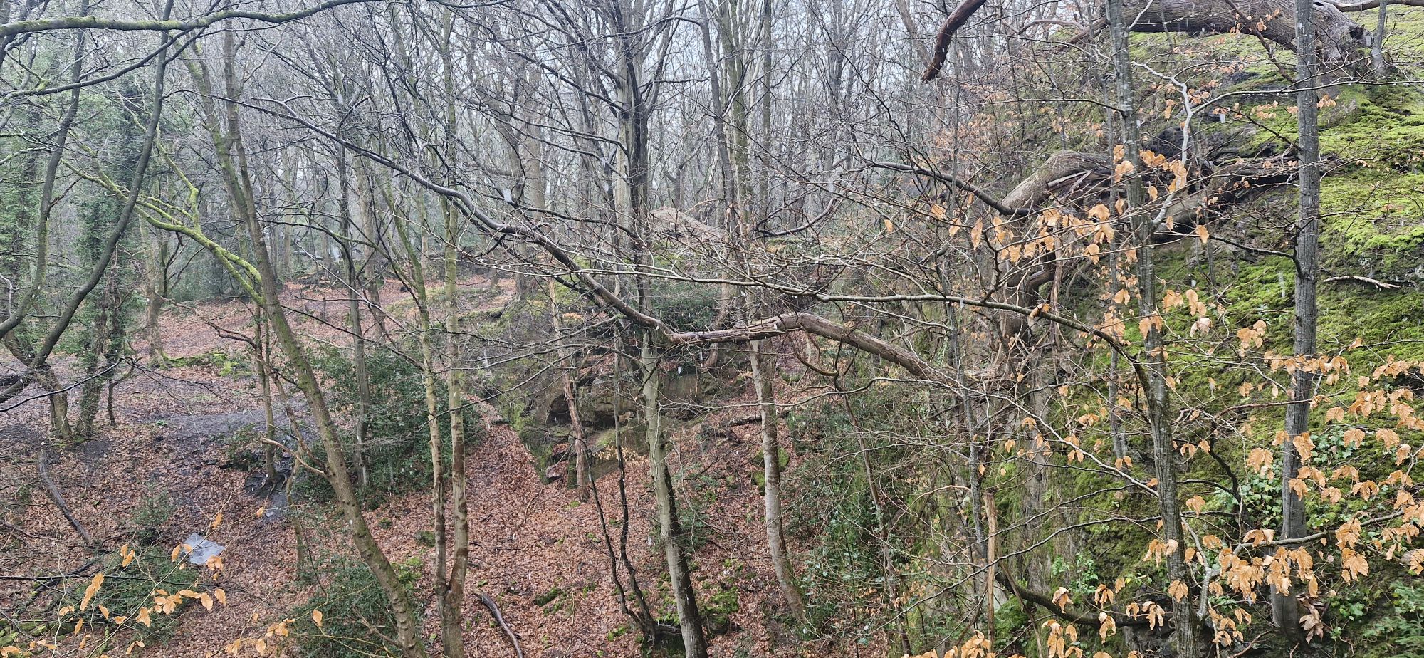
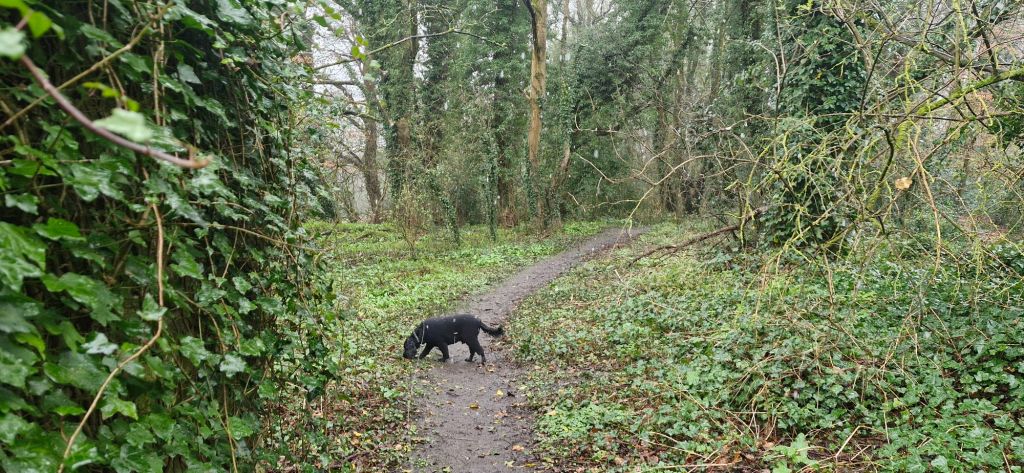
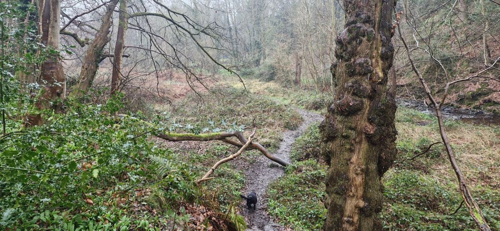
The path heads downhill as you enter the woods to join a wider track. My human decided that we would head straight into the woods along some of the minor paths so that he could have a good mooch around. We both enjoy mooching.
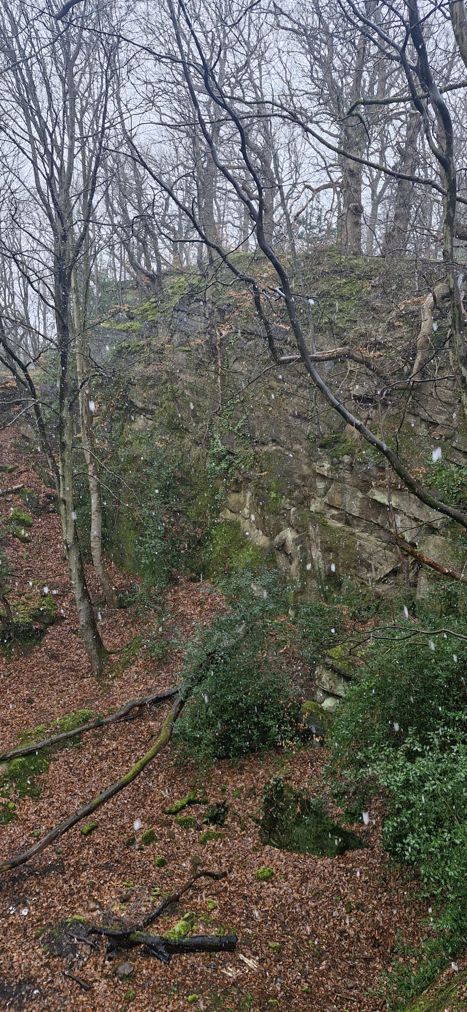
We found more evidence of the stone quarrying in the area as the snow continued. It wasn’t forecast to stick, so we plodded on.

This is when the Bear Grylls wannabe came a bit unstuck. He had a rather steep hillside to descend to the track. I was having a ball running up and down the slopes while he was looking for a sensible route downhill. The hillside was covered in wet leaves, exposed tree roots, and was muddy in places. After what seemed a lifetime to me, he finally ended up with me on the muddy track.
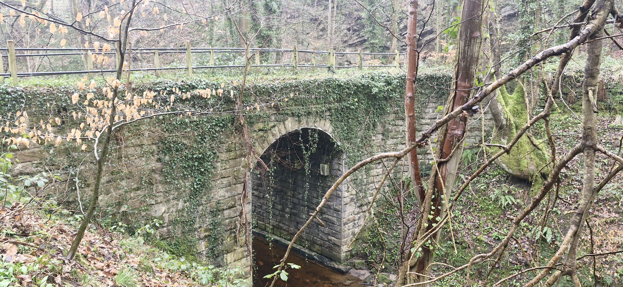
The leaflet sends the walker in the left direction when they reach the track, but my human wanted to turn right to visit Devil’s Bridge over Afon Eitha. The bridge was a ‘popular’ spot for suicides in the 18th century.
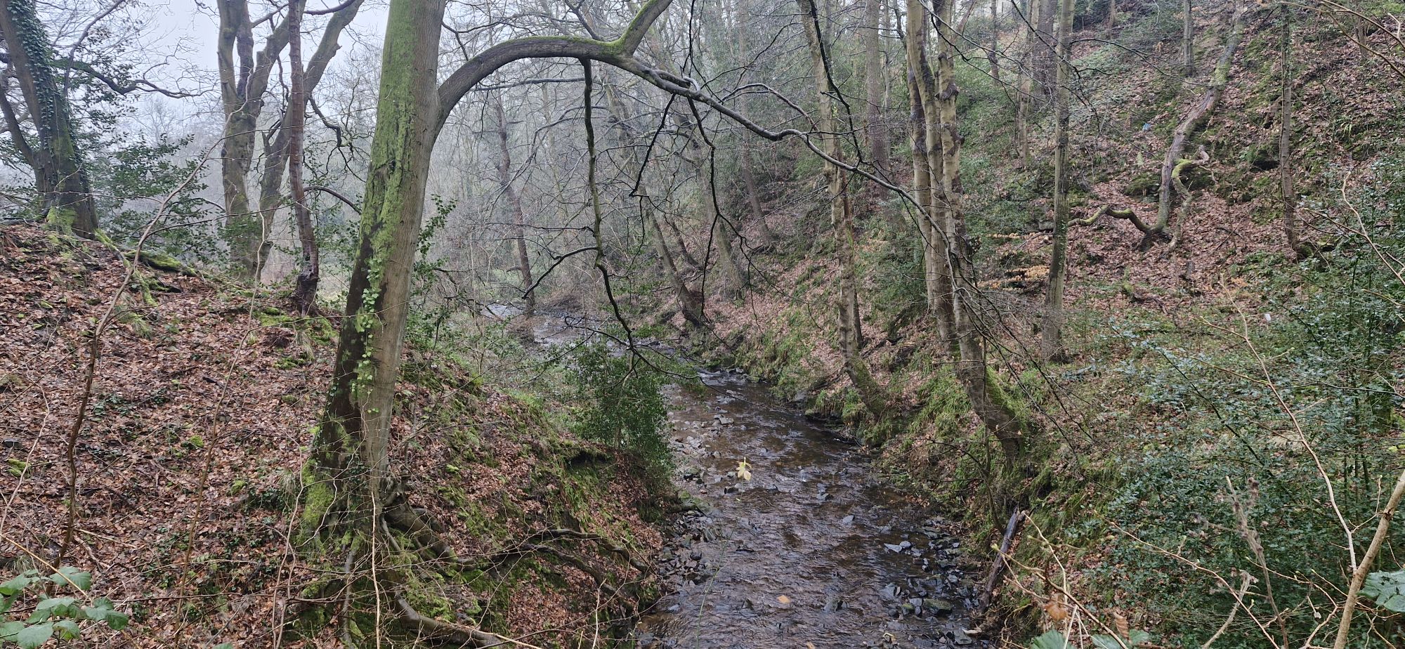
The river flows from here through the village of Ruabon. In the warmer months, when the river isn’t in spate, my human lets me run and splash around in the river. I wasn’t allowed on this day. He is such a killjoy!
Once we had spent a few minutes soaking up the atmosphere of the infamous area, we headed back along the path for a few yards. We turned off the track to head right and down a slippery track into an area known as Tinaragi.
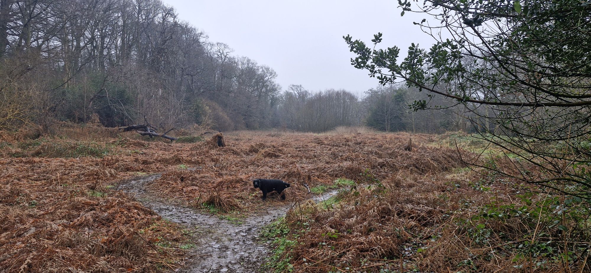
During the summer months, this flat bottom valley is overgrown with ferns. It feels prehistoric, and a grazing brachiosaurus would not be out of place. In the winter, the paths are obvious, and the vegetation is brown and dead. It still has a unique feel to it.
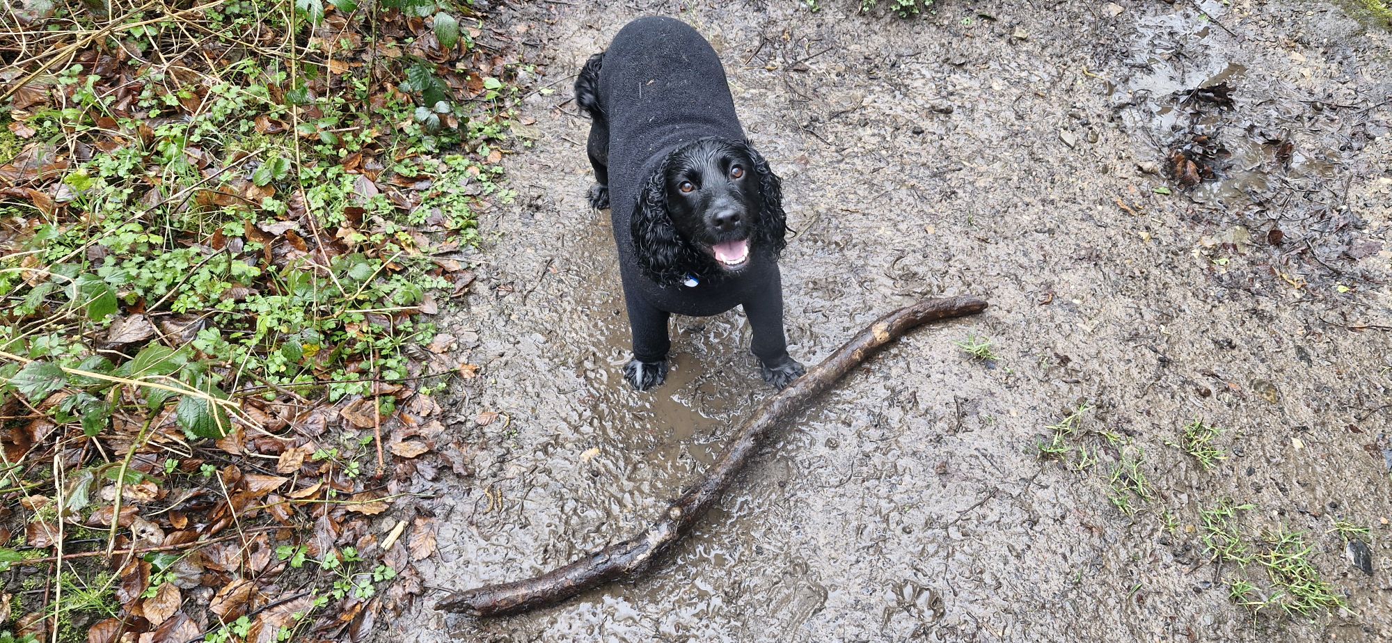
The path was very muddy in places, but I found an amazing stick that I managed to run through the undergrowth with. Sticks are the best!!
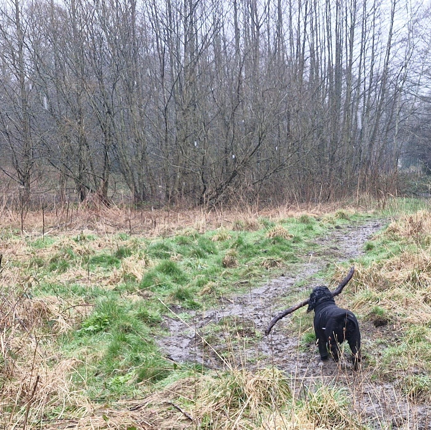
Running through mud with a big stick. What’s not to love?

Sadly, I had to leave my stick at the footbridge that leads out of the area. I couldn’t figure out how to jump over the barrier at the foot of the bridge, and the big meanie wouldn’t help me!
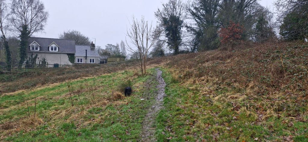
We followed the path up a slight incline, passing a house on the left and onto the football pitch.
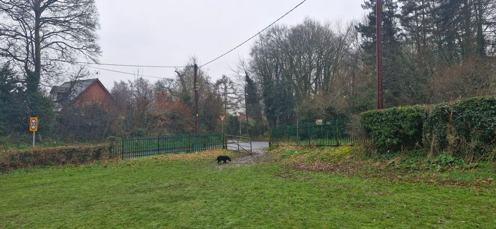
We walked around the perimiter of the park until we reached the exit gate in the far left corner.
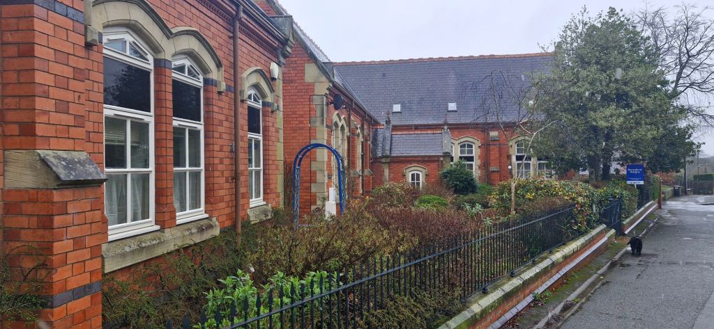
We turned left in the direction of the village, passing the old Ruabon Grammar School buildings. This is the second grammar school in the village. The original one is adjacent to St. Mary’s Church.

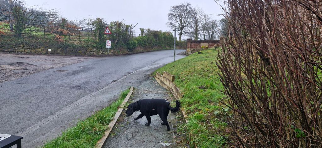
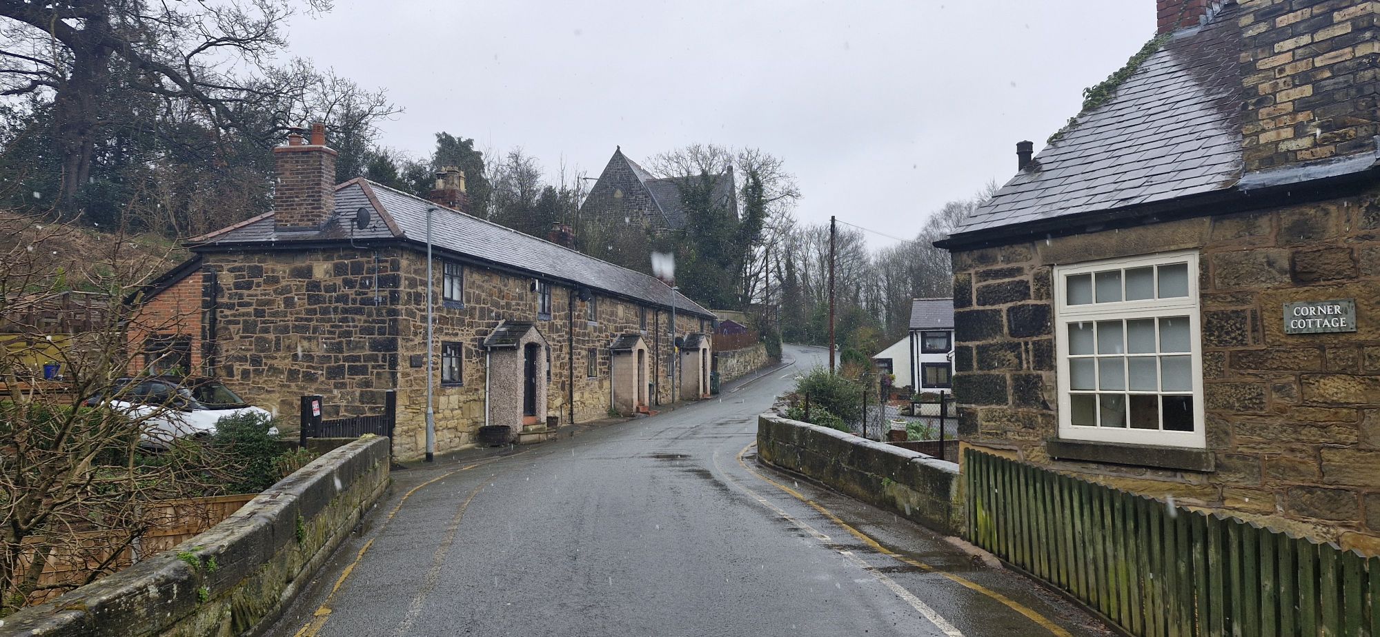
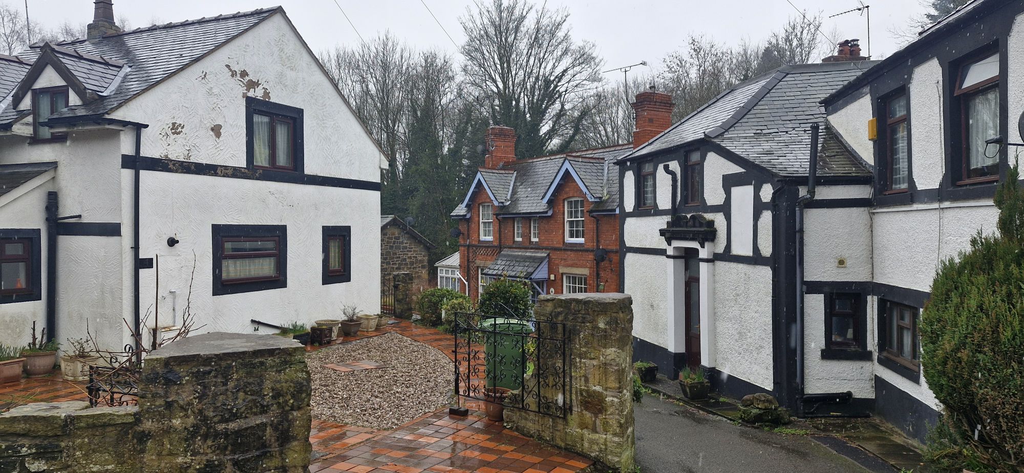
Further down the hill, we came across Pont Adam, the narrow bridge over the Afon Eitha. The original stone bridge was constructed in the 14th century by Abbot Adam of Vale Crucis Abbey near Llangollen. A house sits next to the bridge called Corner Cottage with a narrow lane, West End Terrace running behind.

At this point, the river flows under the bridge and between the houses.
We crossed the bridge and immediately turned right by a Public Footpath sign.
This took us past the now residential, Great Western pub. The lane leads to the river downstream of the weir.

The weir was noisy as we walked past due to the amount of rain in the area lately.

The path went under the road bridge and emerged at Ruabon Railway Station. My human says that the walls of the bridge could do with the graffiti being removed as it is a bit of an eyesore.
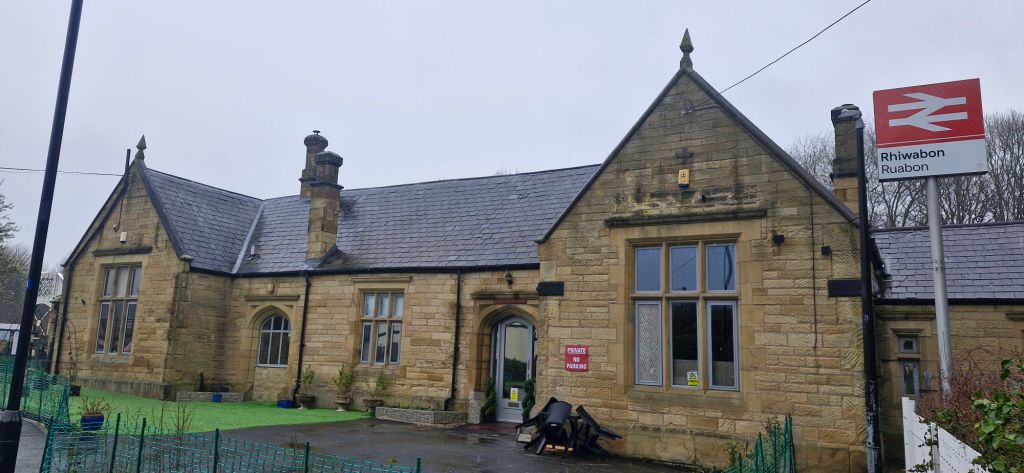
The Grade ll station building is currently residential as the station is unmanned nowadays. The current building was built in 1860 to replace one that was opened only 14 years earlier.
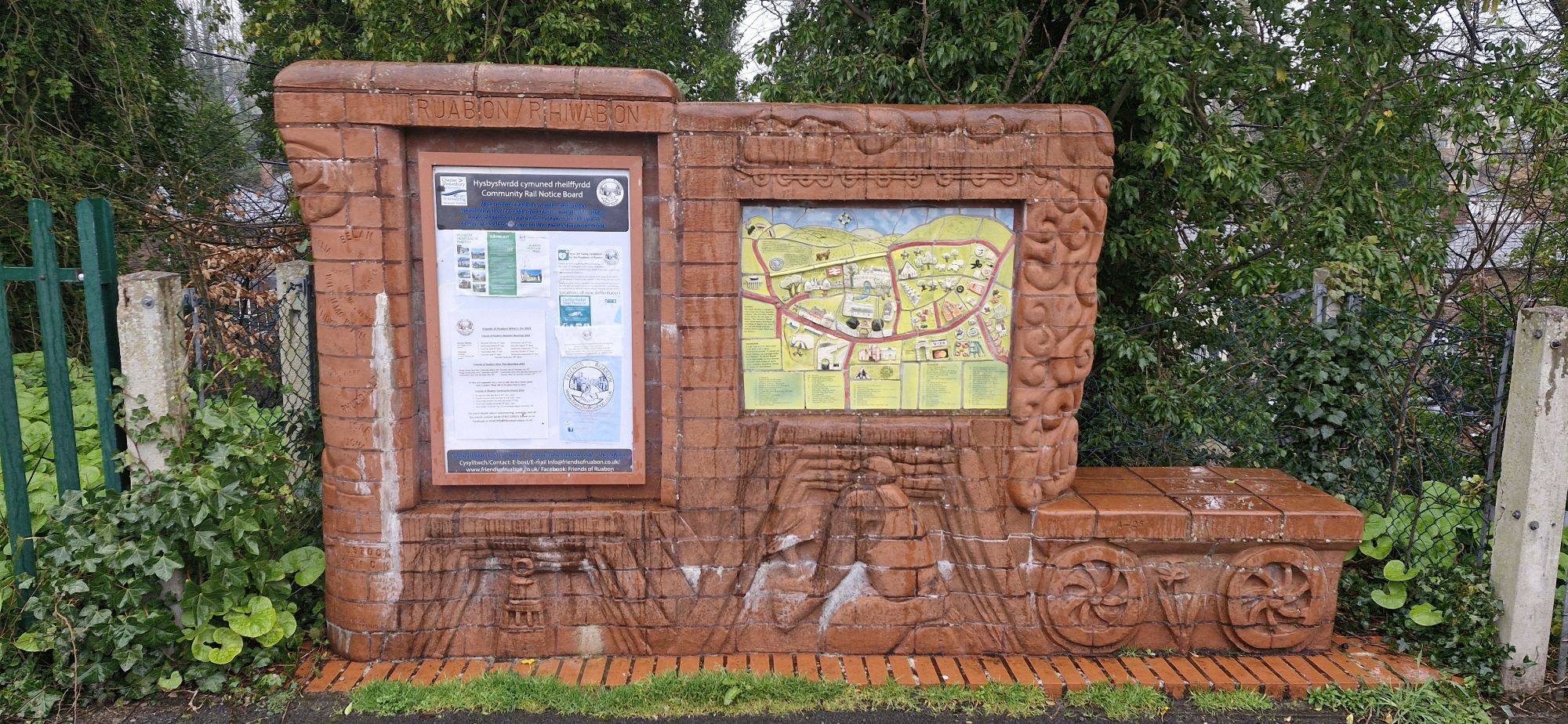
We passed the Friends of Ruabon noticeboard as we turned left down Station Road. The display contains a map of the village, which highlights some of the places of interest locally.
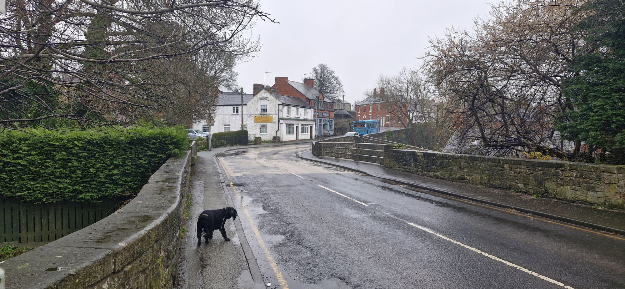
After crossing the road bridge, we headed uphill to the Wynnstay Arms. We passed 3 pubs on the way. The Bridge End Inn, The Vaults, and just off the road, The Duke of Wellington Inn. The Wynnstay Arms and the Con’s Club are a few yards away, making five places to have a pint within a few hundred yards.
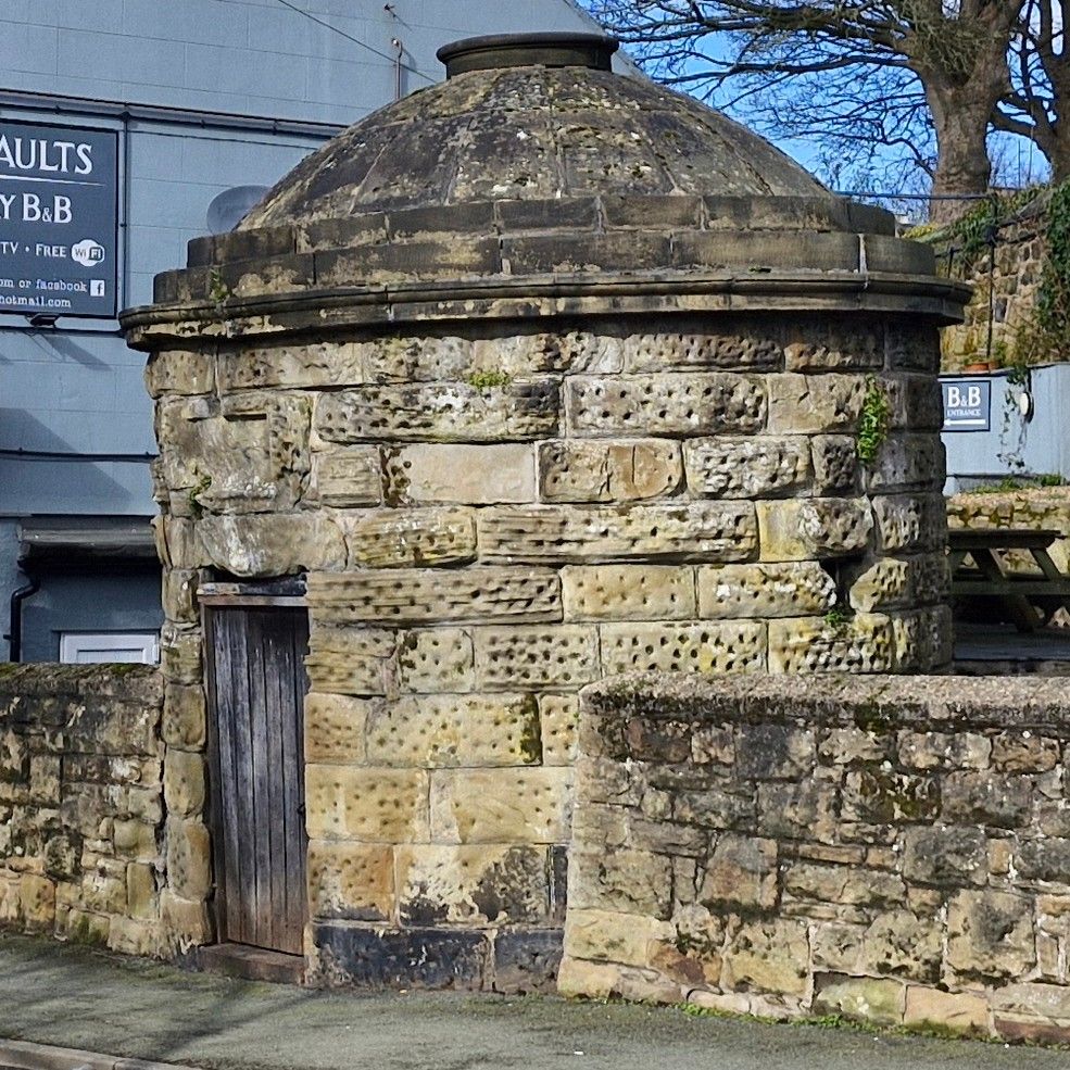
On the left, just after the Vaults is the Roundhouse. This was the local ‘lock up’, a one cell jailhouse used to house drunkards and minor criminals overnight.
Well, that was the end of our bimble around Ruabon. It was a really good walk of around 3 miles. The weather was a bit iffy but we enjoyed it. Till next time!

Thanks Joe, I really enjoyed reading about your ramble. It brought back memories of playing in Rocky Woods and Tynyraggy and my school days at Ysgol Rhiwabon. It sounds as if you had great fun in the mud, not so sure if your human enjoyed it as much. Looking forward to your next tail (sorry tale)
LikeLike
Thanks again for your kind words. My human is a lightweight. Well, not physically 😄😄
LikeLike