Hello people and pooches. Joe the Cocker here after walking the Ruabon Heritage Trail. It was early February, and the ground was muddy. The weather was a mix of sunshine and clouds.
We followed the route on the information board on the library wall. This is our experience on the day. We have taken photographs of the key waymarks on the trail. We have deliberately only given short descriptions of the landmarks that we passed. A full history of the village can be found in Remembering Ruabon by T.H. Pritchard.

We set off from the library where the plaque on the wall displayed the route that we were to follow. My human took a photograph of the route map so that he could refer to it on his phone. I tend to follow him when we are hiking because he tells me that if I do we won’t get lost. I’ve fallen for that old chestnut once or twice before but, this time, I know the area so if he gets lost, I definitely won’t.
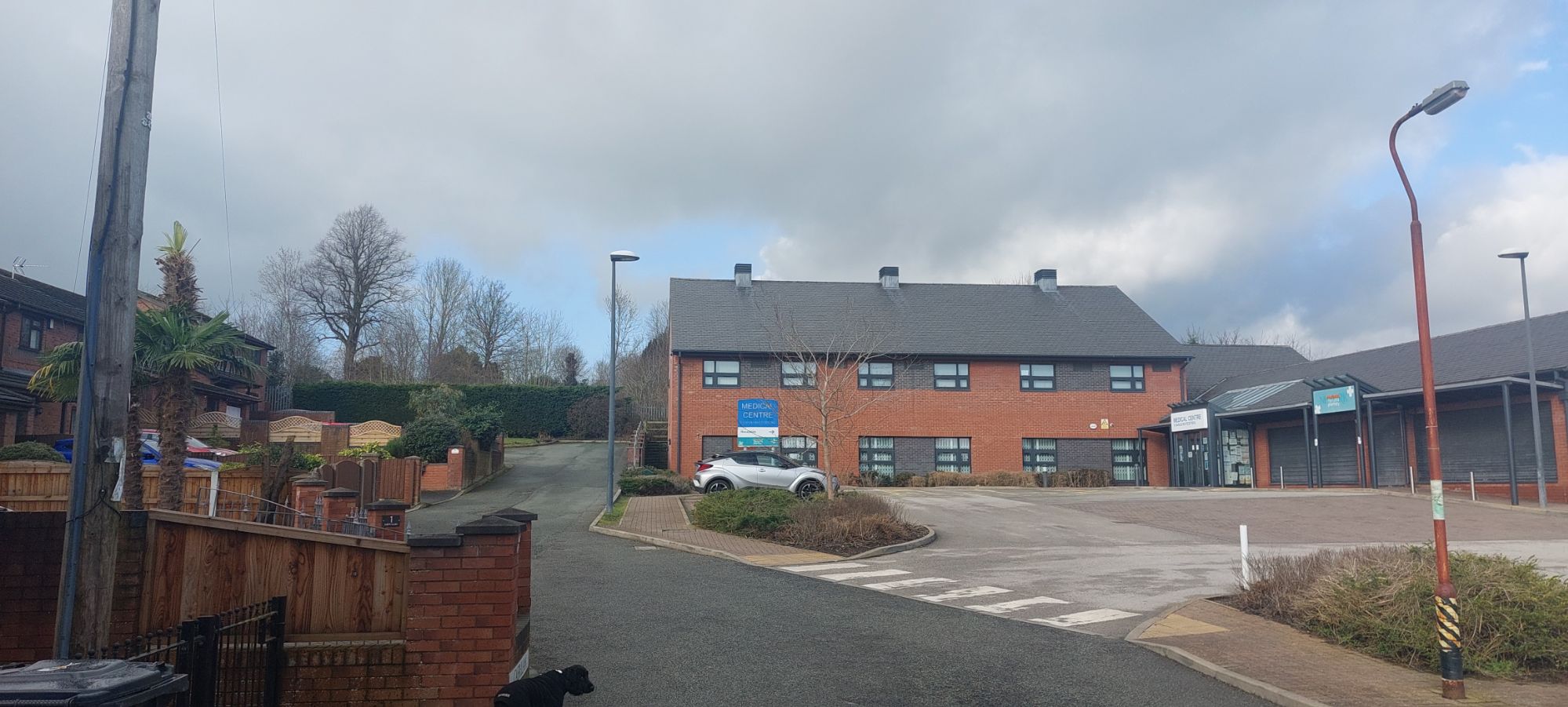
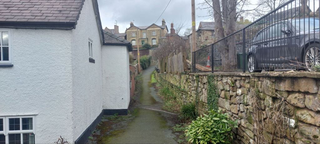
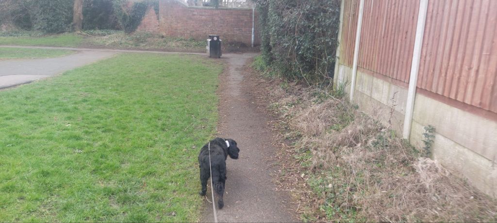
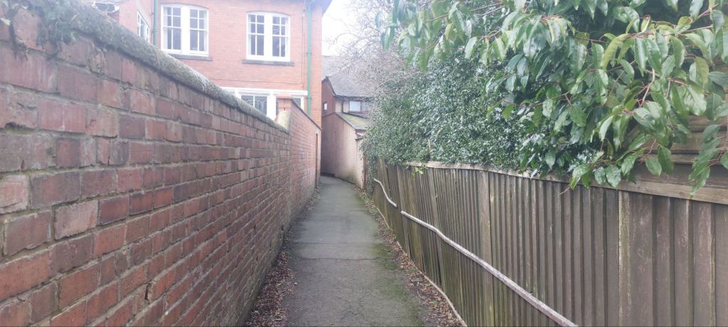
We headed past the Medical Centre and turned left along an alleyway between the houses. This led us to a patch of grass behind the Church Houses in Church Street.
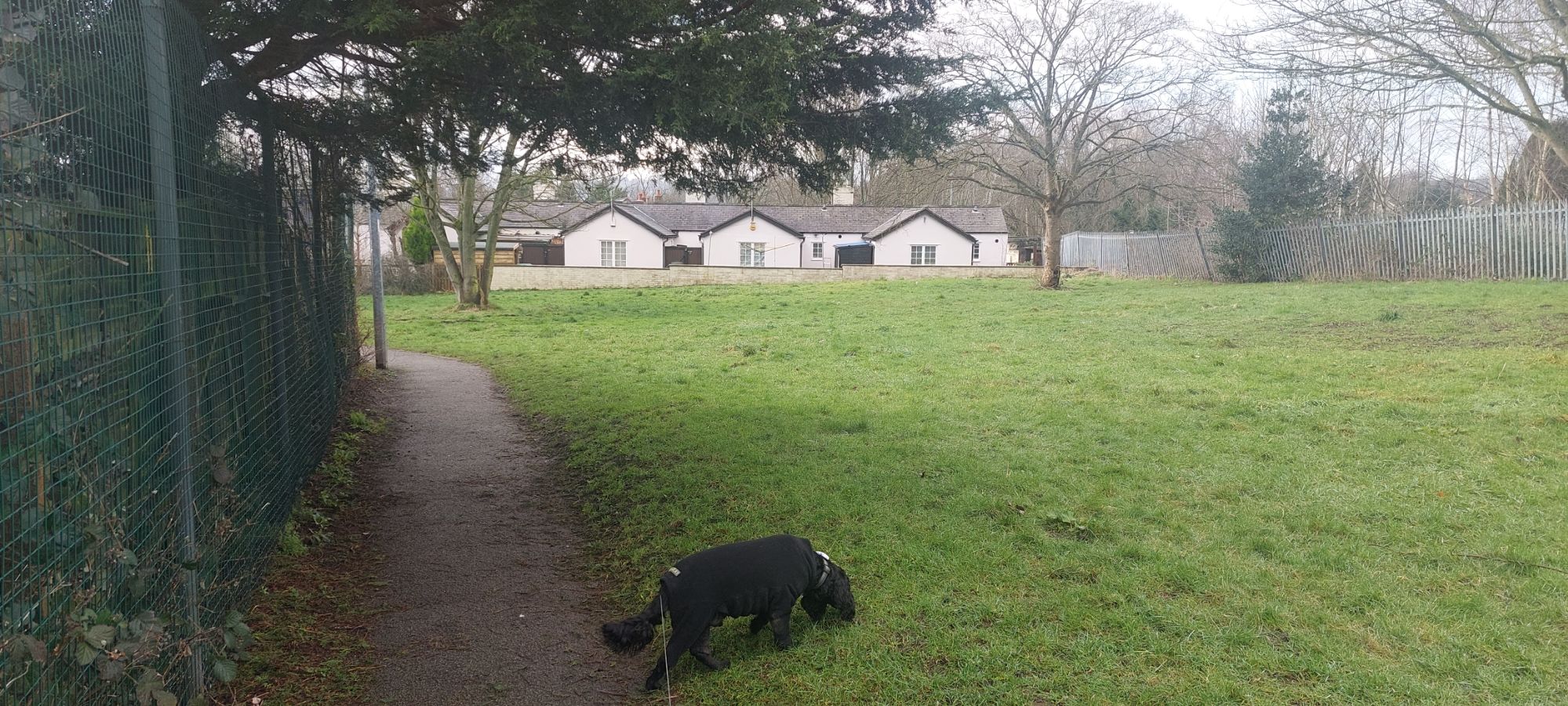
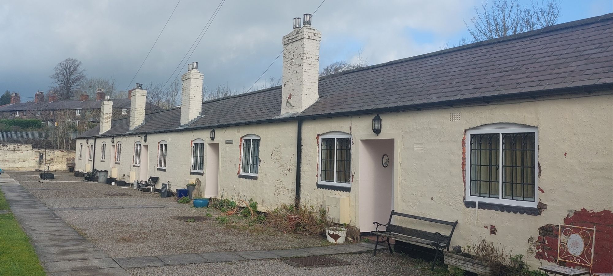
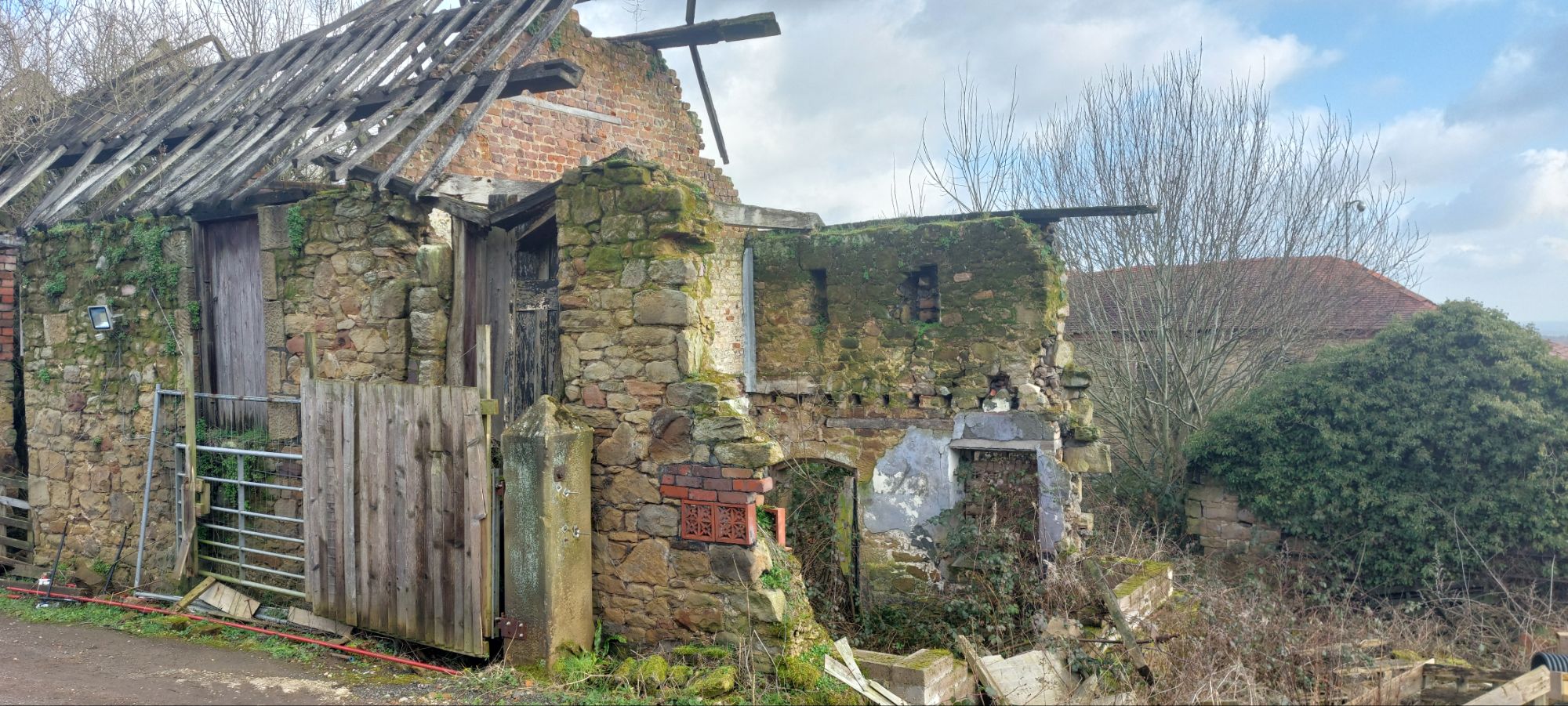
The Church Houses, also known as Almshouses, were built in 1711 and are currently receiving some TLC.
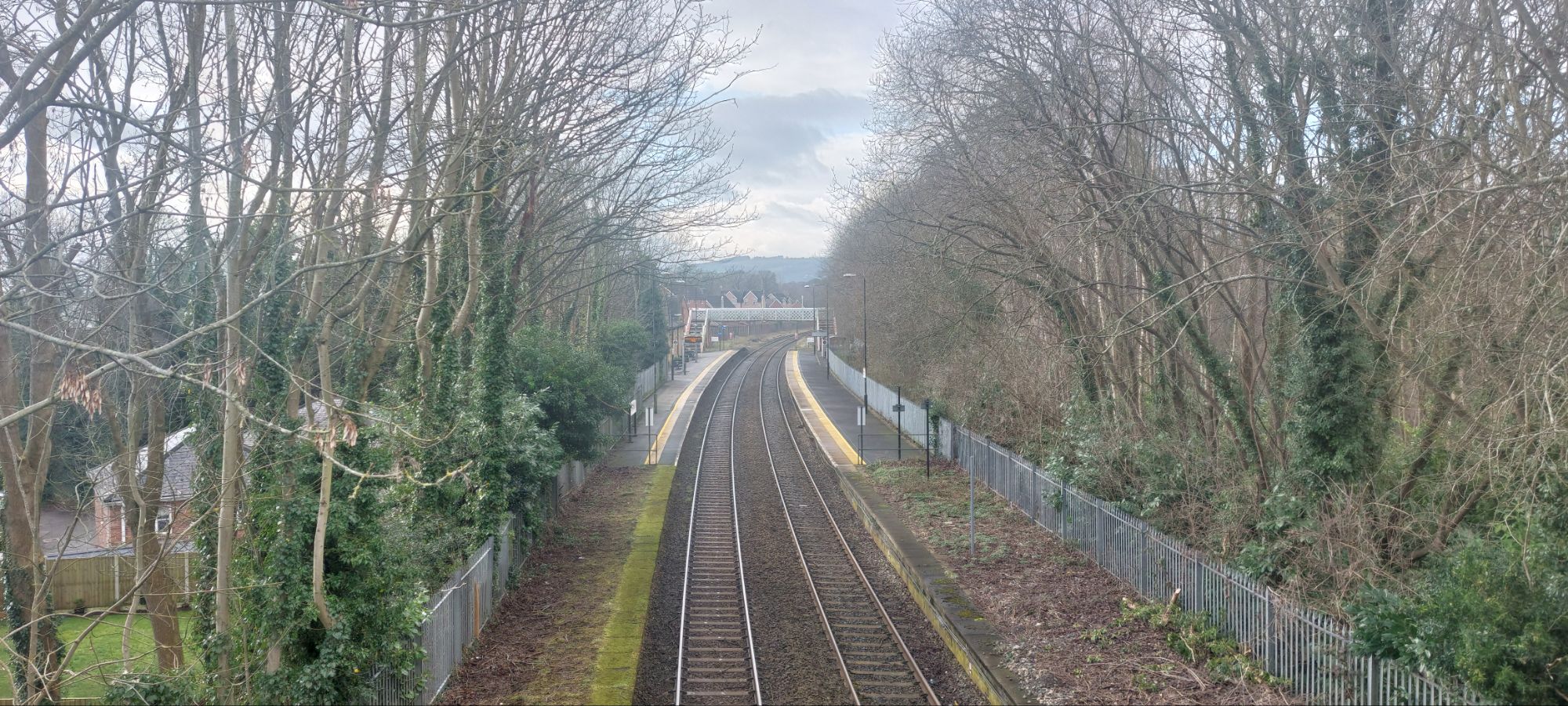
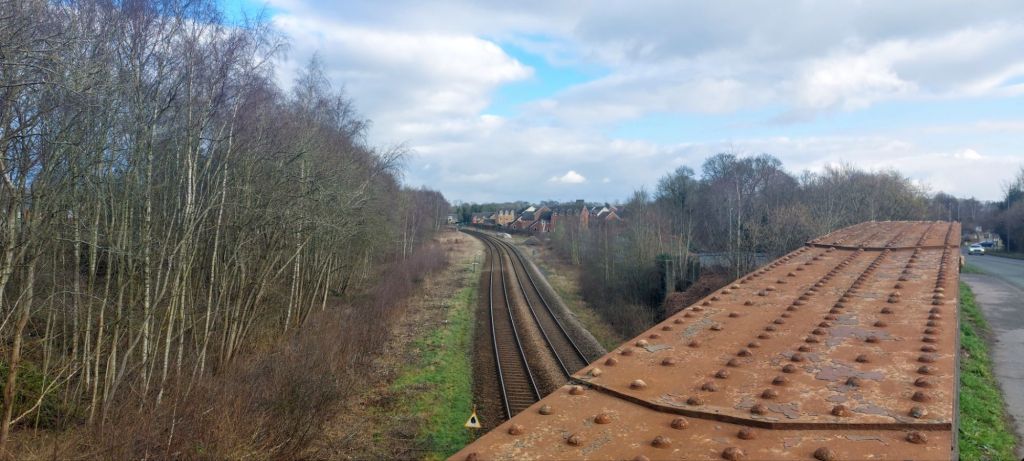
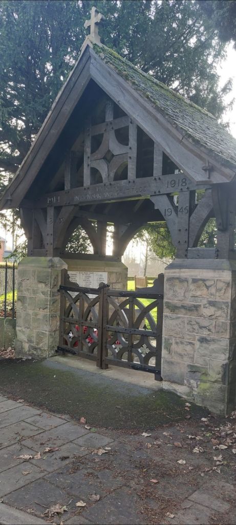
We crossed over the railway bridge with the cemetery entrance on our right.

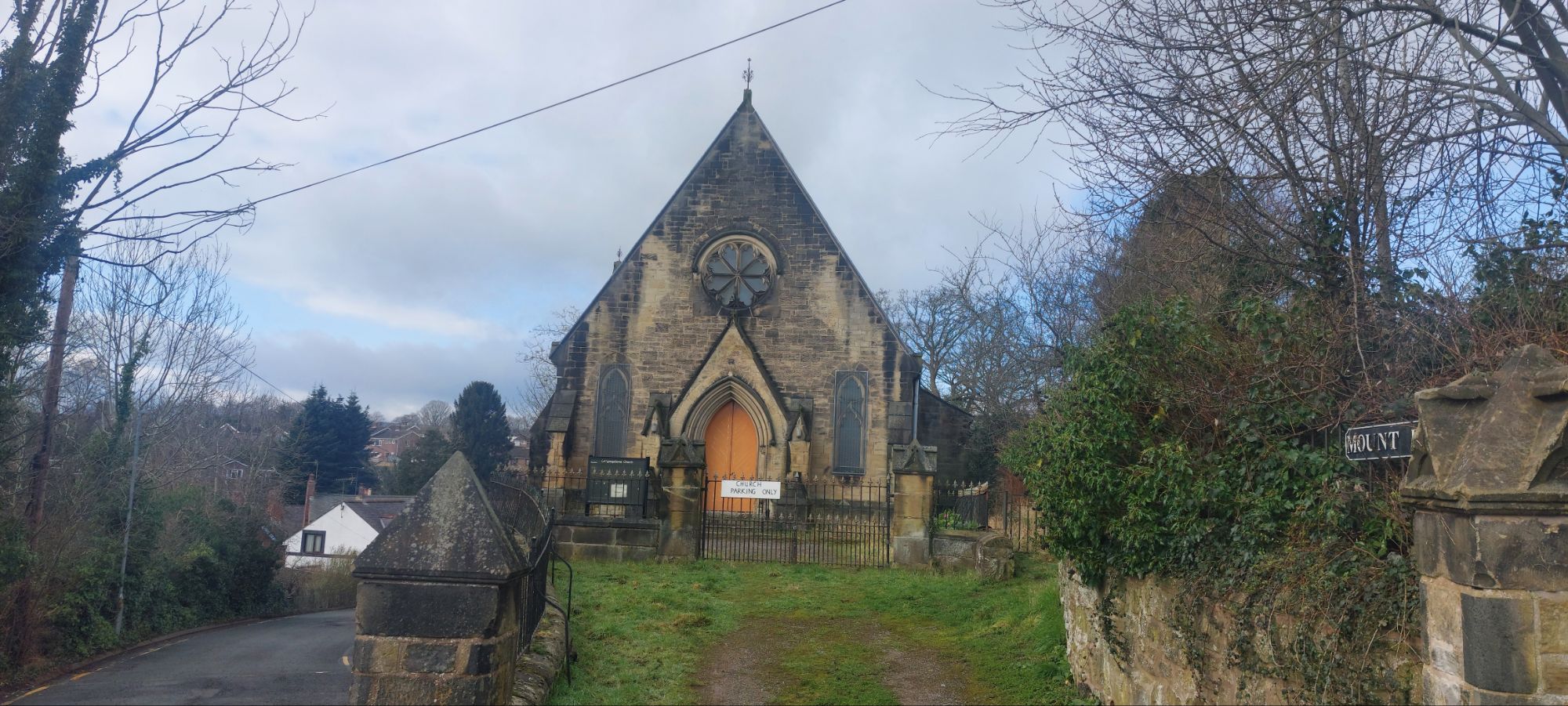
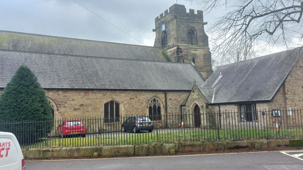
Walking towards Pont Adam is Mount Pleasant Congregational Church which was built in 1848.

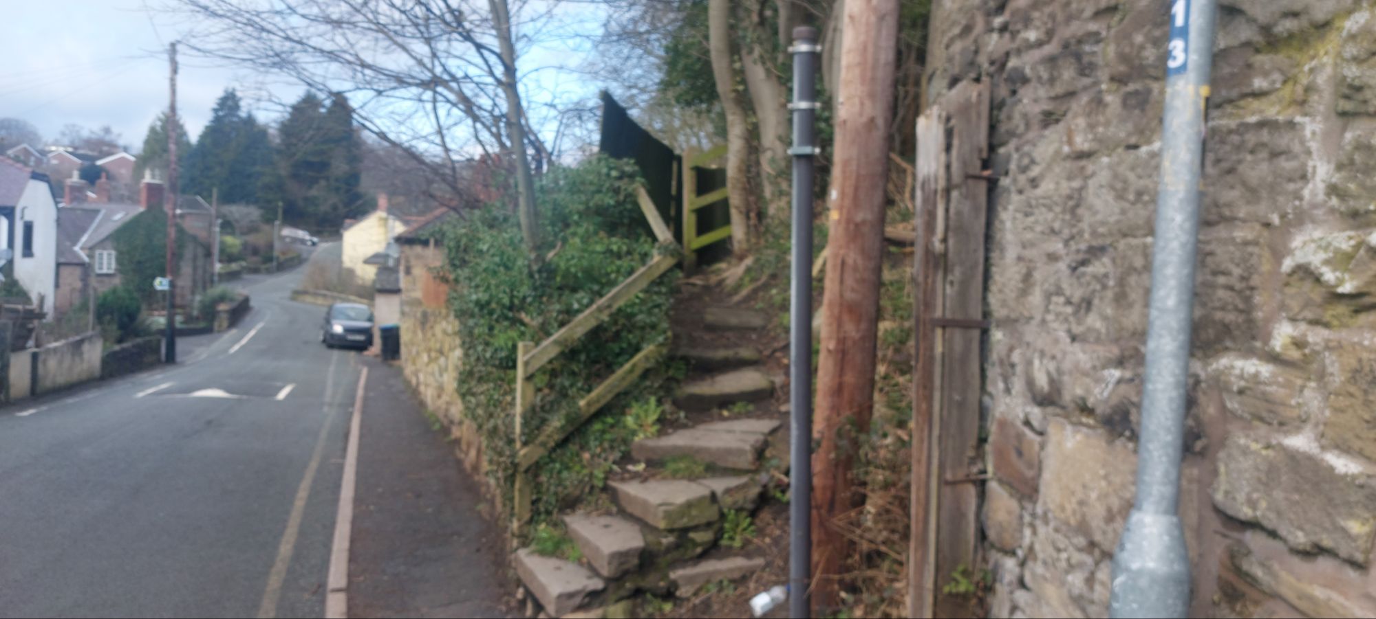
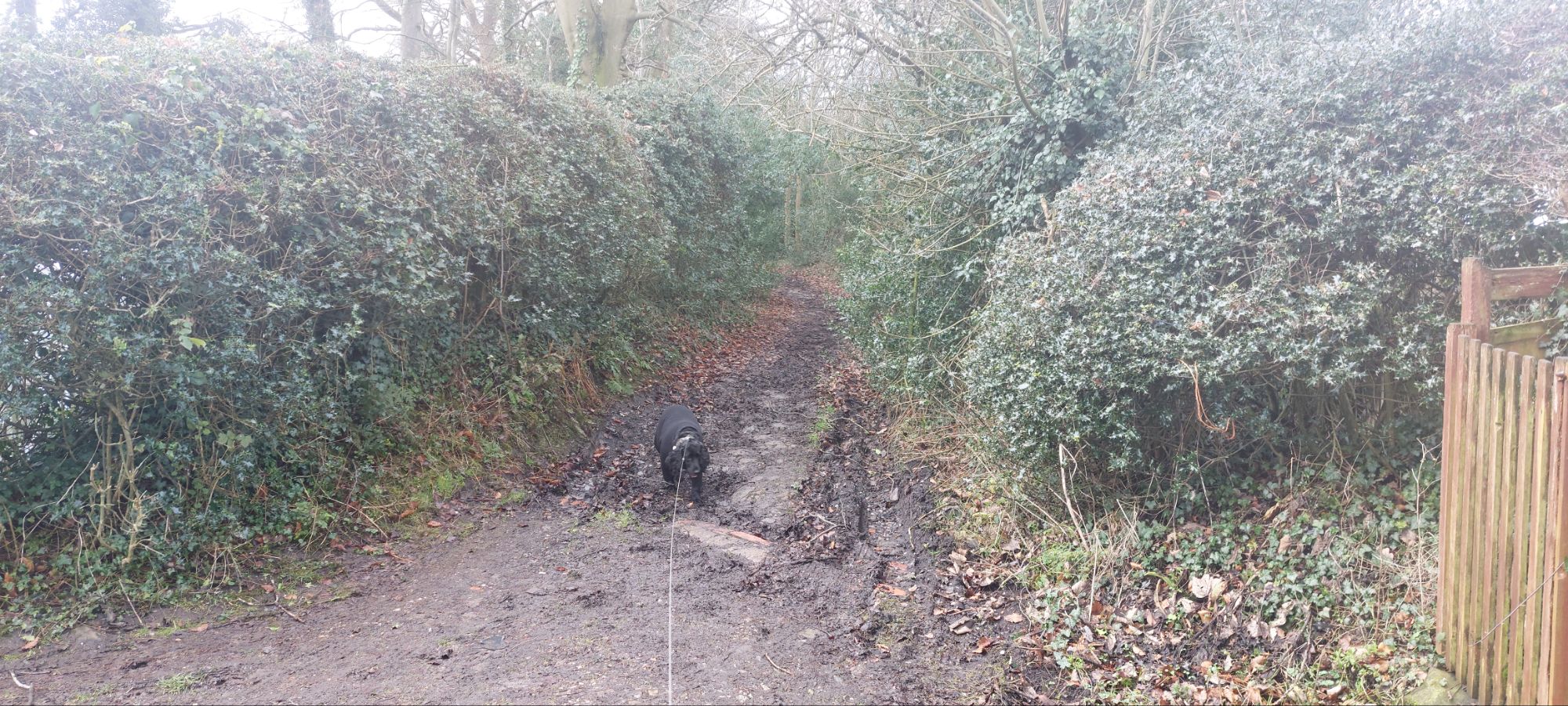
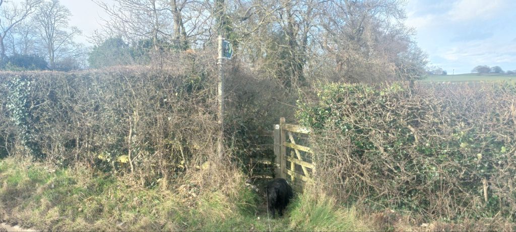
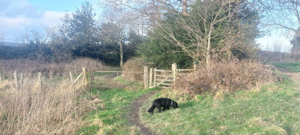
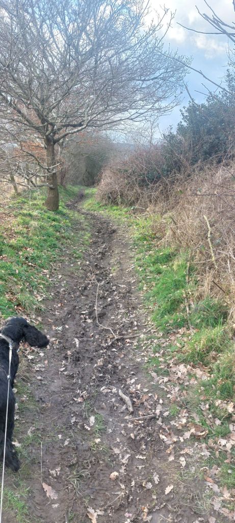
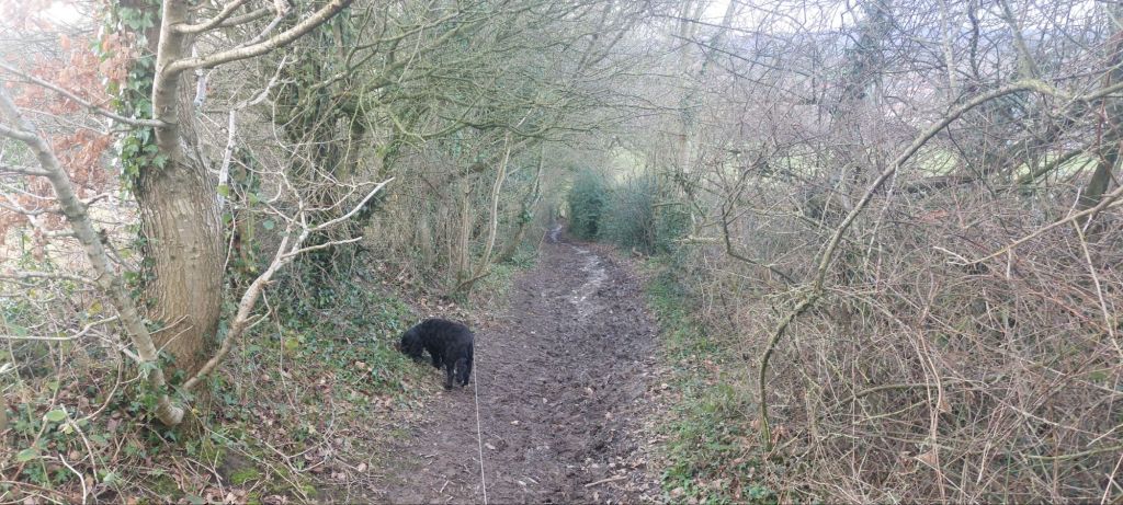
The trail took us up some stone steps opposite, the now closed and redidential, Great Western inn. The narrow path weaves through a canopy of bushes and along a stretch of boardwalk, to a kissing gate.

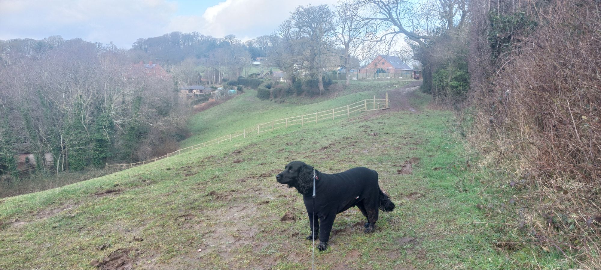
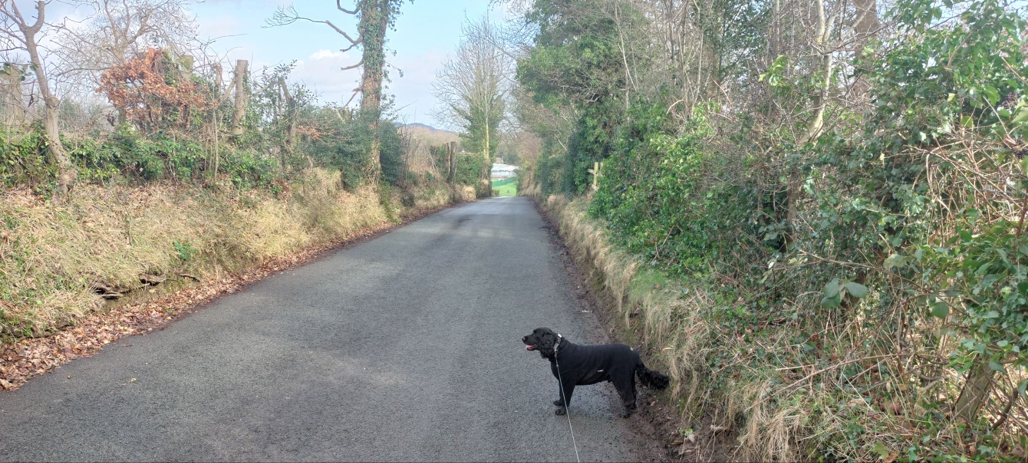
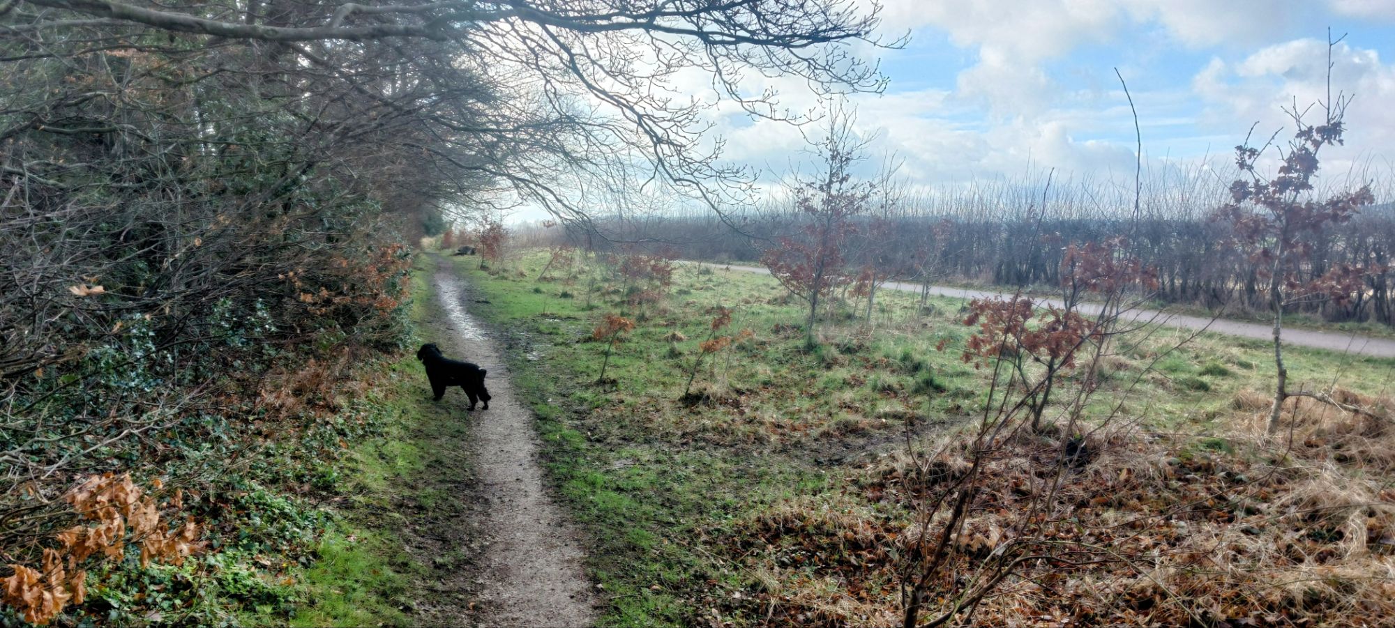
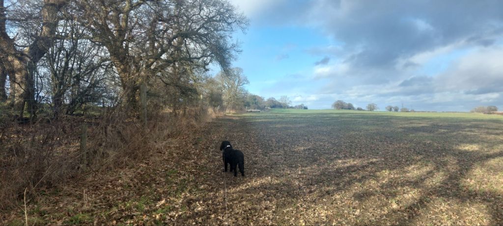
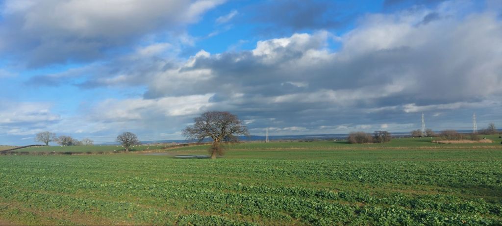
On the other side of the gate is a grassy field on a hillside. The field is used by horses from Tatham Farm on occasions. The path follows the hedgerow on the right.
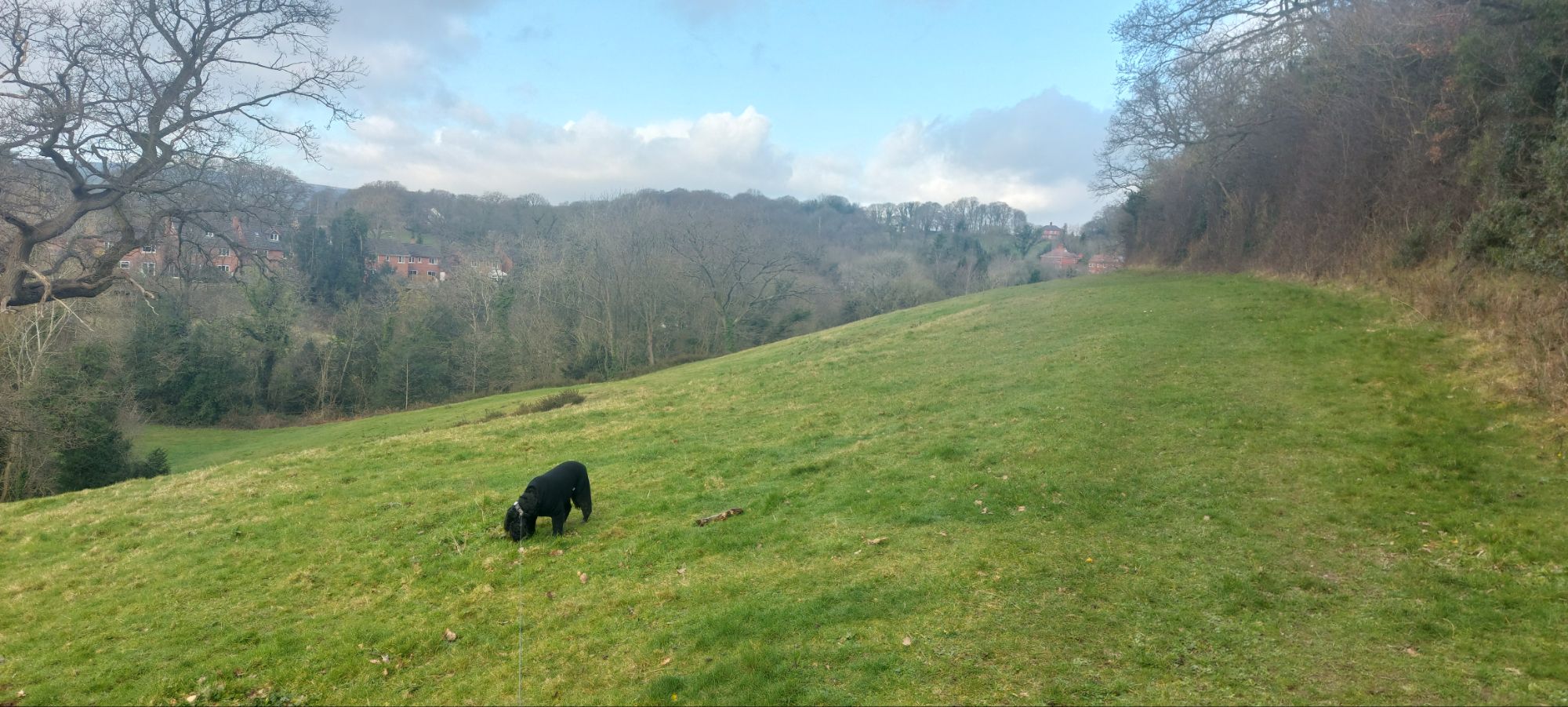
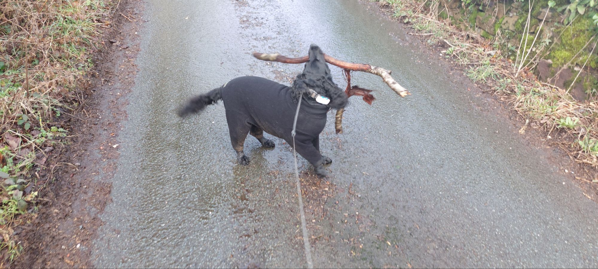
I received a telling off when I was investigating what appeared to be a horses nest. Well, there seemed to be a lot of horse eggs in a pile!

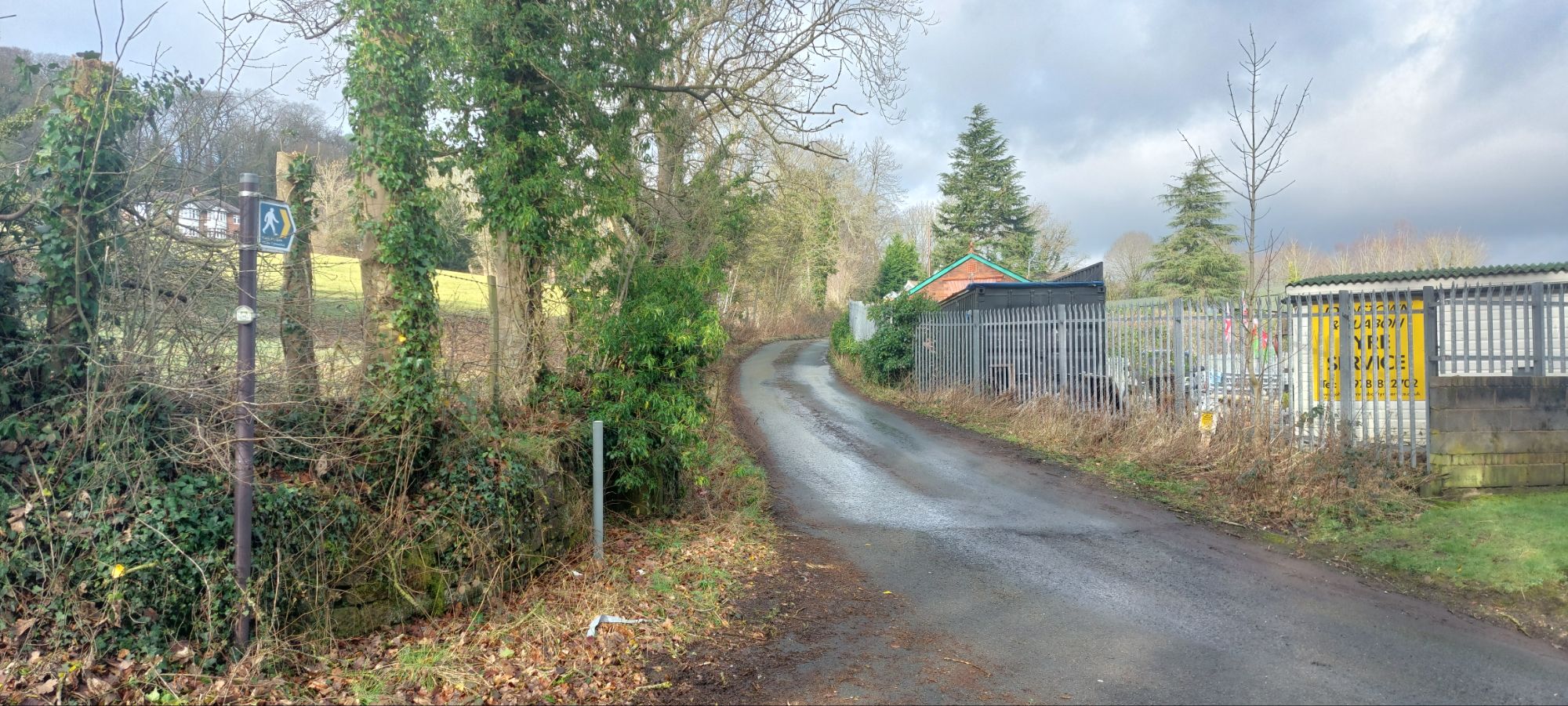
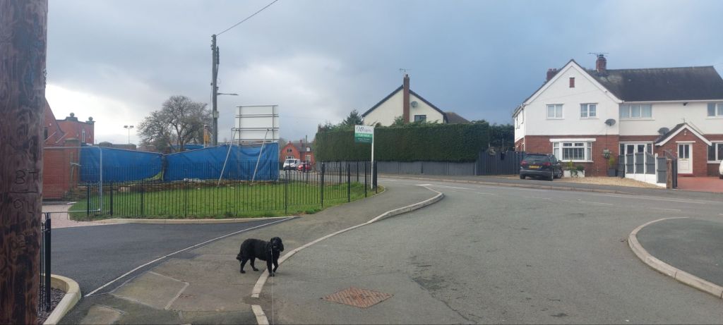
The path led slightly downhill to a gate in the corner of the field in between a house and the farm, After passing along a narrow footpath we reached another gate which led to Tatham Road.
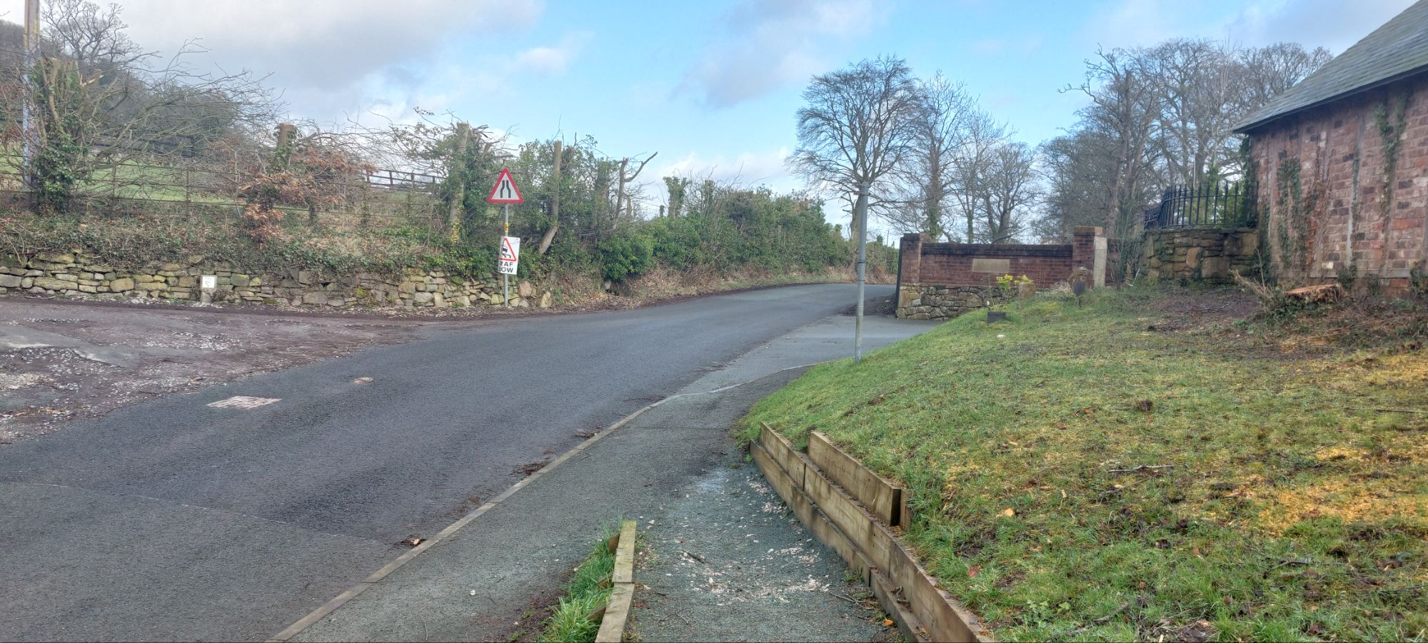
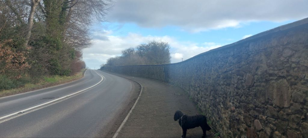
We turned right and headed along the road.
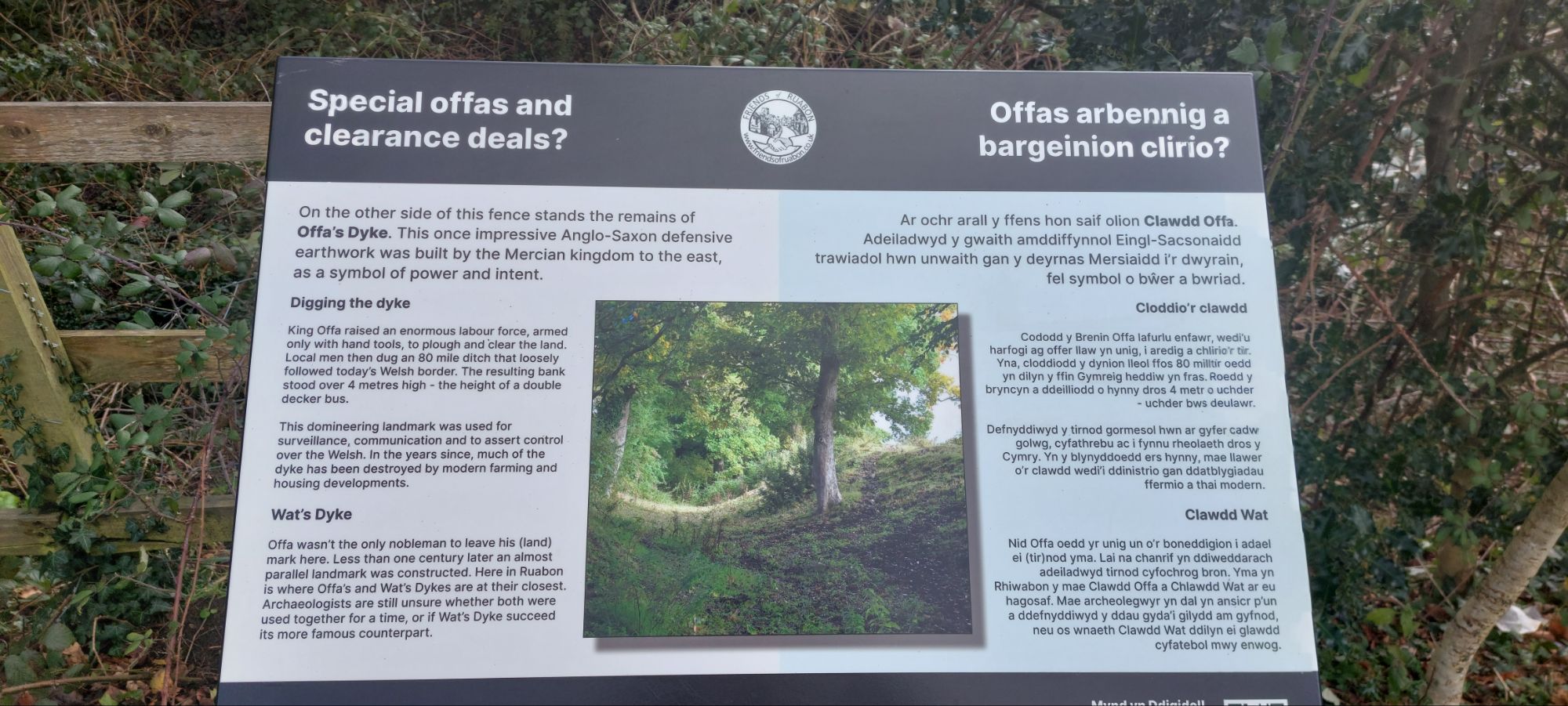
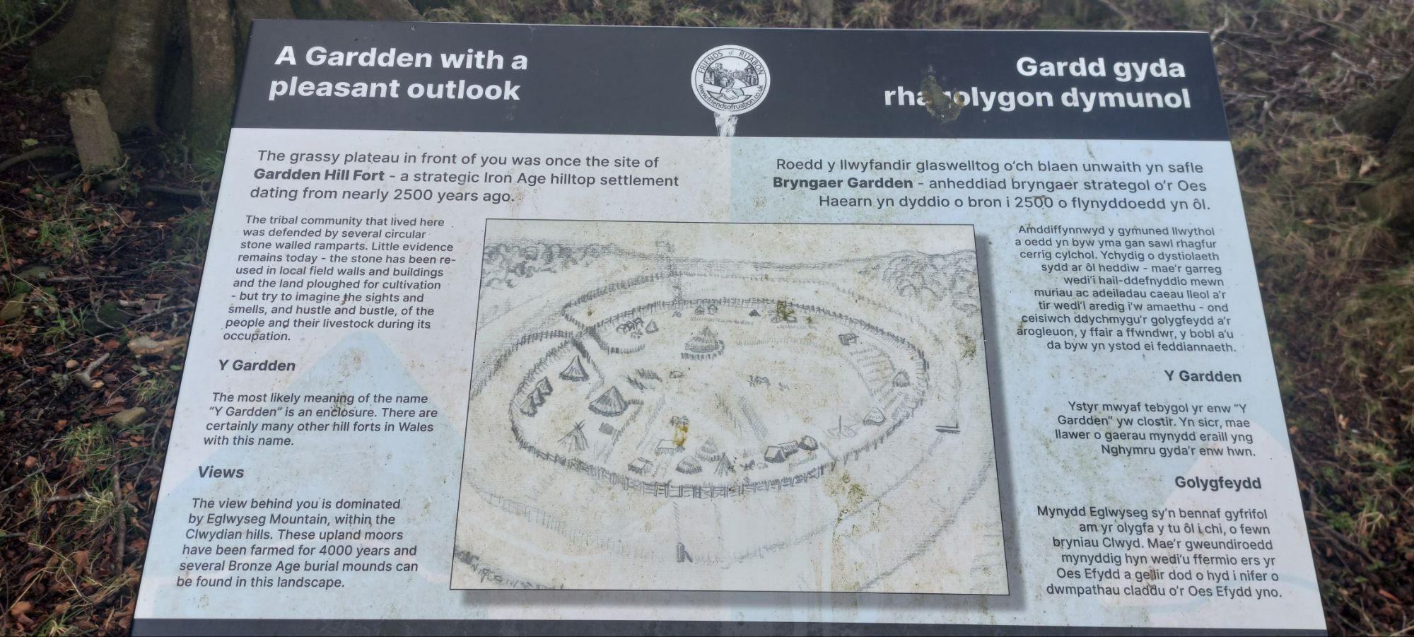
On the right there is an information board providing a potted history of Offa’s Dyke which runs parallel with the road. The dyke roughly divided Wales and England and was allegedly erected by King Offa of Mercia in the 8th century. A lot of its history is disputed however.

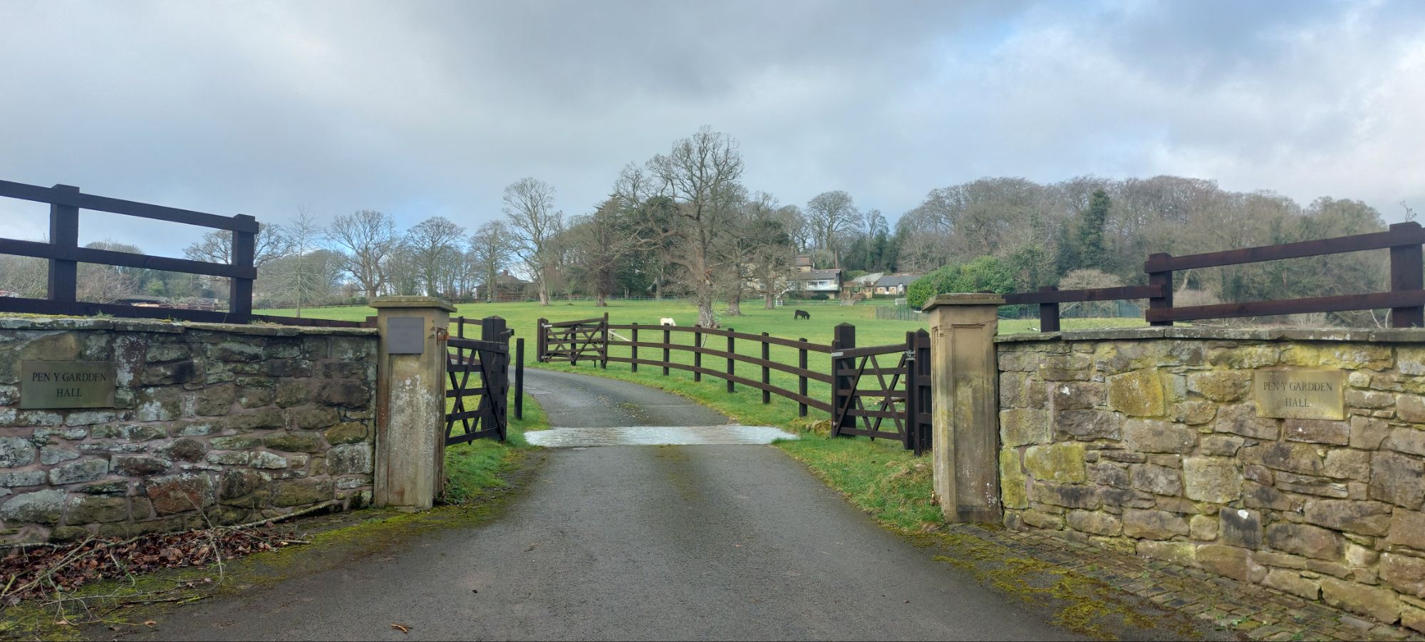
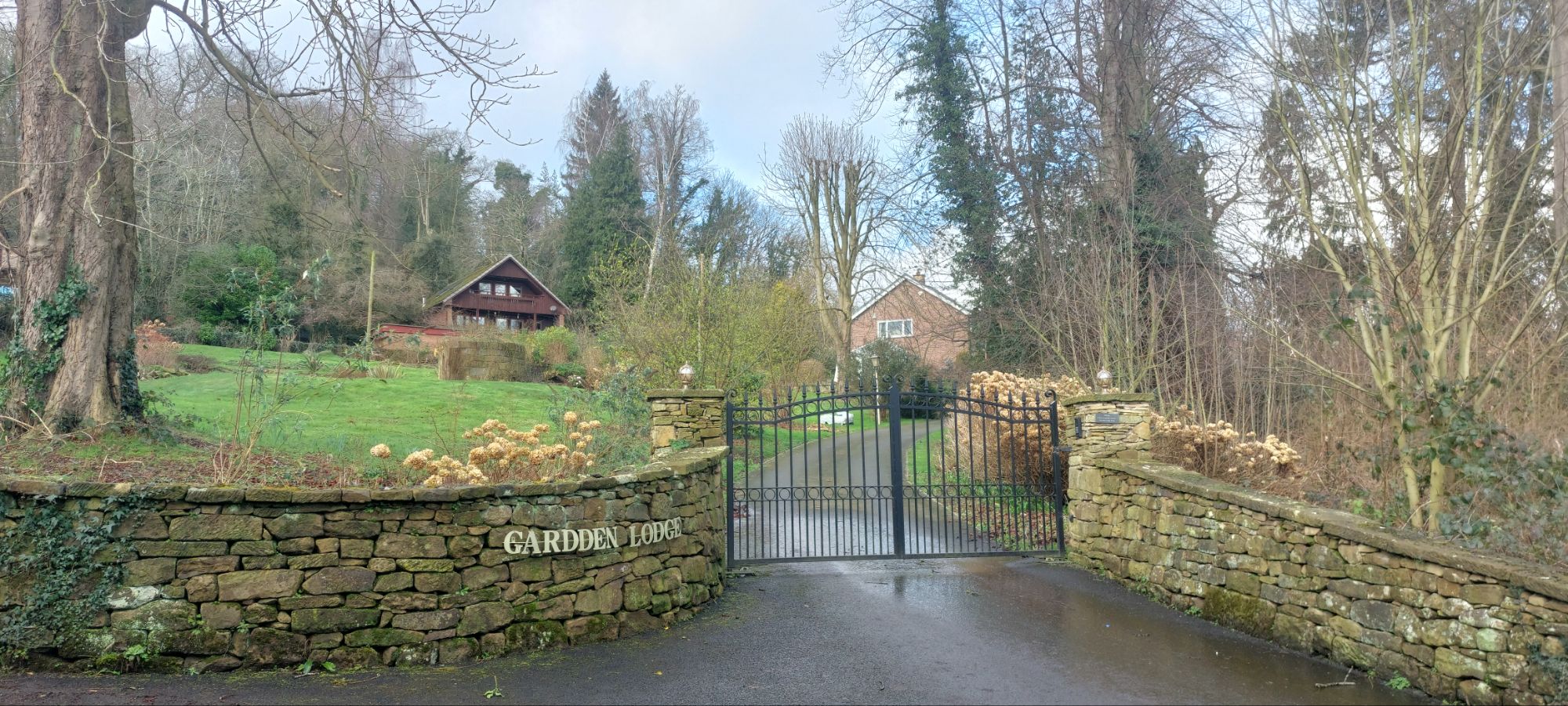
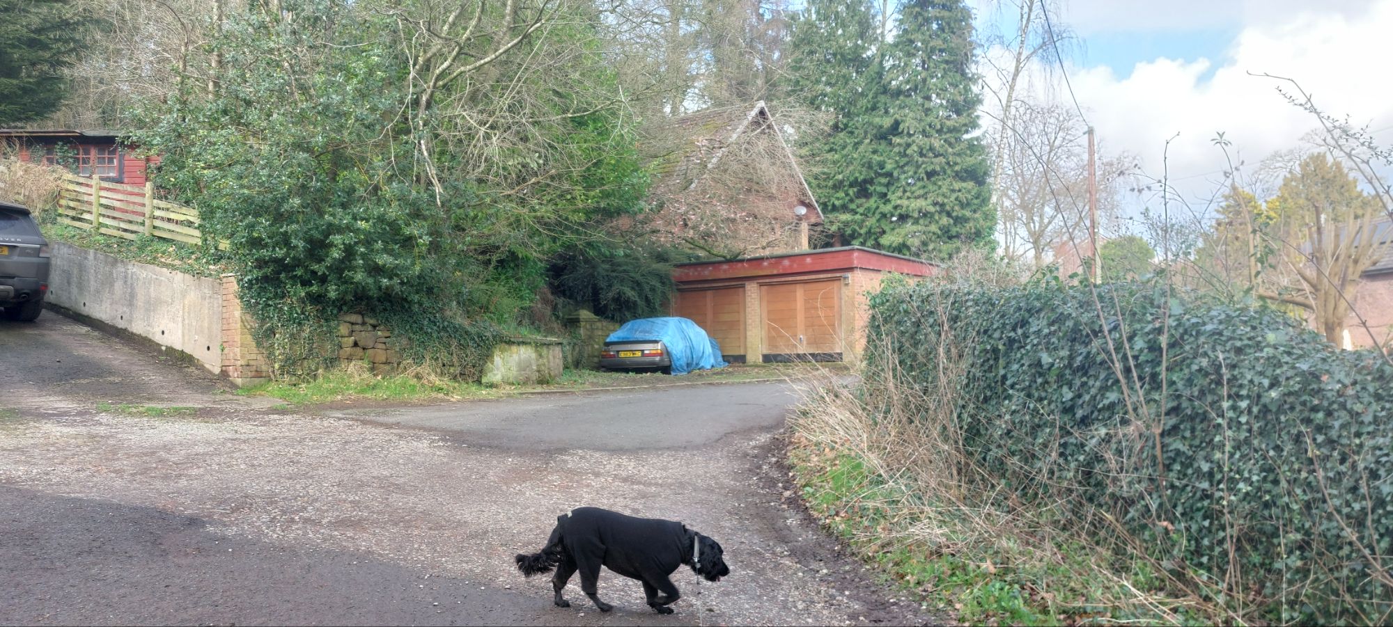
On the left, as we walked down the road, we passed the entrance to Gardden Hall, with the hall partially hidden by trees.