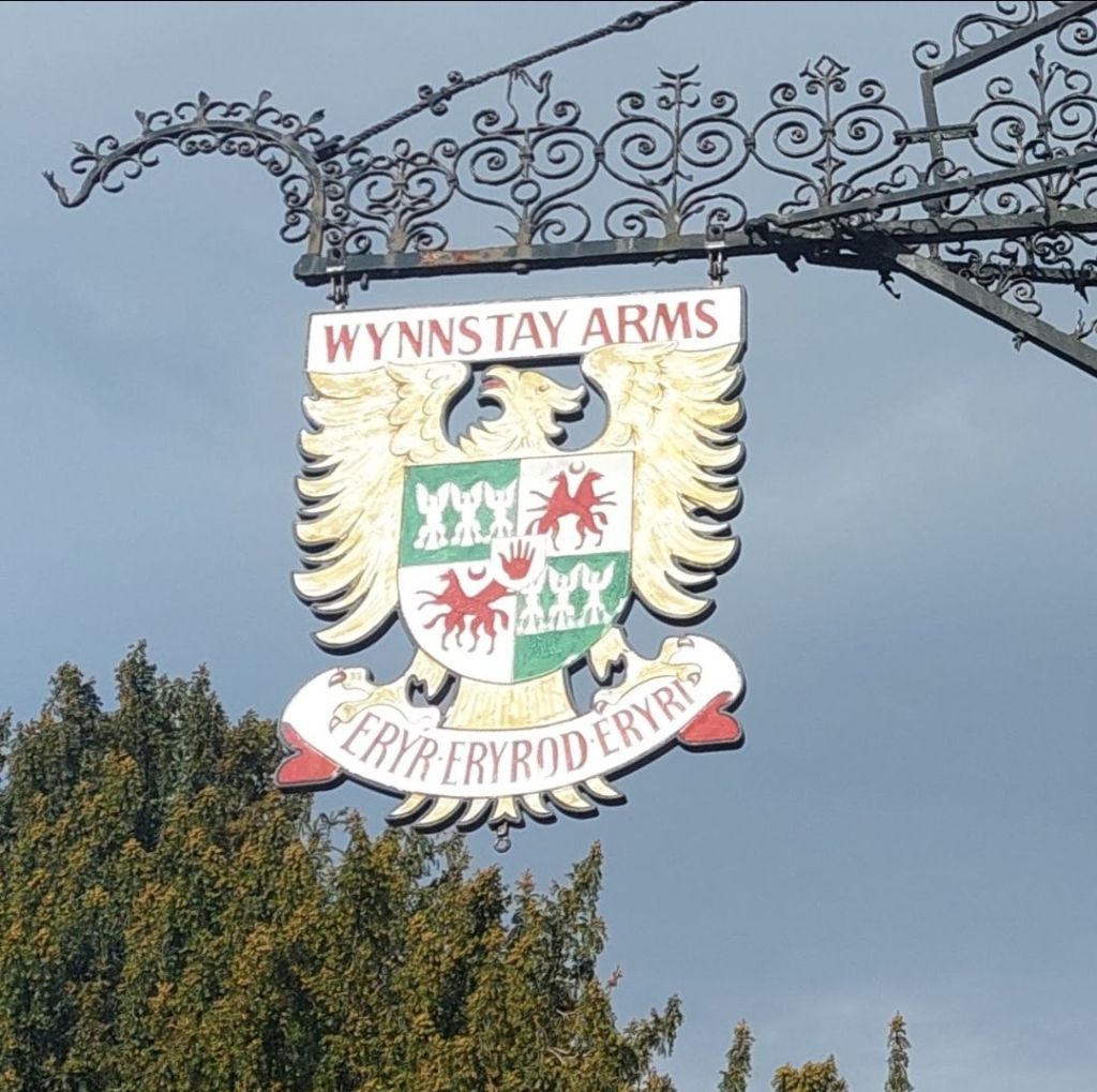
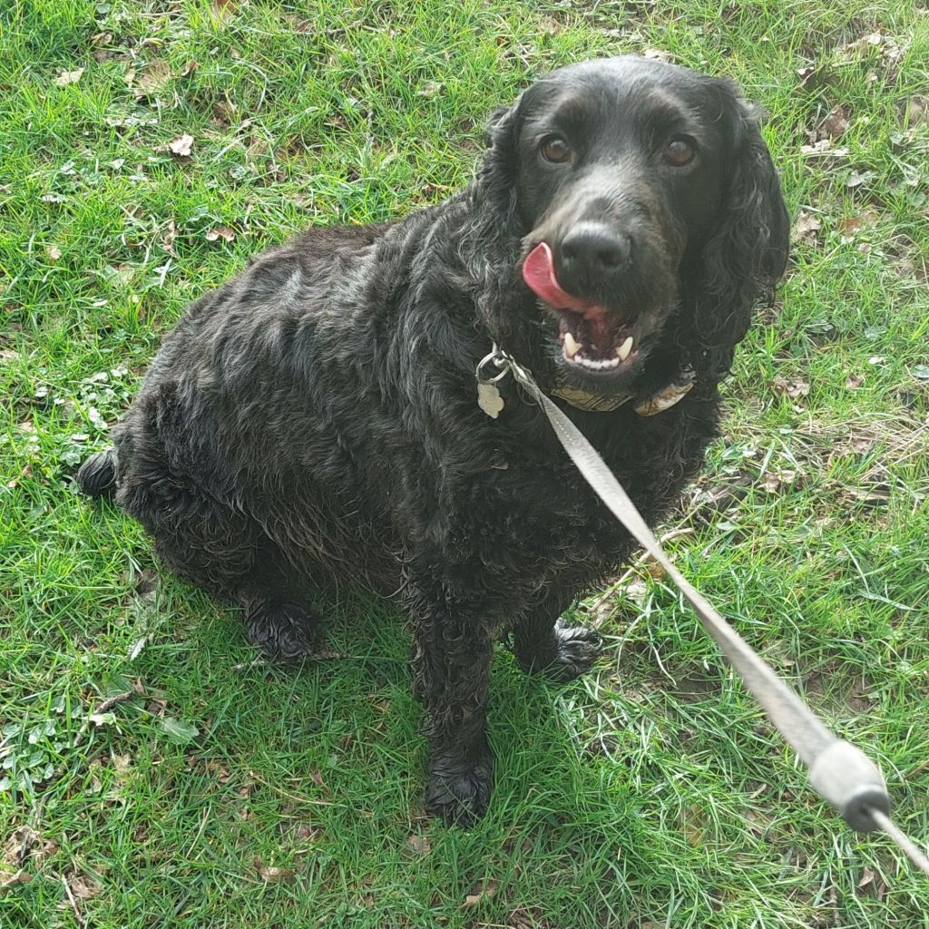
Hello again people and pooches. It’s Joe the Cocker here reporting on a recent hike that I did with my human. He found this particular hike in an online leaflet that is produced by the Wynnstay Arms in Ruabon. It is described as a moderate standard walk of 6.5 miles that should take between 3 and 3.5 hours. Advice is given to warn of ‘multiple stiles; paths may be muddy, or under crops or overgrown in places (long trousers recommended)’. As I am a 4-legged canine, my human made me wear my waterproof fleece while he wore his hiking trousers. The area had experienced a lot of rain lately, but the forecast for the day was for a mix of clouds and sunshine with afternoon showers.
So, off we went armed with a paper map, Ordnance Survey map online, and the on-line leaflet (with a map and step by step description of the walk). Although the area is beautiful and fascinating, the experience was not what we expected. My human spoke to the manager of the Wynnstay after the walk. Please read on if you would like to hear our view of the hike!!
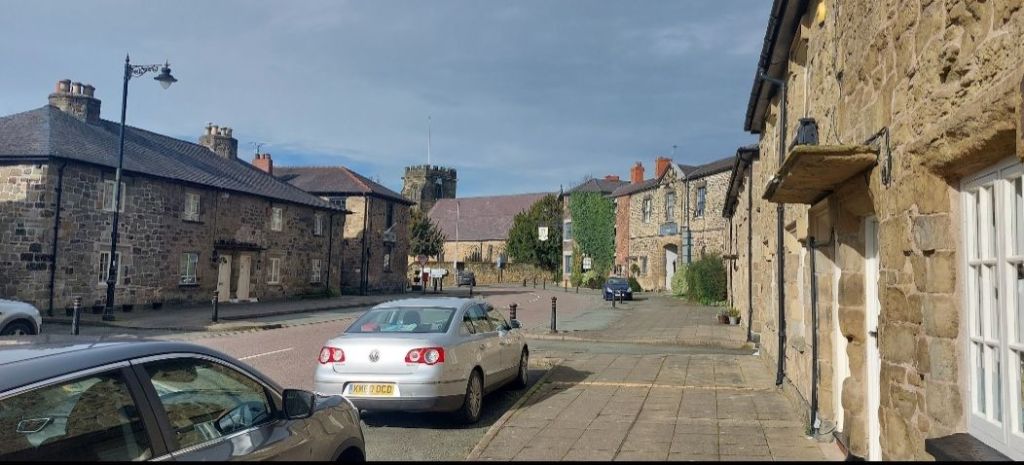
We set off along Park Street, passing the Con’s Club, the two rows of Grade ll Listed cottages, and the Wynnstay Arch.
I was leading the way as I was excited to get into the countryside.
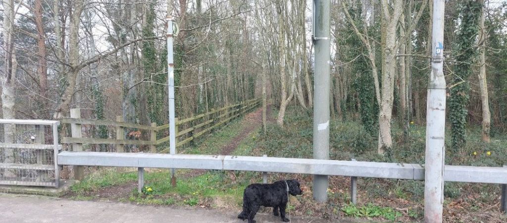
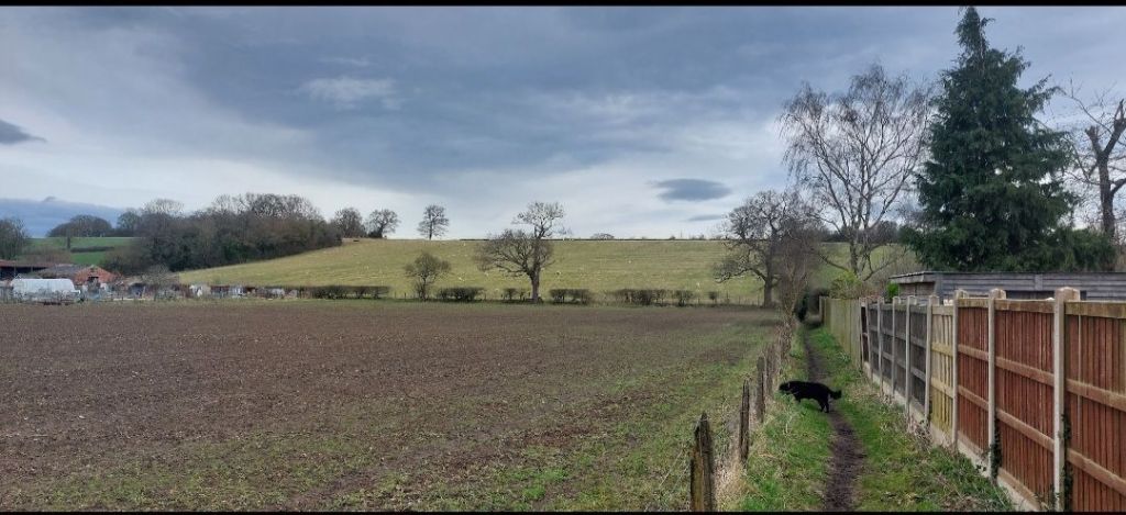
Immediately after crossing the bridge over the A483, we turned left to walk along the footpath that runs above the noisy dual-carriageway.
We followed the narrow path at the rear of the houses gardens.
My human is usually complaining when we walk along this path as it is often overgrown with nettles, and he insists on wearing shorts for most of the year. Fortunately, for him, it wasn’t nettle season. Otherwise, all I would be hearing was ‘Joe, slow down. Oooh, ahh, these nettles are a nightmare!’ Such a wimp!

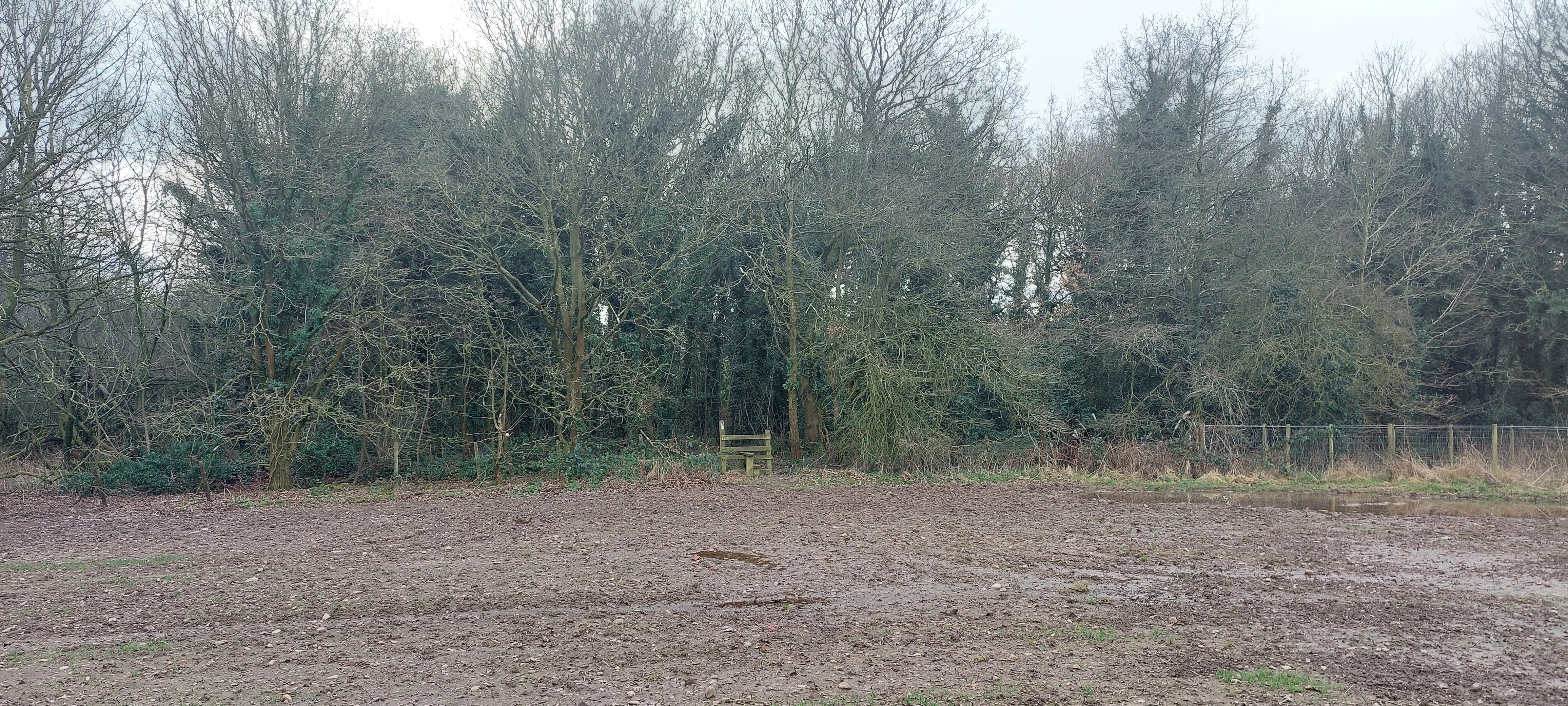
At the end of the path, we reached a wooden gate that led into a field. We continued uphill along the left of the field as my human was slipped a few times in the first of the day’s mud!
I didn’t think that it was slippery, but the big feller was sliding around like Bambi on ice!

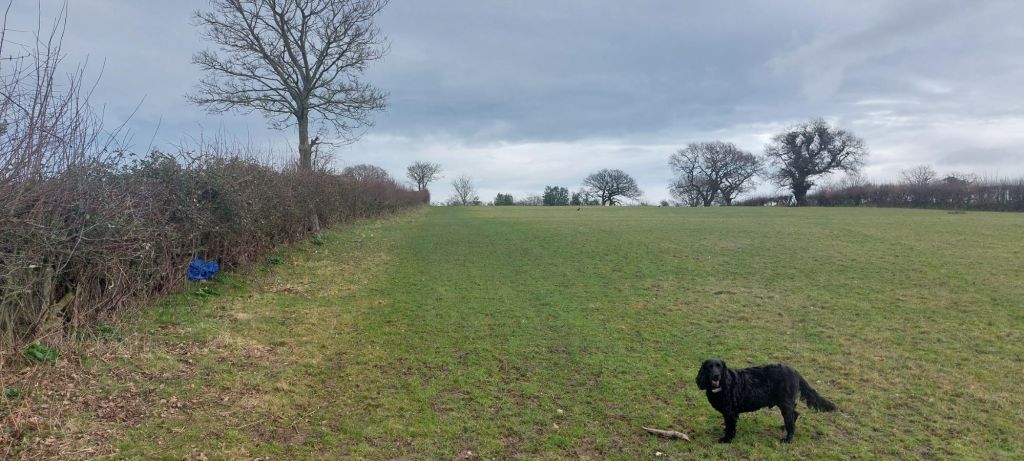
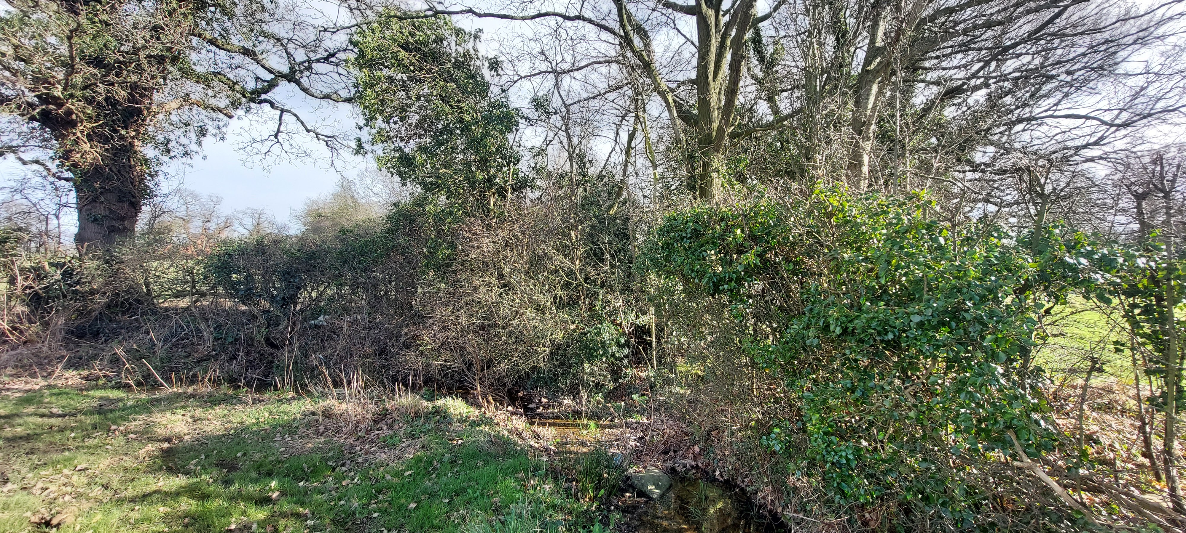
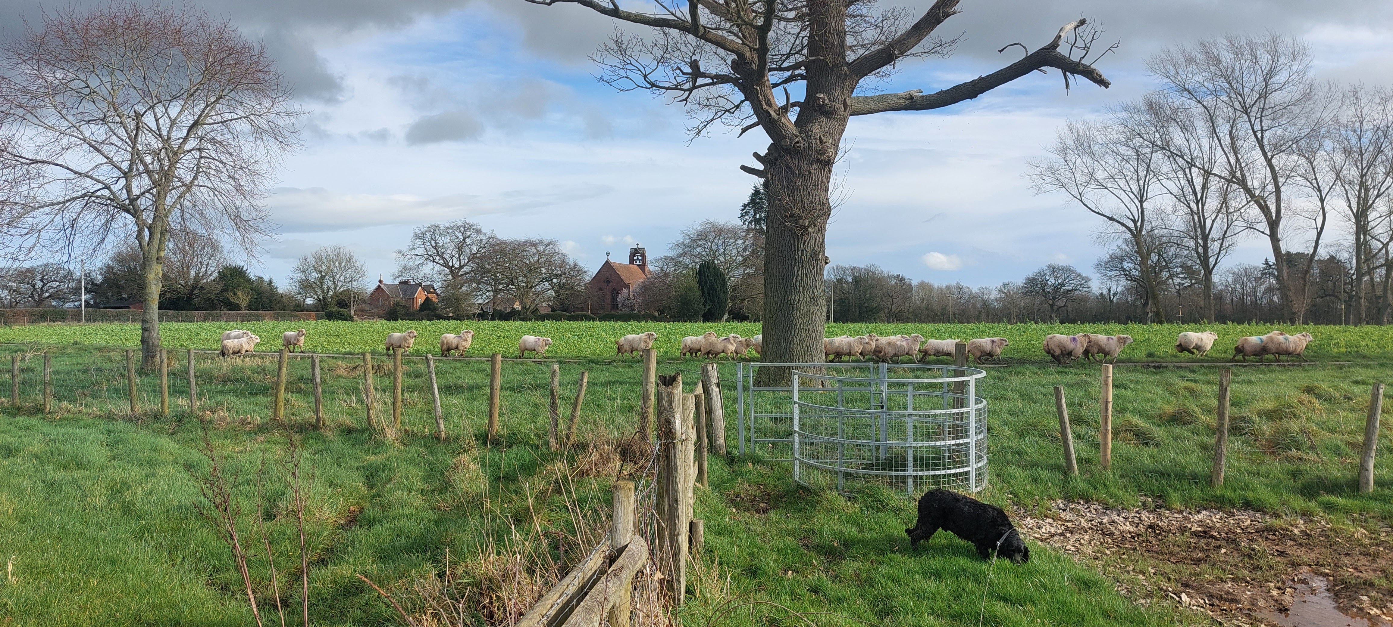
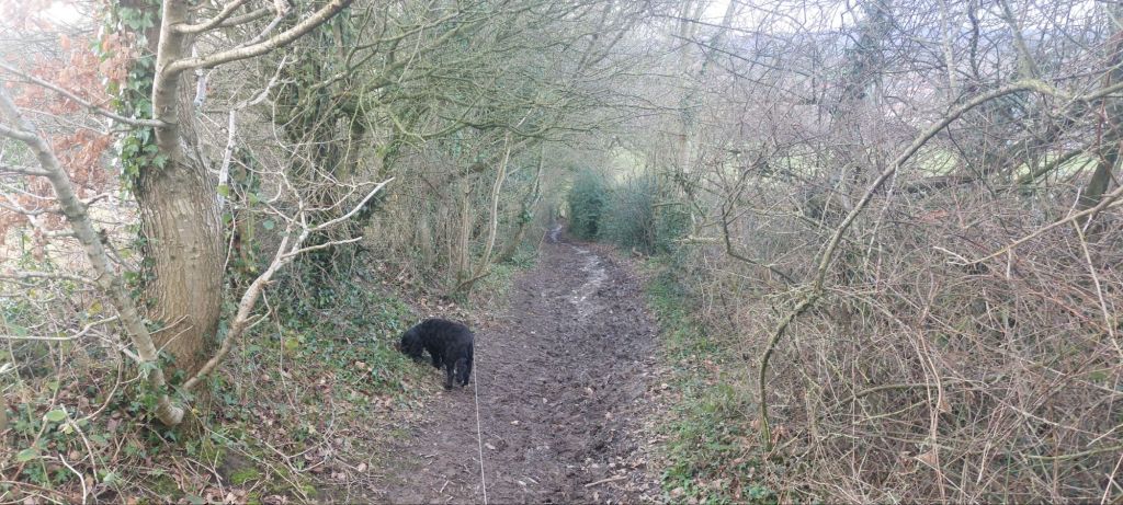
At the top left of the field we passed through an old gate before we turned right onto Wat’s Dyke. The earthwork runs for 40 miles from Basingwork Abbey to Maesbury and probably dates from the 9th century.
The path was overgrown along the dyke but, fortunately, not as bad as in the summer months. Mr. Clumsy did manage to trip a few times, which I found amusing until I got snagged in brambles. I had to be rescued by my hero! How embarrassing that little escapade was.
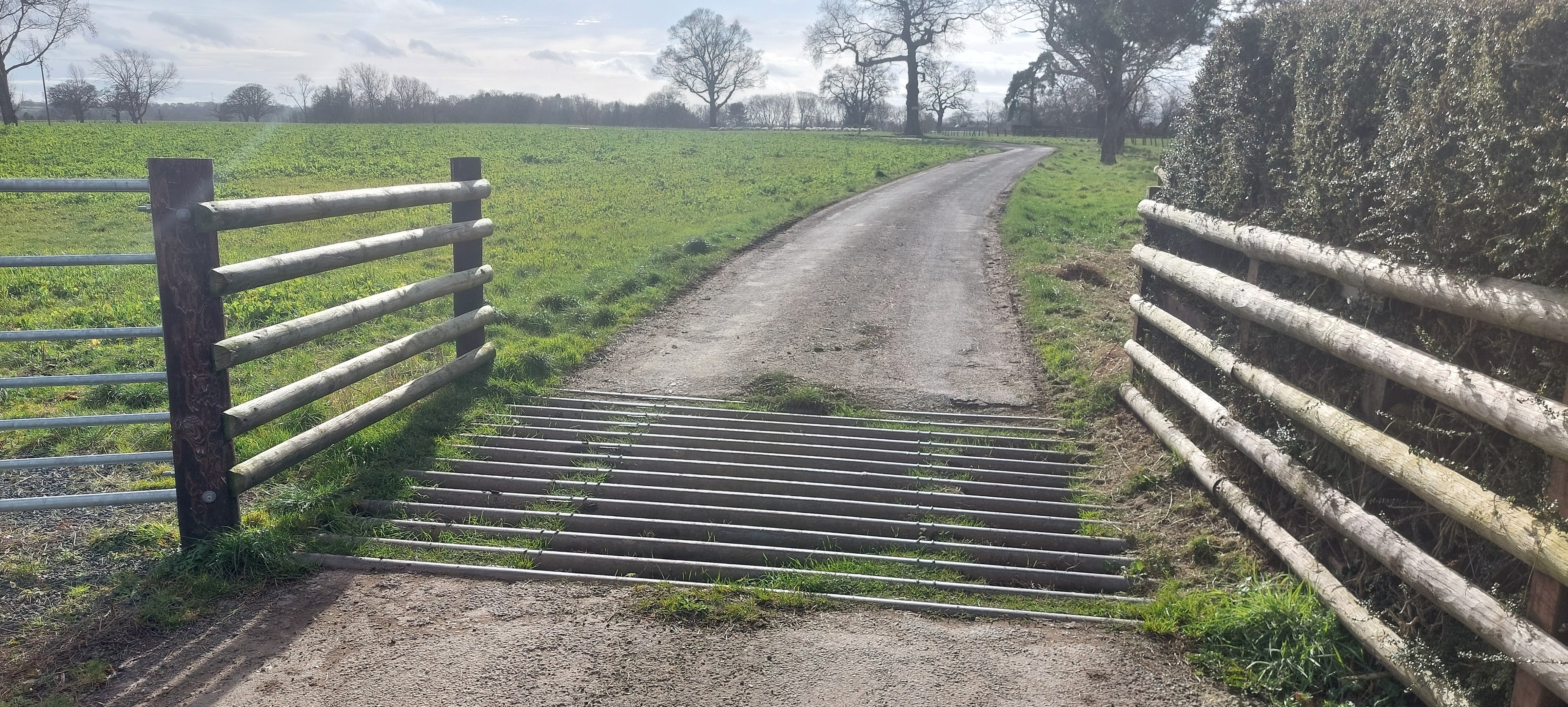
The exit from the field was straight ahead in the right corner after a muddy area that is marked as a sluice on the OS map. The gate led directly onto the A539. We crossed the road to turn left along the stone wall that marks the boundary of the Wynnstay Estate.

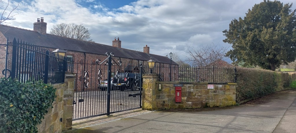
After a few hundred yards and a few hundred sniffs, we reached the entrance to Wynnstay Hall Estate.
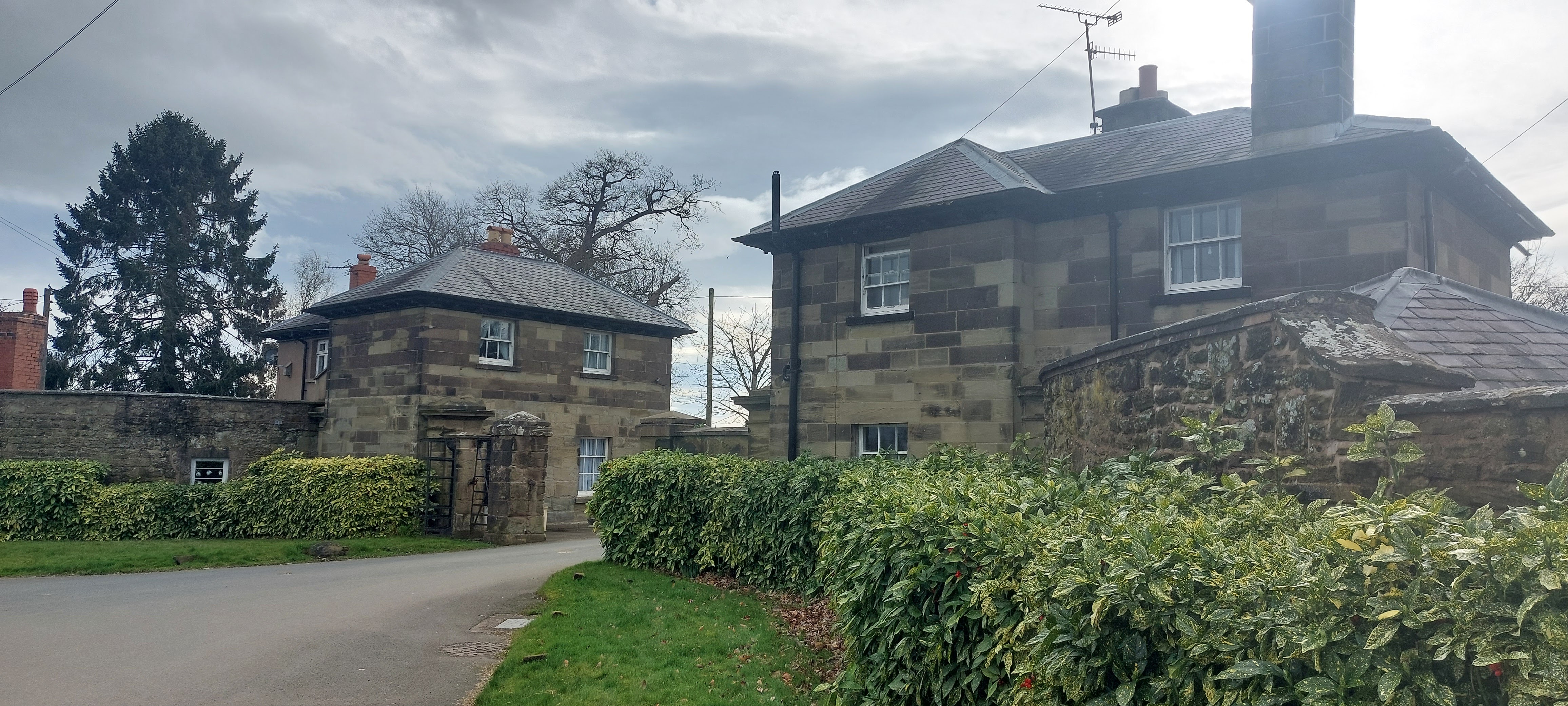
We walked between the lodge houses at the entrance to the parkland.
On the left after 50 yards, there should be a waymark pointing across the field to show the Right of Way. The waymark is missing, and the path is far from obvious. Luckily, we have walked the ‘path’ when it has been obvious due to it passing through 8 foot high maize. Rather than walk through the seedlings, we weaved our way across the field by following tractor tracks.
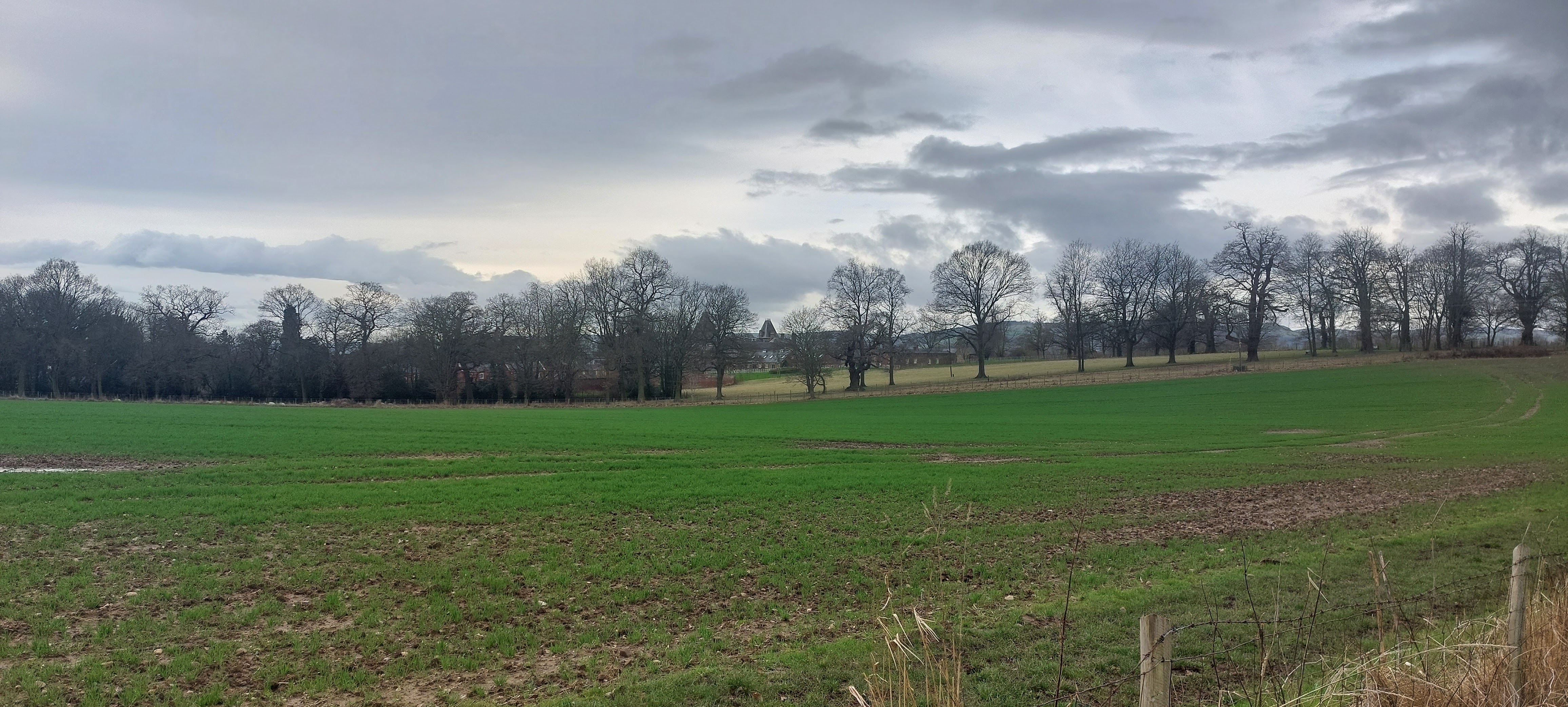
As we crossed the fields, we glimpsed Wynnstay Hall, the original home of the Wynn family. The hall is the family seat of the Williams-Wynn baronets.
The big feller had to flex his muscles as he lifted me over a stile. I was unceremoniously dumped on the other side of the fence. Thanks, dad!

A waymark pointed us in the general direction of the footpath, which led us to a very muddy section in the corner of the field.
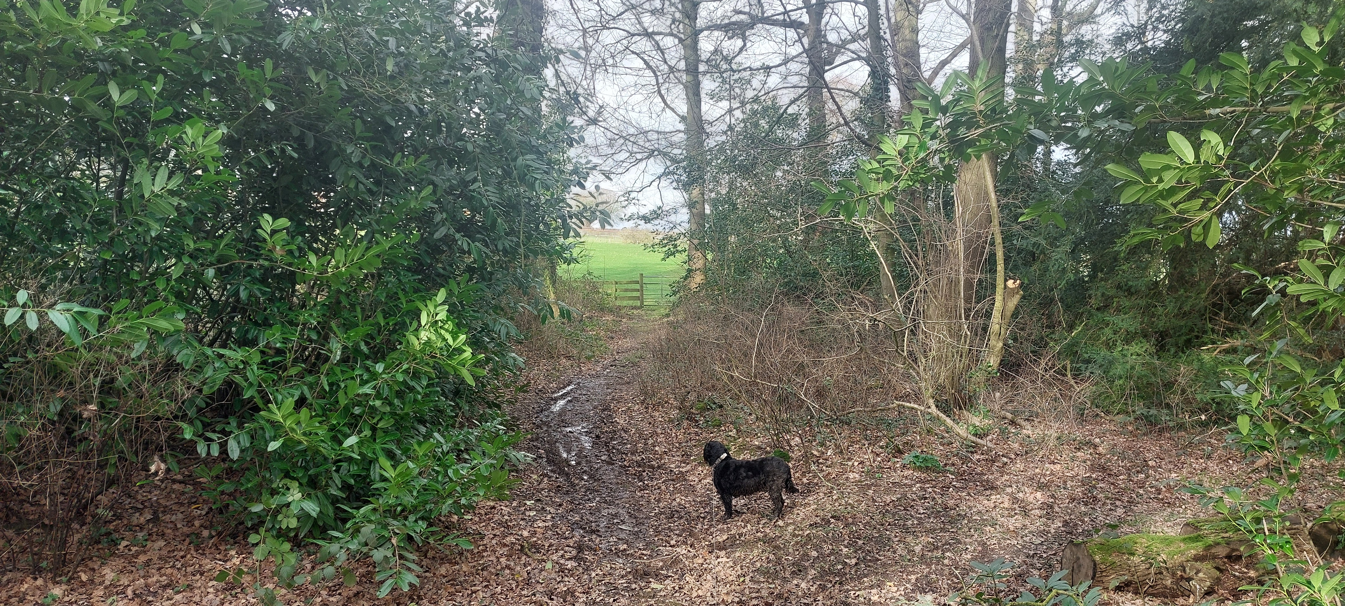
I had to be hauled over another stile before we walked through a short section of woodland. I loved it in the woods as there seemed to be a squirrel every few yards. I was spoilt for choice in which one to chase. Note to self: learn how to climb trees!!!

The path led us to some dwellings and to a rough track.
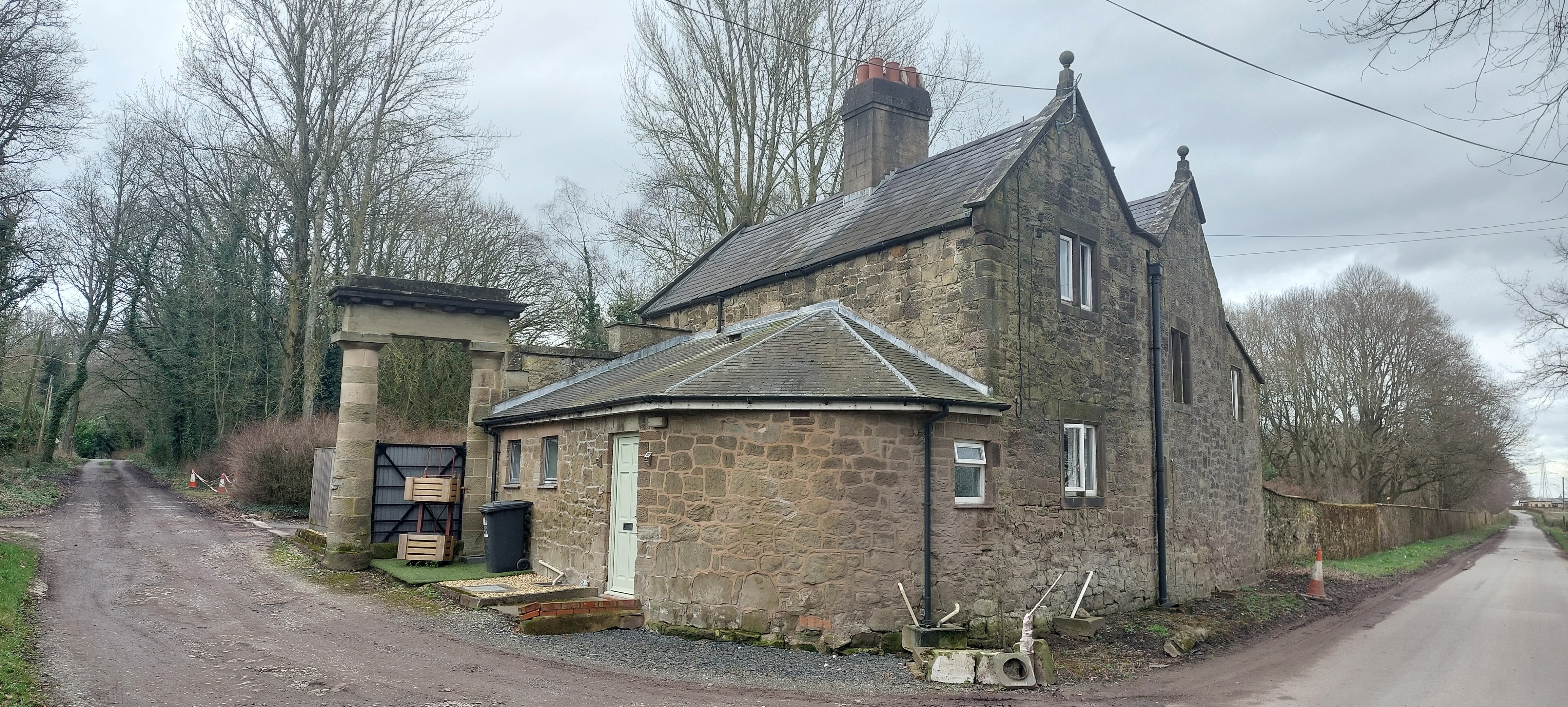
After a few yards, we turned right onto a narrow road by another lodge house.

The lane took us to a left turn just after Keeper’s House.
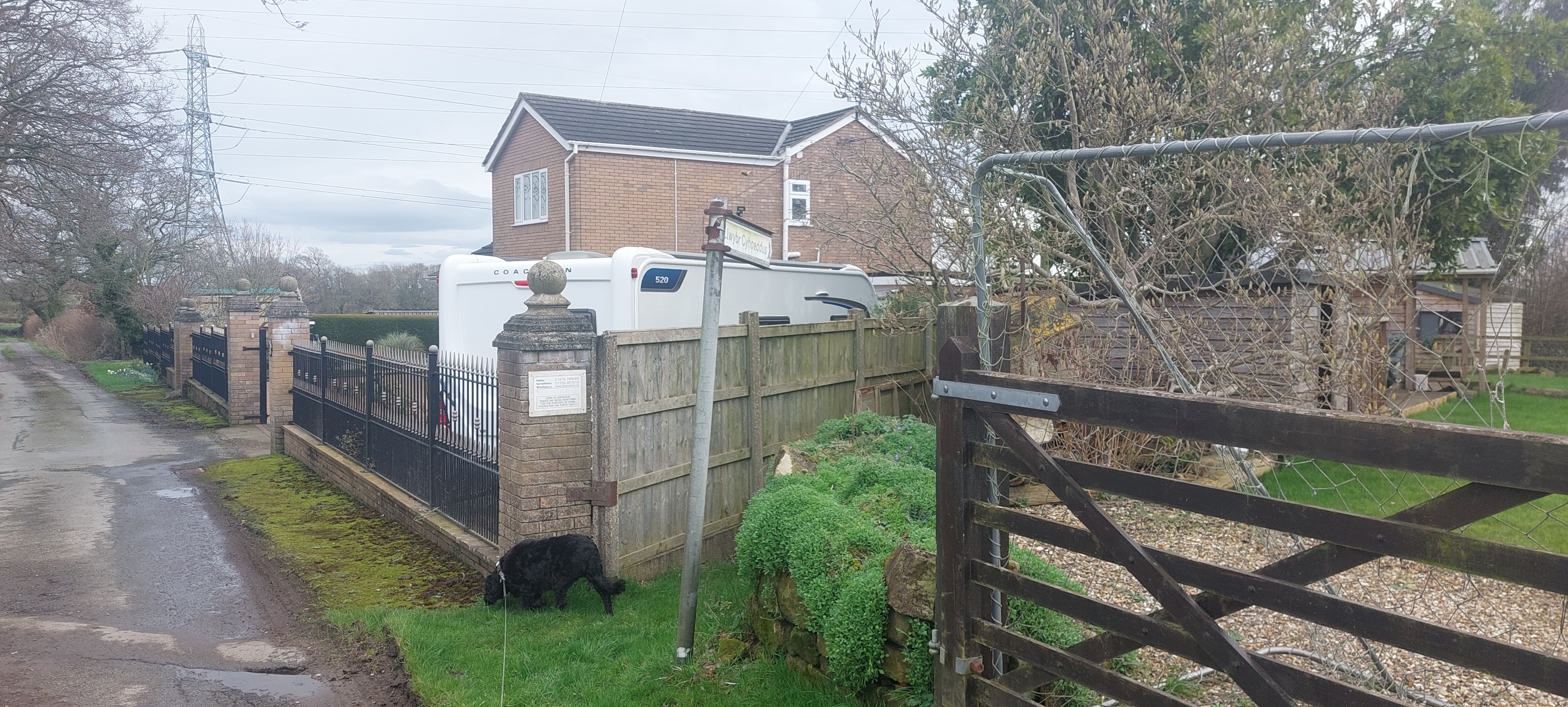
The track took us through the small hamlet of Rhosymadoc and to a Public Footpath sign pointing along a narrow path between houses. At the end of the gardens, we entered a field. The field was incredibly boggy and difficult, even for me, to find a way through it. In the right corner of the field, we found a gate that led to a farm track heading left.

The track was very muddy and full of liquid cow muck. This was a taster (not literally) of what was to come later! Panic ensued as we walked as dozens of pheasants took flight as they heard us squelching through the mud.
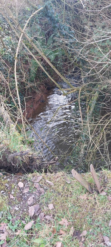
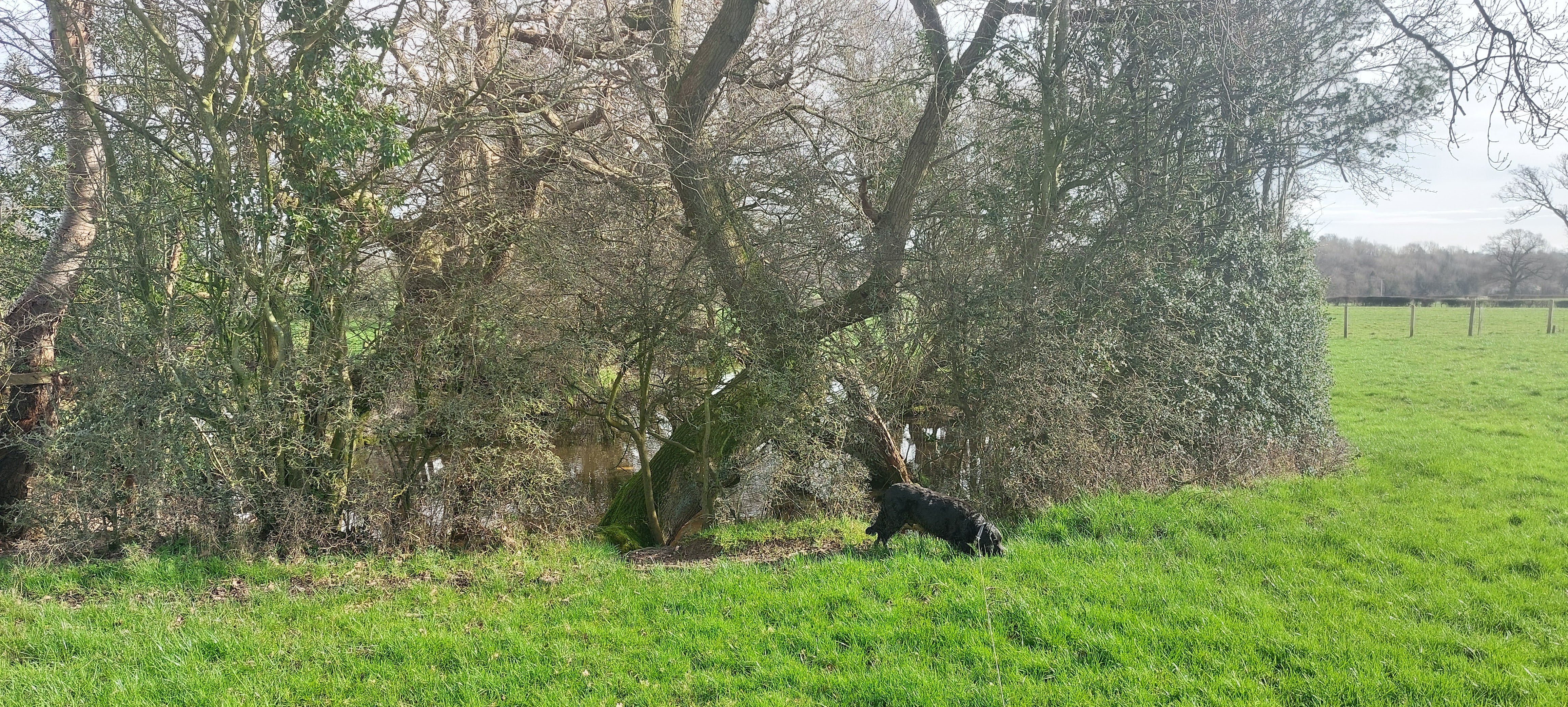
At the end of the track, we passed over an overgrown bridge passing over a stream.

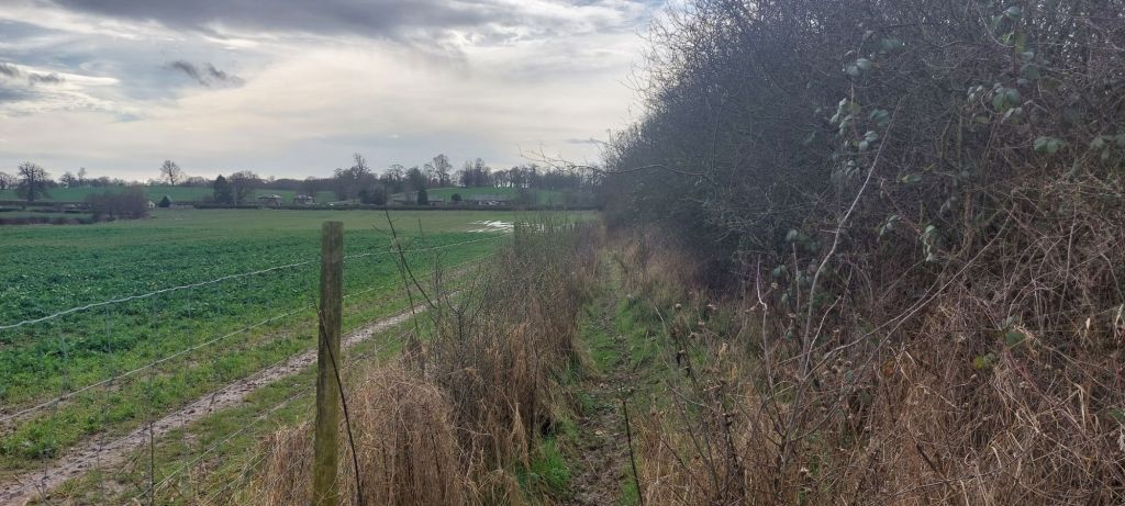
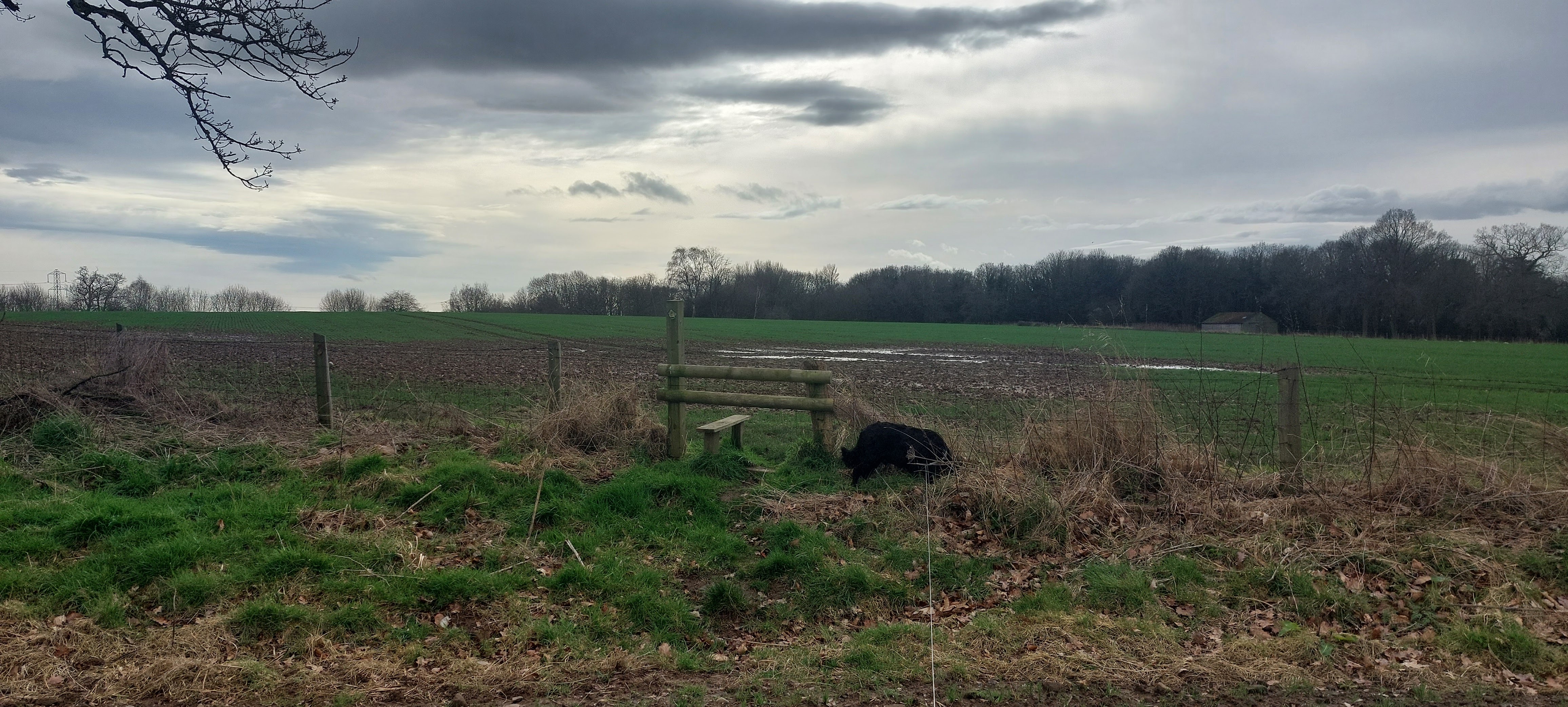
We walked along the left of the field with a pond on our left before we reached what should have been a stile. It had been replaced by a fence that needed to be climbed!!!! On turning right, we walked parallel with Wat’s Dyke.
According to the leaflet, there should be a fingerpost indicating a turn in the path through a gate. No fingerpost!

The post has been removed, and we walked a few yards past the gate before my human realised. We turned back and found the gate, partly hidden by a hedgerow.
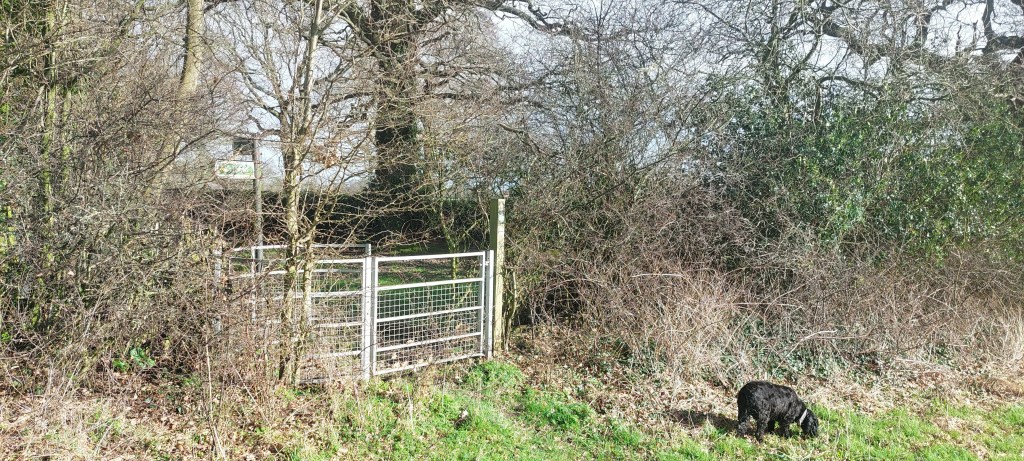
We passed through another aluminium gate and entered a field with a pond on the left.
We kept to the left of the field and close to the ponds.
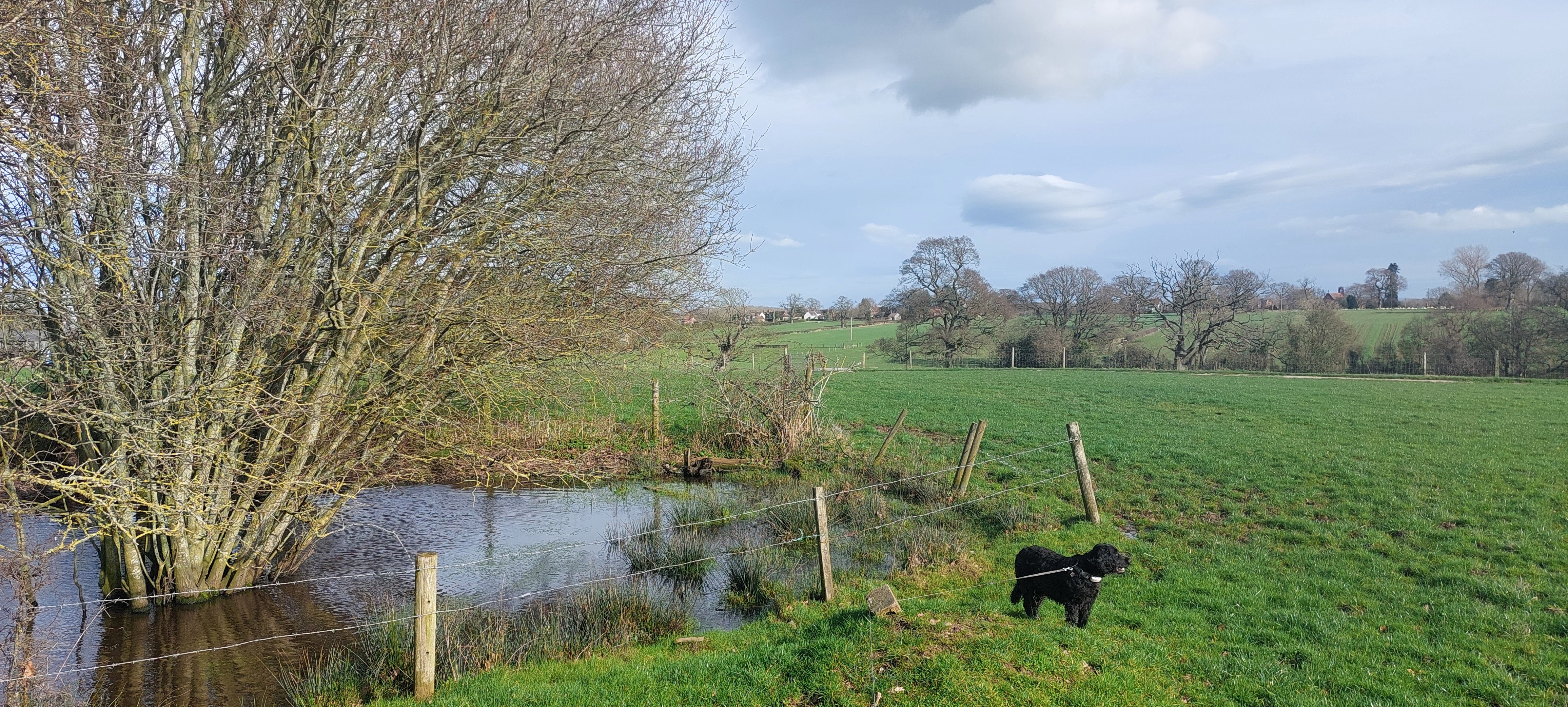
Shortly after the second pond, we entered another field with a concrete farm track crossing it.

We crossed the track, passed through a gate, and headed half-left across the field ahead.

We soon came across a rough track, which we followed and walked through a gate. The route then took us along the left edge of a field until we came to a gate.
The walk followed the left of the field to a surfaced driveway.

The small hamlet of Bryn-Pen-y-lan was just ahead of us.
I walked across the cattle gate at the end of the drive before my human could pick me up to carry me over the obstacle. I think that he underestimates my skill set!
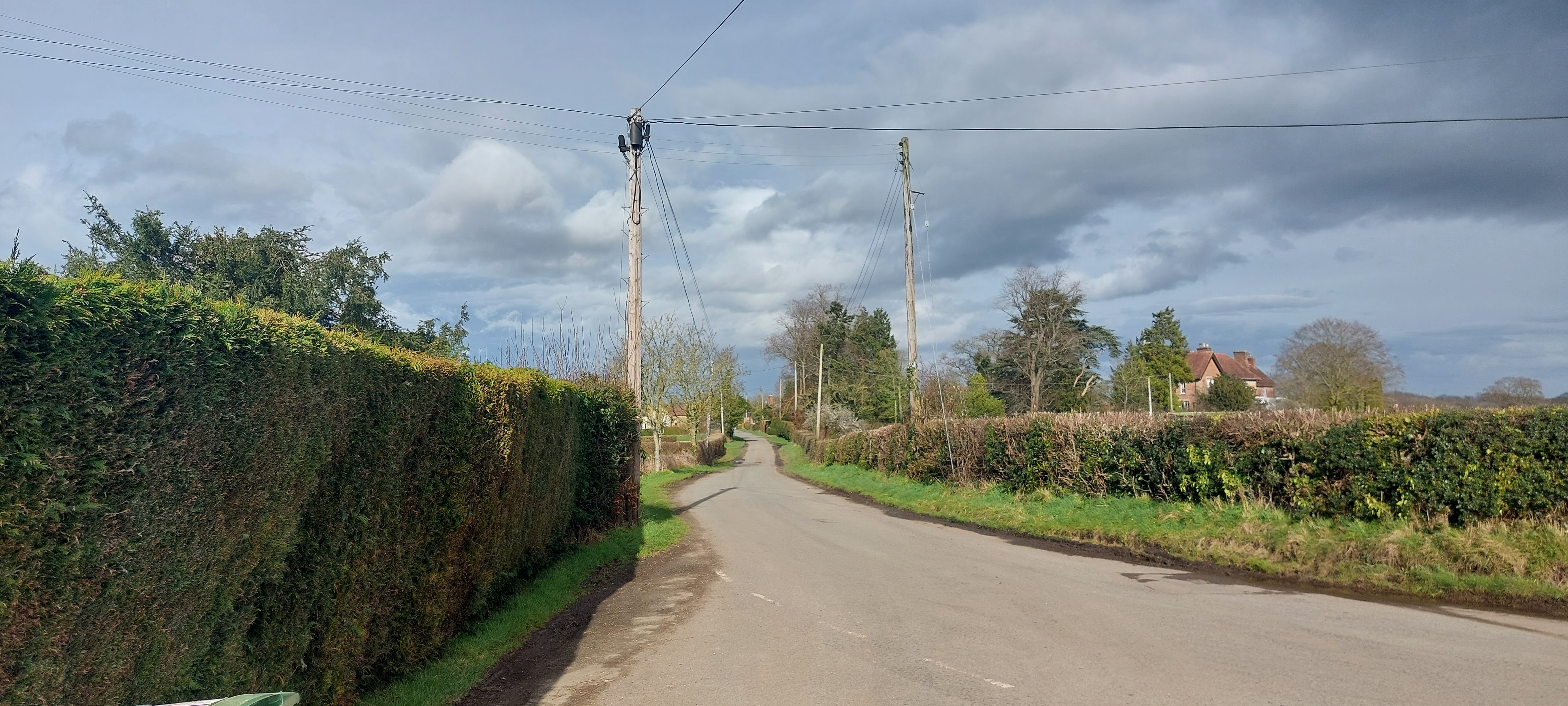
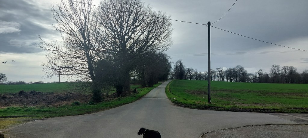
We walked along the narrow road after turning left at the junction.
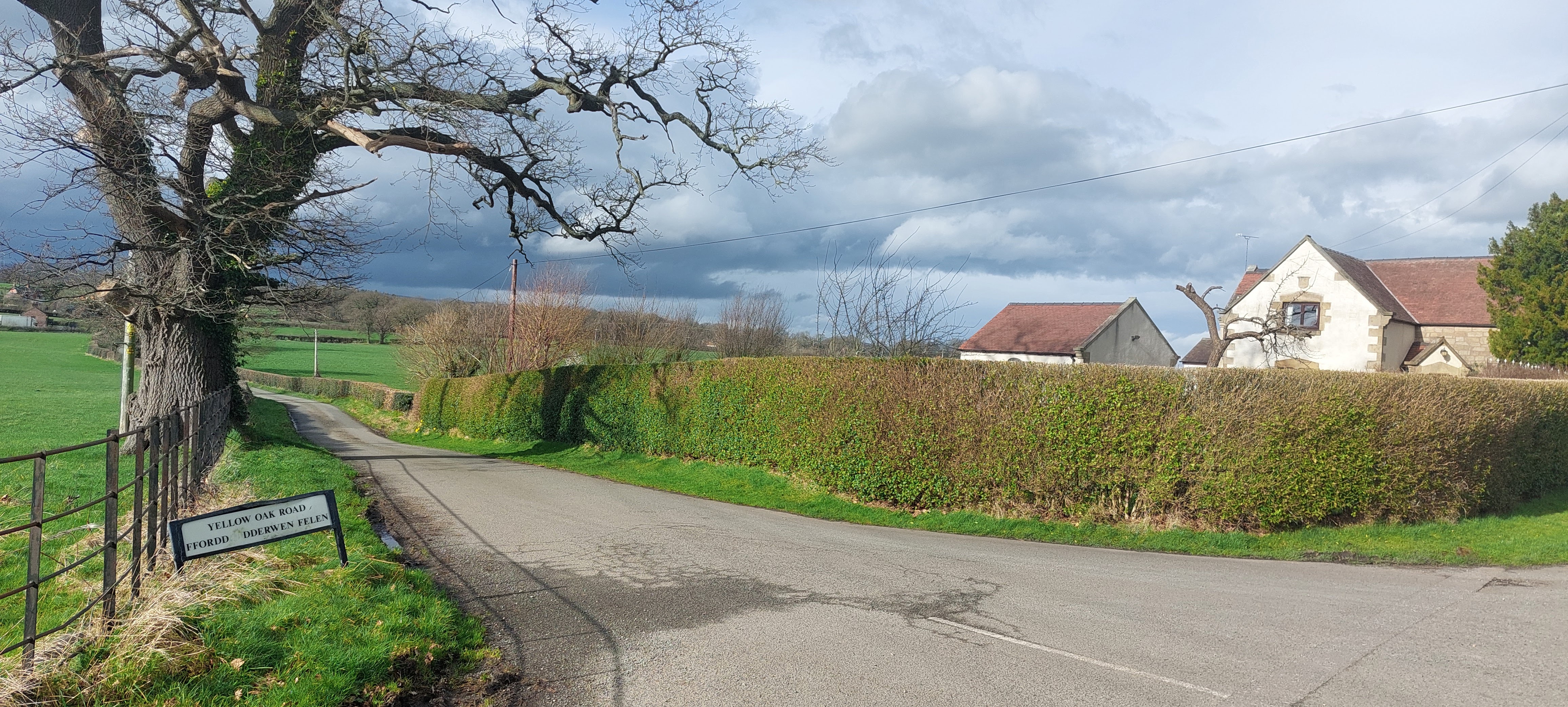
We turned left to walk down Yellow Oak Road. The countryside views opened up ahead of us but the sky was looking menacing with rainclouds forming.
On the left was a gated house called Crabmill. We passed the building as we continued along the lane.

At a sharp left turn in the road, we took the rough track on the right. This led us past two houses on the left and to a gate into a field.

The right of way ran alongside the right of the field to another gate leading into woodland.
The big feller decided that it was time for a short break, so he parked his substantial butt on the frame of the gate. I was licking my lips because I knew that it was treat time. Not before time!
The short break ended with a short muddy walk through the woodland.
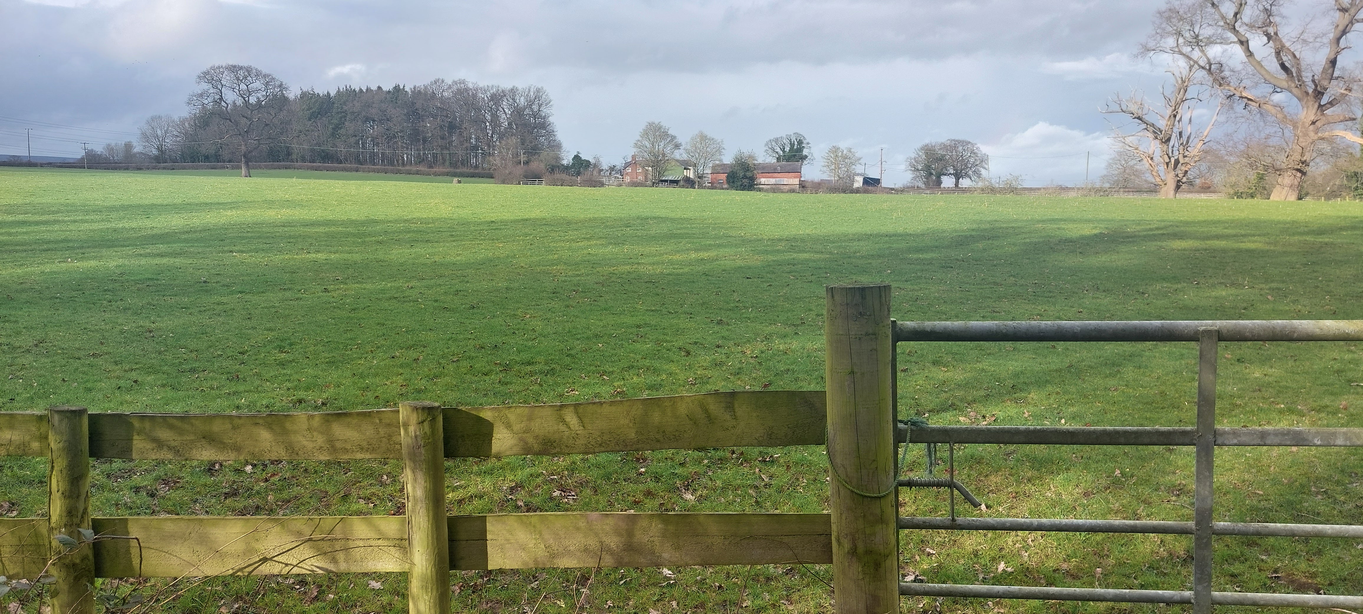
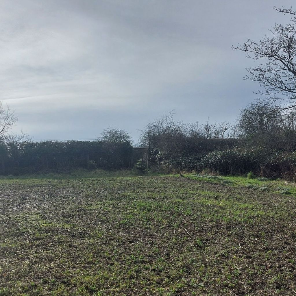
We passed through a large farm gate into another field. The route took us to the left of a few buildings at the far edge of the field.

Getting out of the field was a mission. Even though it is a Public Footpath and marked as one on the other side of the hedge, a fence has been erected at the exit of the field. Although I am a slender 22kg pooch, my human had the task of lifting me over and gently! dropping me on the other side. It seems that hikers are not welcome on this Right of Way!!!

On the opposite side of the fence, there was a narrow grass verge on the side of the A539 at Twining Hill. We turned right where we were forced to avoid the 60mph lorries heading for us from a blind bend. We were glad to cross the road after a short distance to head along Cinders Lane.
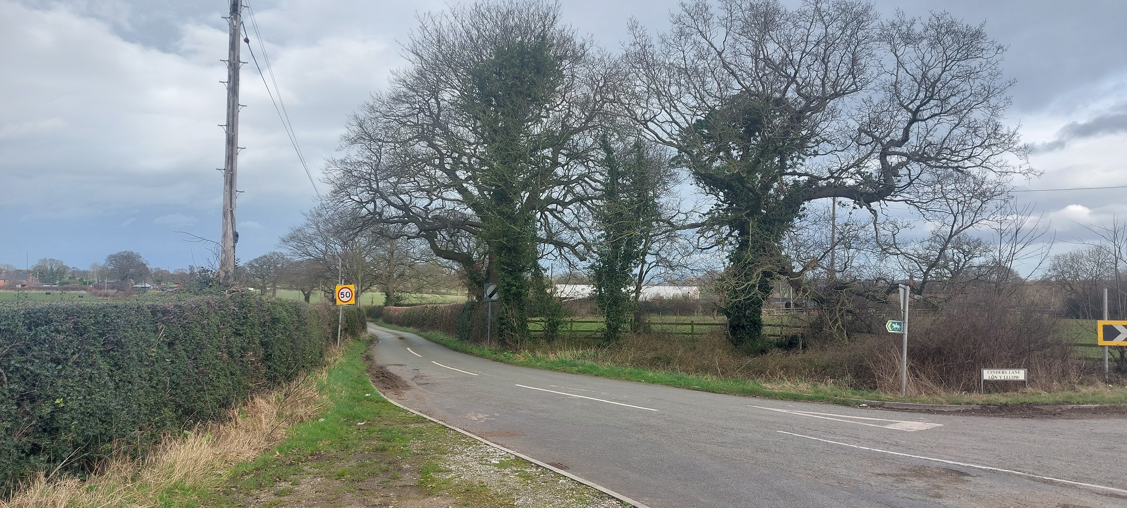
We followed the quiet lane for around 3/4 mile. This was easy walking with only one or two cars passing us.
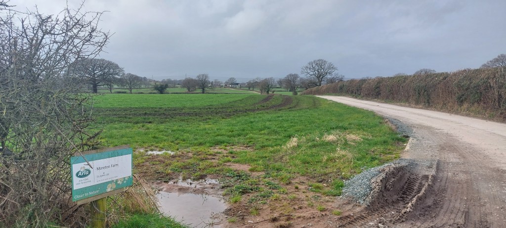
We eventually turned left off the road onto a solid farm track. As we turned, the weather took a turn for the worse. The headwind picked up, and the driving rain battered us. Fortunately, the ferocity of the weather calmed as suddenly as it had arrived, leaving us heading into lighter rain and wind.
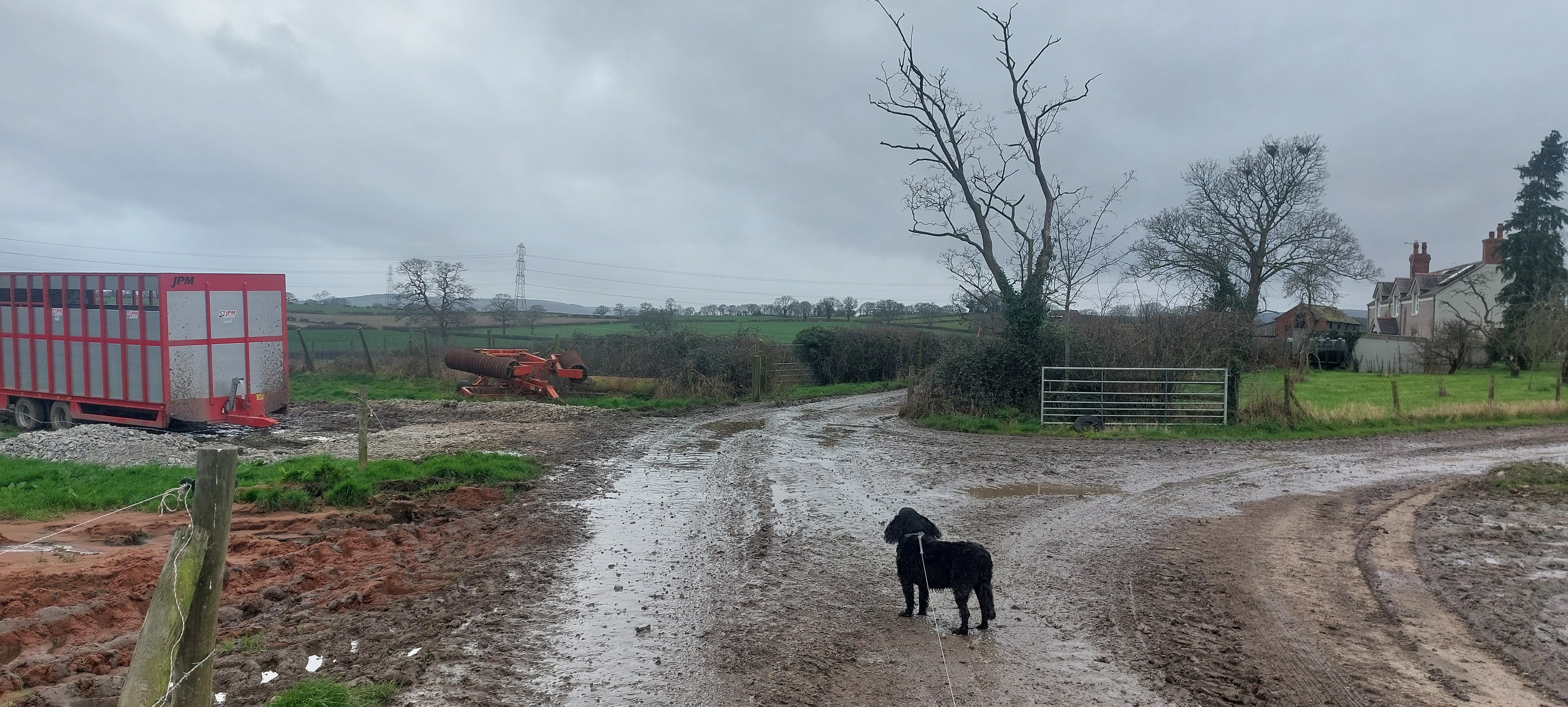
We followed the unmarked track to the left of the buildings until we found an incredibly muddy path heading left and gently downhill.
The condition of the track rapidly deteriorated. Soon, I was up to my knees in liquid cow muck and mud. At the end of the track, the situation deteriorated further still. Even my human was shin deep in the disgusting slurry. I really struggled to escape the quagmire. OK, it’s a farm track, and the rain has been heavy in recent times, but if you plan to do this walk, please be aware of the conditions that you may come across.
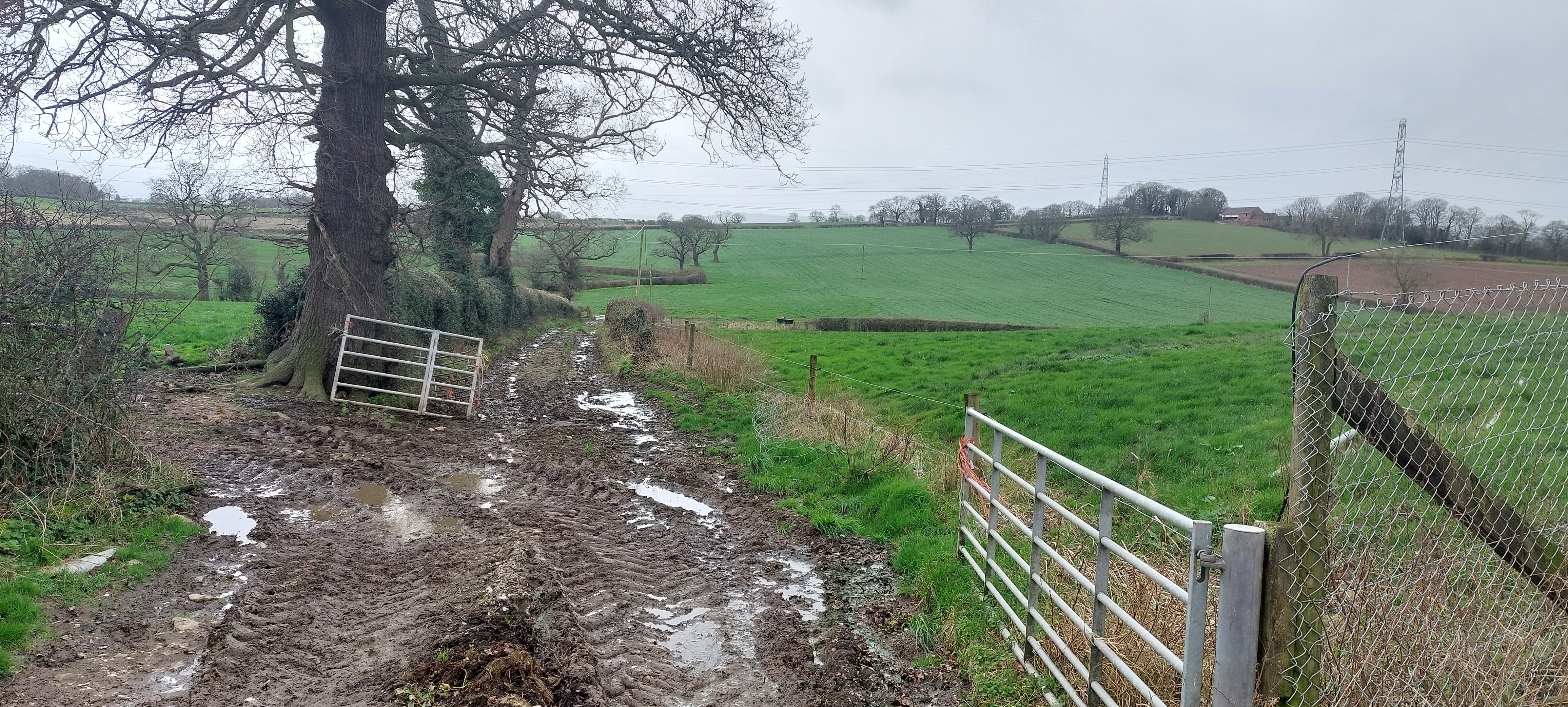
The route is not waymarked at this point, and the right of way took us across a field of crops. The crops were 12 to 18 inches tall and densely planted. We had to battle our way across a few hundred yards of this with no obvious path. My human said that I was leaping like a gazelle. It was hard going for me and the big feller.
The exit from the field was in the top corner via another stile. This was a rickety affair, and my human found it difficult to lift me over. He said that he was tempted to leave me there because I was caked in stinking cow muck. I was thinking that it was him, not me, who chose this walk!
Once we were over the stile and he had wiped the stinky stuff off his hands, we turned right along the egde of the field. We soon reached the rear of Pentre Clawdd, where we continued along the edge of the field. The path ran alongside Wat’s Dyke at this point. After entering a small wood we came to a right turn, heading downhill along Stoney Lane. It was muddy and slippery for the big clumsy feller and it took him an age to descend.
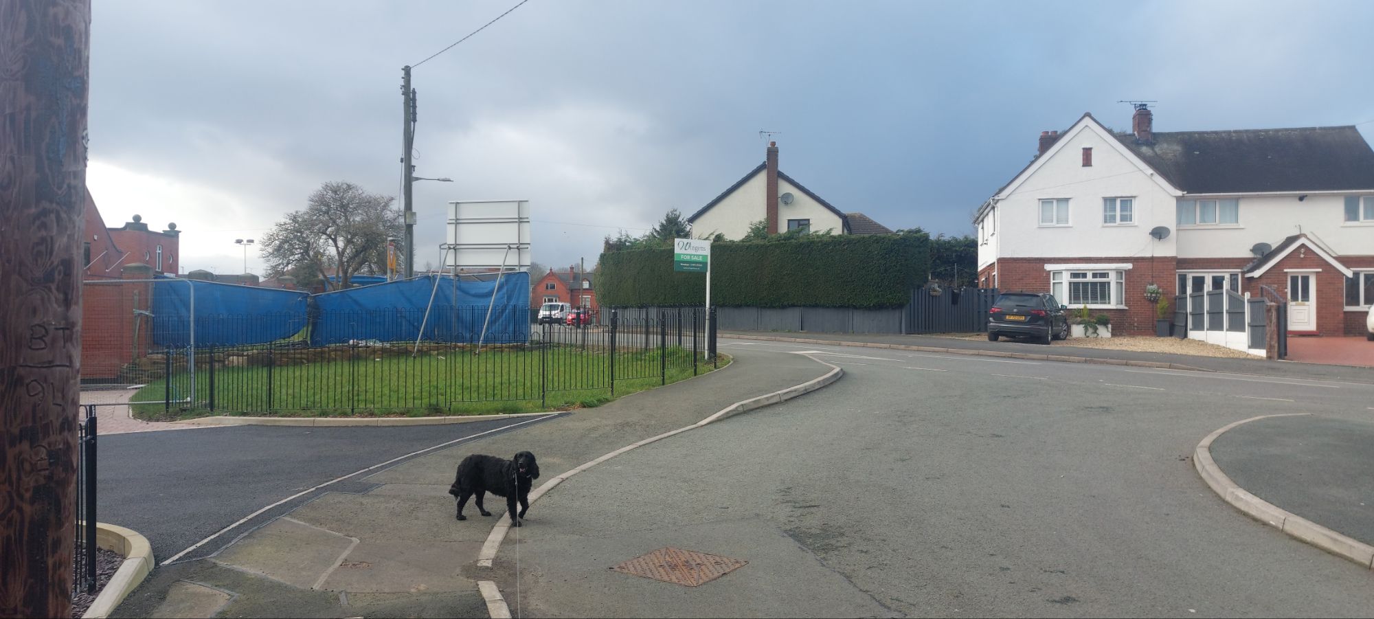
When the ground levelled out, we continued along a track at the side of some allotments. On crossing a bridge, we cotinued past Ysgol Maes y Llan, the primary school and into Ruabon village. At the road junction, we turned left and were soon back at the Wynnstay Arms.
My human said that he would not recommend this walk, in or after, wet weather due to the amount of muddy sections. He was disappointed that a few of the signposts were missing, making navigation an issue for some people. He was disgusted that a stile had been replaced by a fence which wasn’t easy to negotiate. Having to cross two large fields planted with crops without a distinct path was also a negative factor. Although the area is scenic and with plenty of historical interest, he thinks that the route shown on the leaflet needs ammending and updating.
I had to be hosed down in the garden before I was allowed in the house. My human said that I was ‘minging’. He didn’t smell of roses either.
My human discussed the walk with the Wynnstay Arms manager to express his concerns. He found a printed leaflet on the hotel reception desk so the hike is still currently being recommended. The manager seemed to be concerned and took notes recording my human’s concerns. He said that he would look into them.
Till next time!

Thanks for the post. Worth reporting to the Rights of Way officers at Wrexham County Borough Council? In my experience, they’re usually pretty responsive. https://www.wrexham.gov.uk/service/public-rights-way
LikeLike
Consider it done ✔️
LikeLiked by 1 person
Thanks to Joe and your dad for this report. It sounds as though you had a difficult walk today, not helped bt the missing signage, a replaced stile and muddy conditions. An enjoyable read from a dog’s point of view
LikeLike
Thanks Jackie. I thought that the walk was great. Loads of mud. My favourite. He’s a diva!!!
LikeLike