Hello again people and pooches. Joe the Cocker here. My human and I have been walking locally a lot lately. We recently published a blog about our walk along the Afon Eitha or River Eitha as it passed through Ruabon. This time we thought that we would follow the course of the same river as it flows through Penycae. Next time we will try to walk from the source of the river above Penycae. It wasn’t exactly an expedition to walk the length of the Nile but, it was a pleasant, if not muddy walk.
According to the Ordnance Survey maps the river is formed at the confluence of Nant Crogfryn and Trefechan Brook at Mill Lane. We chose to start our walk at the bridge over Trefechan Brook in Bridge Street. My human took his first snap as we looked upstream from the narrow stone bridge.
His second photograph is looking downstream as the narrow stream heads towards the village centre. To assess the brook further downstream we had to walk through some of the nearby streets away from the waters meandering route.

Our walk took us up Bridge Street, along Chapel Street and through the footpath leading to Hill Street where we turned left into Lambpit Street. This is where we came to the confluence of the two water sources in the Mill Lane area.
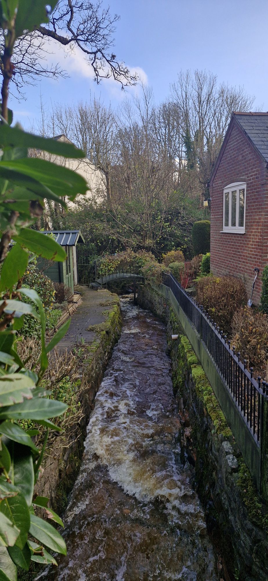
The two streams join force between the houses in this beautiful part of the village.

When we stopped at the little stone bridge, I flatly refused to pose for a photograph. My human had been neglecting me up to this point and all of a sudden he wants me to pose for photos. No way, Pedro!

Nant Crogfryn gently flows towards the Trefechan Brook adjacent to the white rendered cottages in Mill Lane.
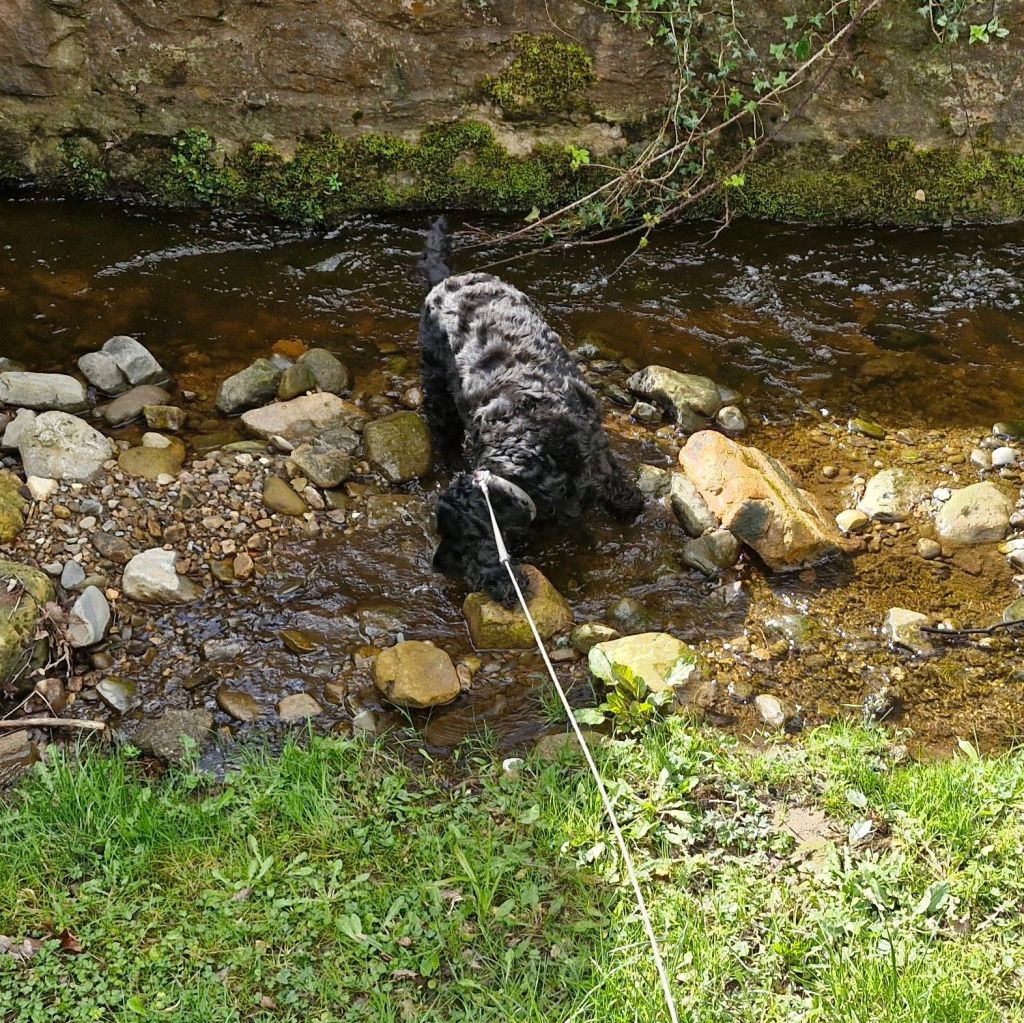
Well, at last it was my turn for a bit of fun. A short paddle in the stream. I was still attached to that extendable lead but I managed a quick slurp before it was time to move on.
The two water sources join force to form the Afon Eitha between homes in the area.

It is worth spending a few minutes strolling around this area as there are views of the streams and river around every corner.

The Eitha disappears underground as Mill Lane turns 90 degrees over it onto Poplar Road. The river heads through a tunnel under the road until it reappears in Poplar Road Park.
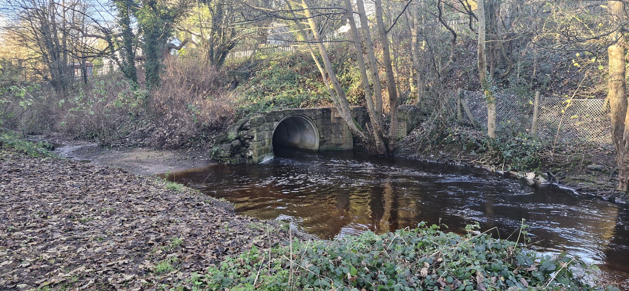
The river exits the tunnel into the park and forms a wider, shallower and slower flowing watercourse. Well, that is when it is not in spate when the area floods.
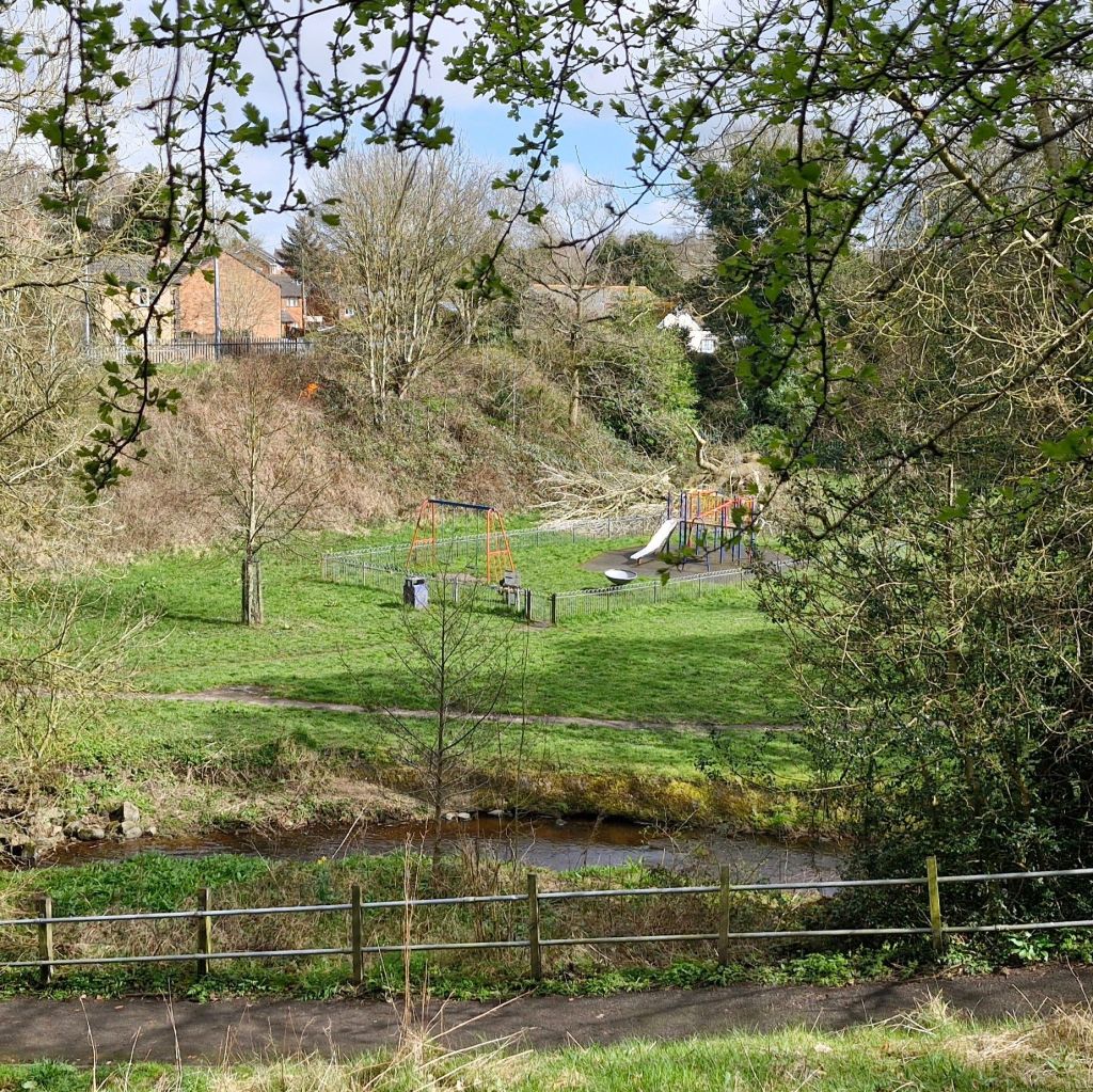
The river winds its way through the park, where I tried to escape from my human. Just for a little wash, you understand.
The park is fenced off, but you can see where people have edged past to carry on along the river bank. My human wasn’t in a naughty frame of mind, so we headed back to the park entrance.
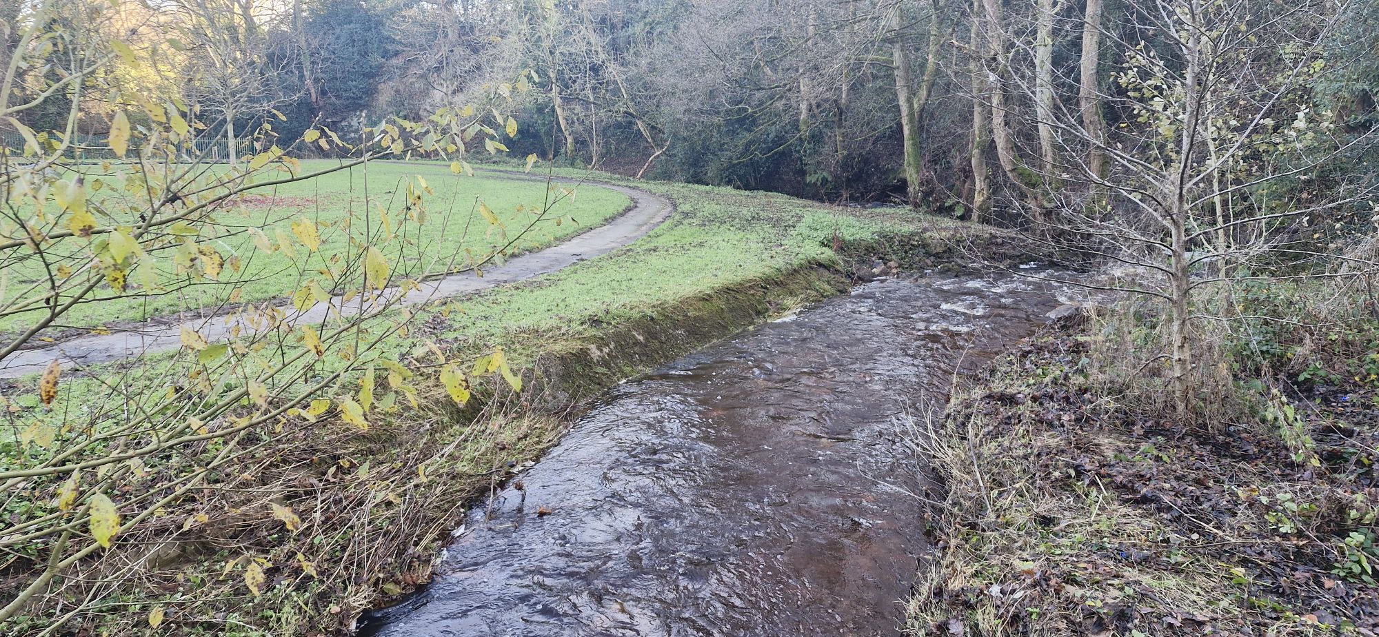
Our last look downstream from the park saw the river disappearing around a right-hand bend.
With one last look upstream in the park we headed to the next section of the river.
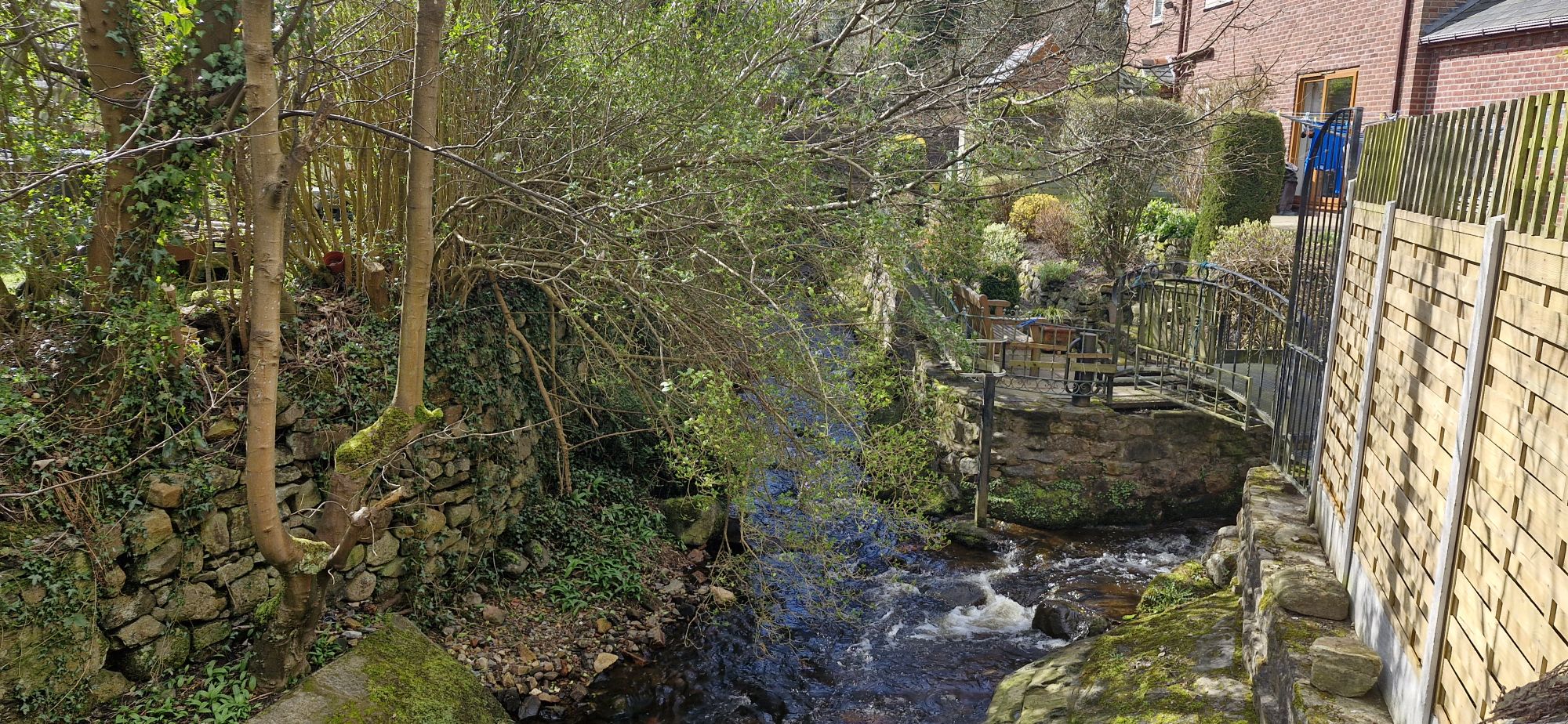
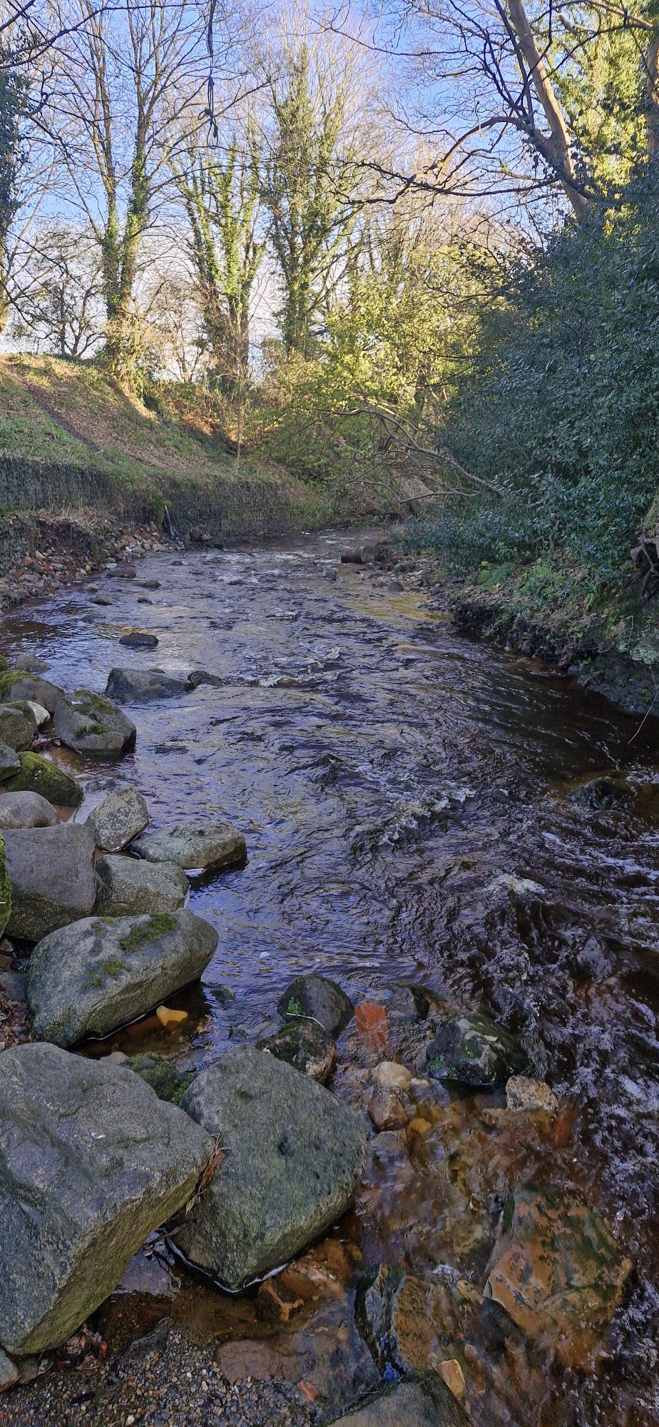
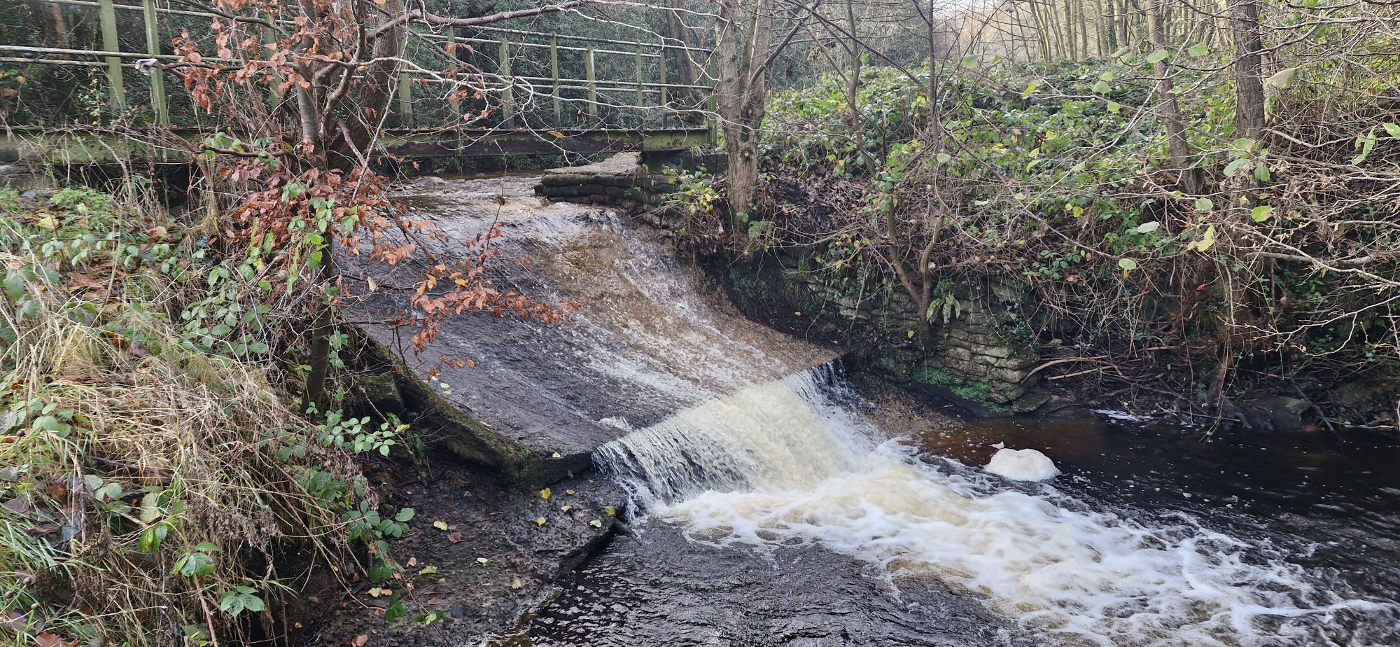
We walked back into the village and at the bottom of Copperas Hill we turned left towards Afon Eitha. The bridge towers over the river as it heads towards Gardden Woods, known locally as Rocky Woods.

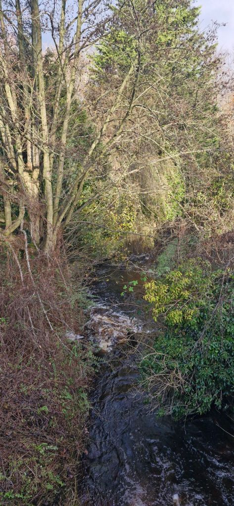
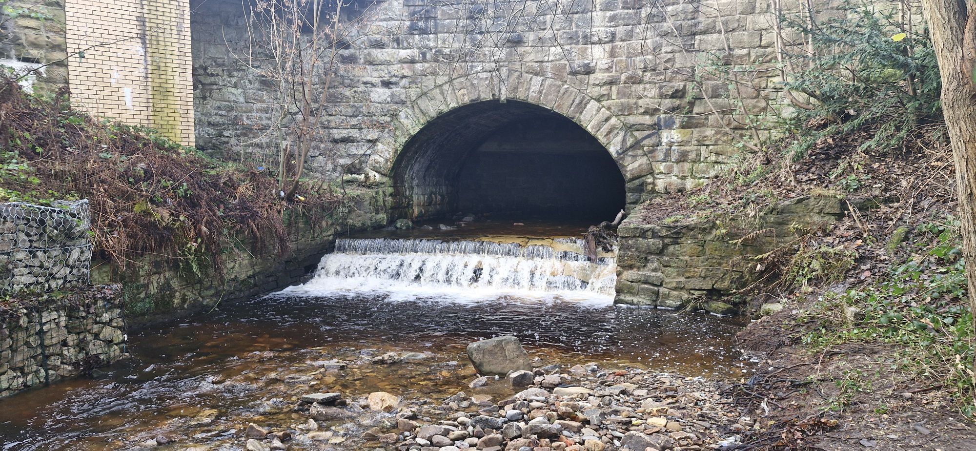
The water tumbles over a weir as it passes under the bridge.

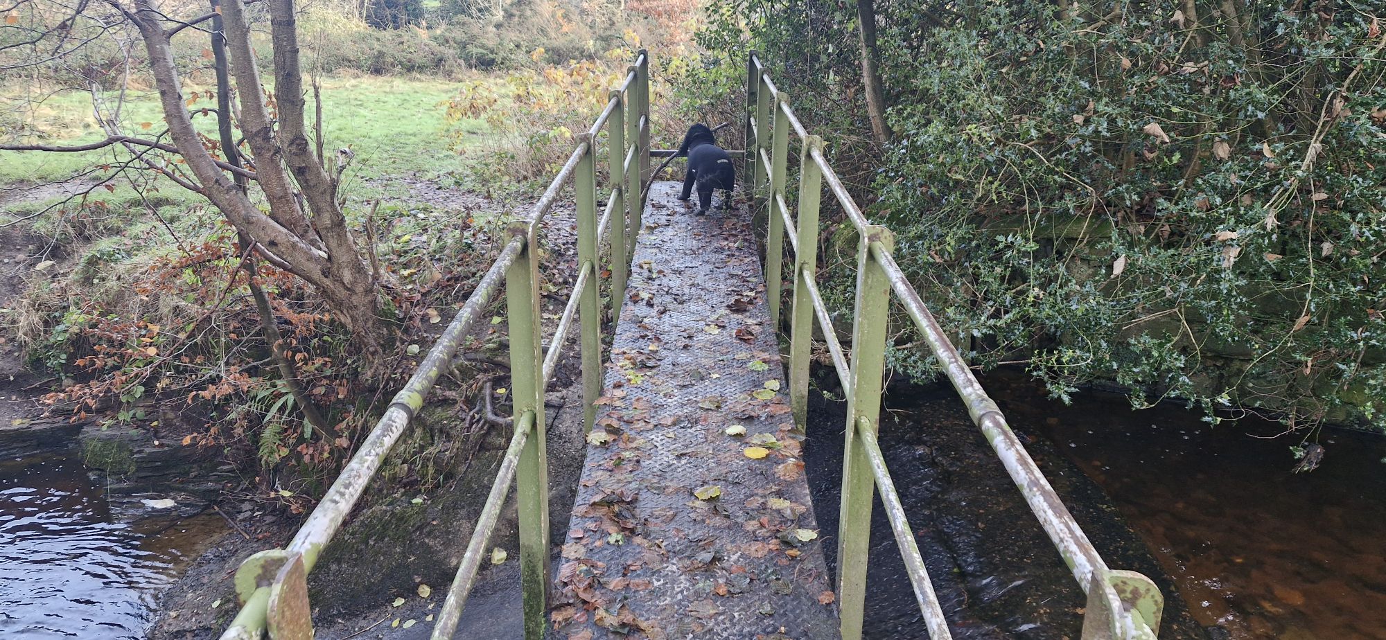
After another detour away from the river and along the B5097 until we came to a footpath on the left. We rejoined the river at a small footbridge.

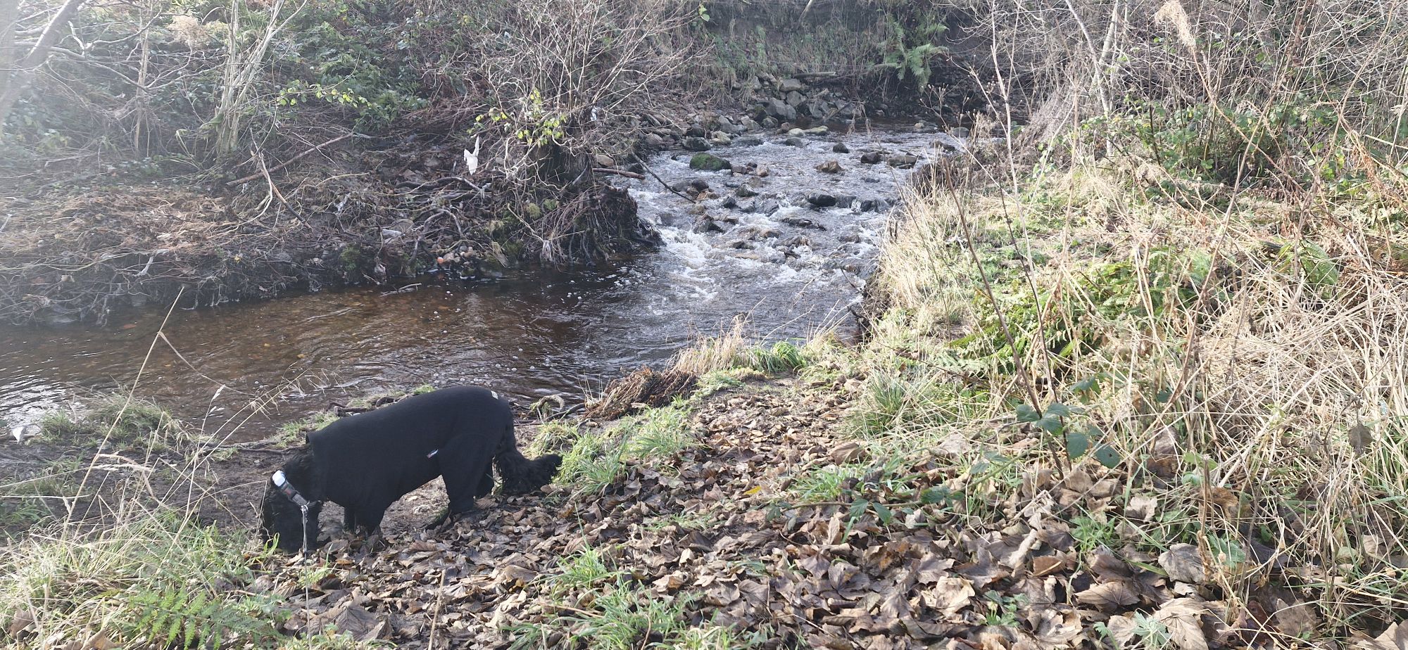
It was time for a quick dip and a slurp of the brown tinted river.
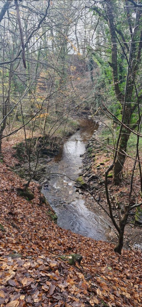
We continued to follow the river downstream towards Ruabon.
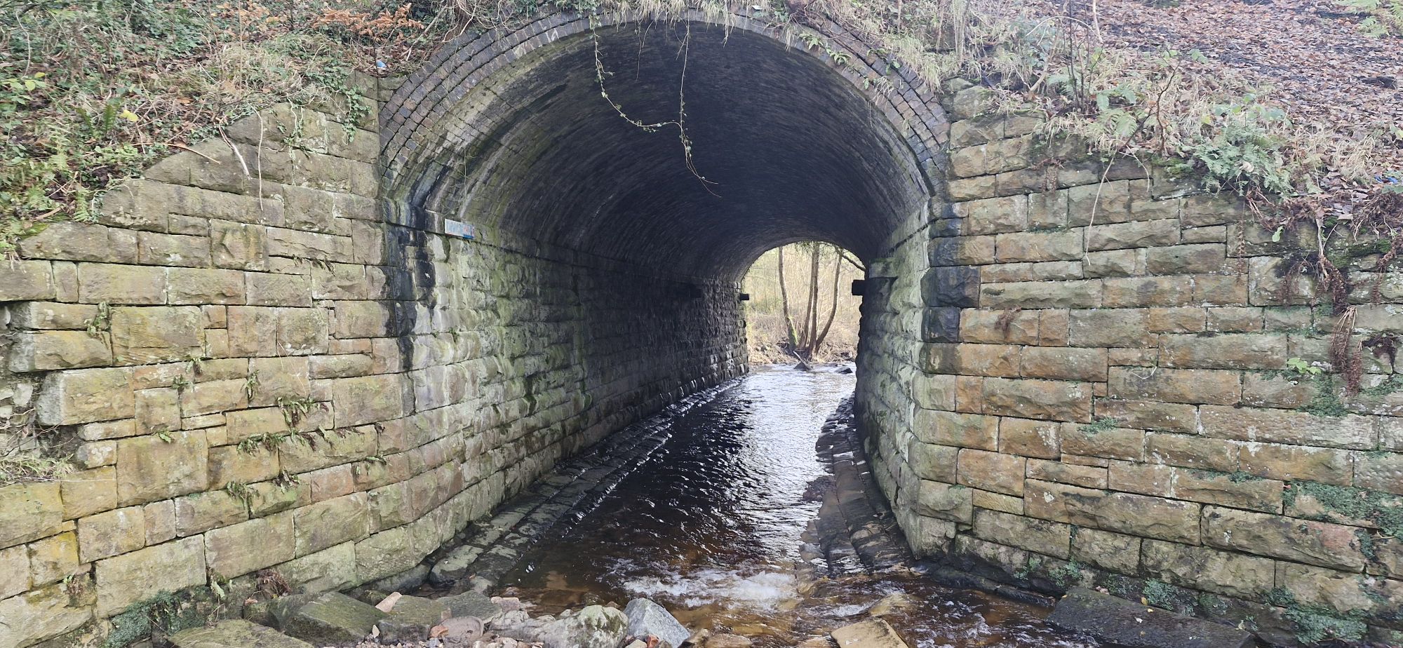
The river took a sharp turn to the right as it passed under a tunnel.
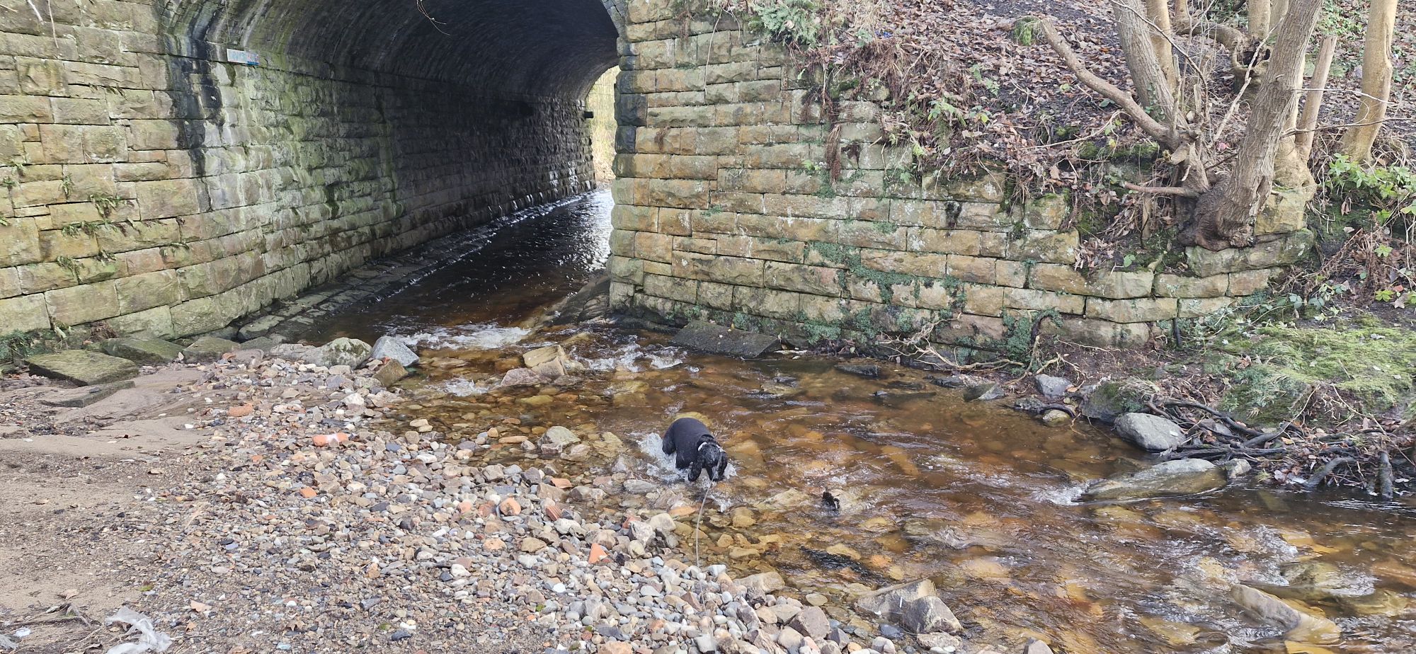
I would have liked to have paddled through the tunnel, but Captain Sensible said that we should follow the footpath that led away from the river.
So, instead, I glared at him, picked up a particularly nice stick, and plodded onwards.

We lost the view of the river as we traversed a muddy path through a field, but we could hear it as it was gathering pace in the valley to our left.
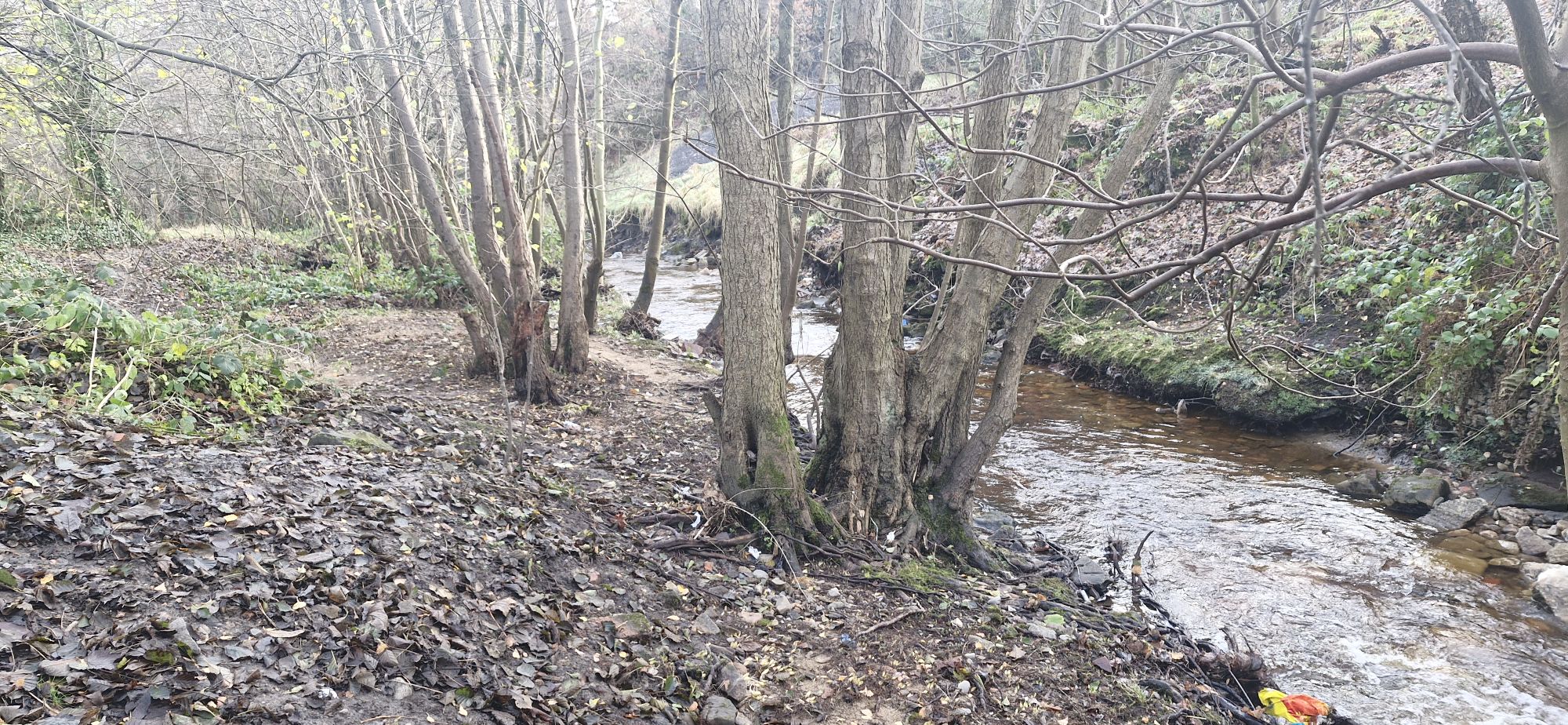
We crested a small hill before we dropped down to the river again. We were in Rocky Woods at this point.

We found a small sandy beach where I took another dip, washing off the mud from the squelchy area at the entrance to the woodland.

We soon came to Devil’s Bridge, notorious for 18th century suicides. It’s a beautiful, if not overgrown bridge, that provides views of the rock formations in the woods.

From the bridge the footpath heads down a particularly slippery and muddy but short drop.
The river weaves its way through a flood plain known as Tinaragi. The footpath weaves its own way across the flat, muddy, overgrown area. It meets up with the river a couple of times until they both meer at a footbridge.
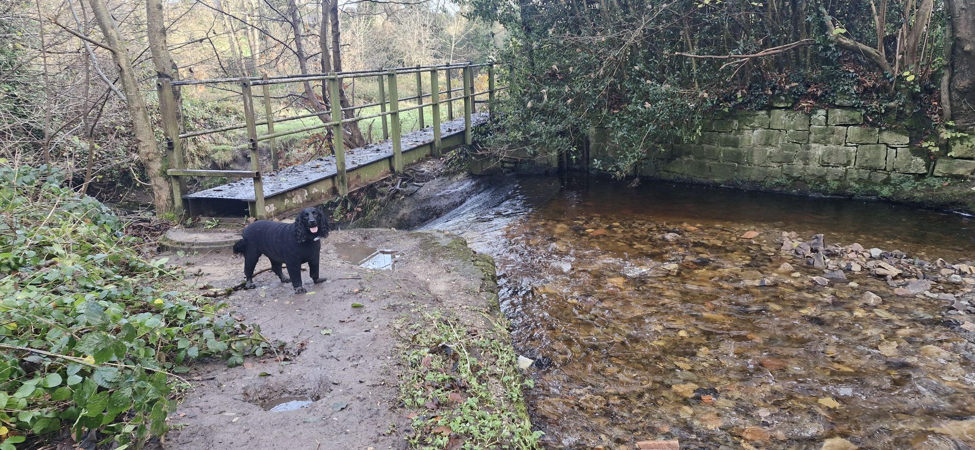
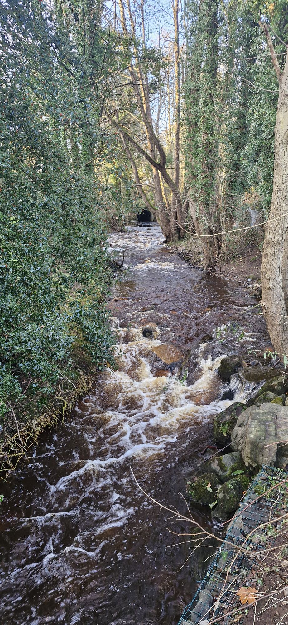
The river drops a few feet down a weir at the crossing. This is a place that I love to take a dip, but it depends on how fast the water is flowing, whether the big feller lets me play here.
My human wouldn’t let me have a swim because he is a Nervous Nelly!
OK, maybe it was a bit dangerous on this day!
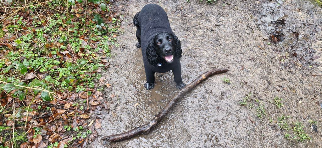
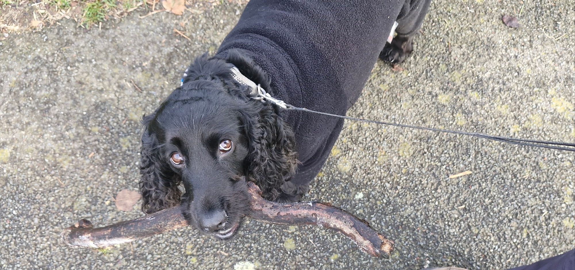
I found a rather nice stick as we were about to conclude our little hike. My human made me leave it in the woods. I wasn’t amused 😐
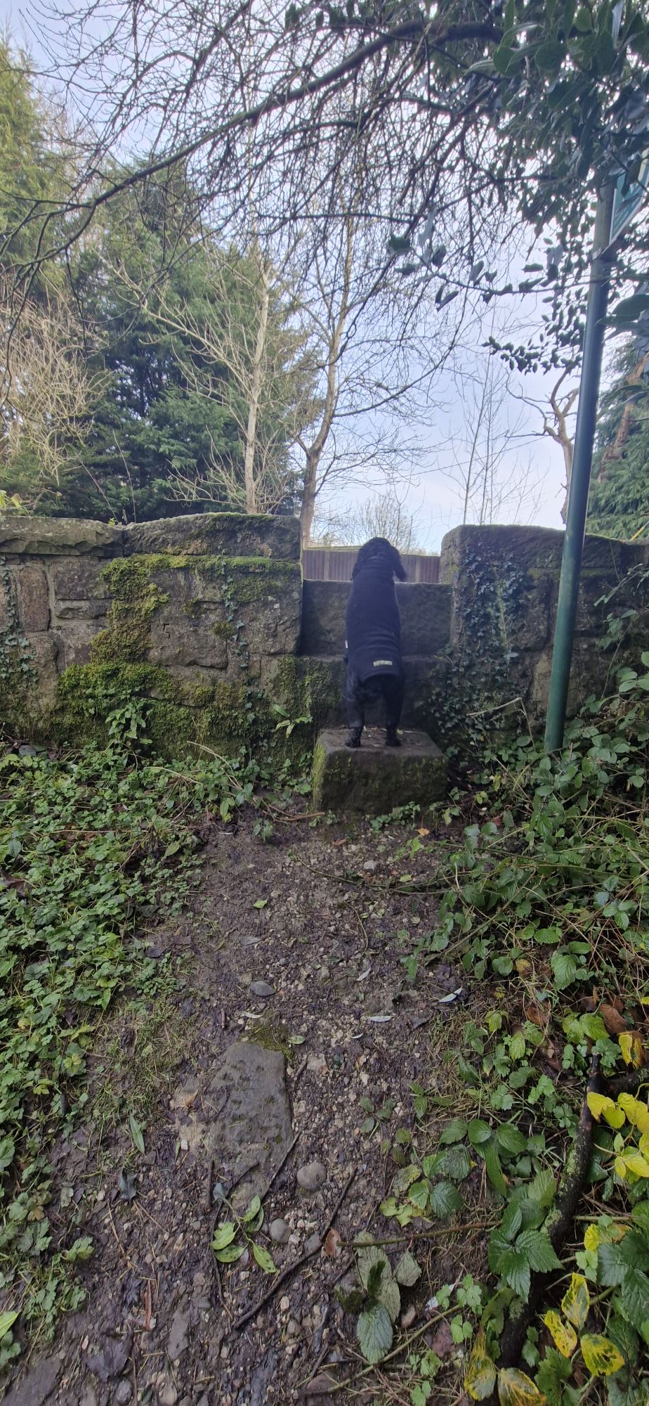
Our little trip came to an end at the road bridge at Tatham, where we started our Ruabon walk of the Afon Eitha. He had to lift me over the wall because it was too tall for me. Or so he thought. I’ve jumped over this obstacle a few times, but this time, I was really muddy underneath. I couldn’t have the stick, so I made sure that he got muddy by picking me up. Karma!
If you haven’t already seen our Ruabon blog following the Afon Eitha, here is a link to it. Till next time!
https://joethecockershikes.com/2024/10/22/ruabon-following-the-afon-eitha/

Excellent story and photos! Many childhood memories along the way.
LikeLiked by 1 person
I really enjoyed reading this account. and looking at all the photos of the very familiar area and, of course, of you Joe. Great that you got play in the water where it was safe. Brought back so many childhood memories of playing in the river, the bridges and walking from the Brandy, through Rocky Woods to Tynyraggy and schhol cross countries in that area. Thanks Joe and Malcolm
LikeLiked by 1 person
Some lovely photos here and I especially enjoyed the ones of Joe.
Dave.
LikeLiked by 1 person
I’ll pass that on to my human 😄
LikeLike
Excellent story and photos! Many childhood memories >
LikeLiked by 1 person
Thank you for reading and commenting 😀
LikeLike